Lesachtal
Untertilliach, East Tirol
This valley region stretches along Route 111 from Tessenberg in East
Tirol to Kotschach in Carinthia. The church at Untertilliach (below)
is typical of the churches in this region.
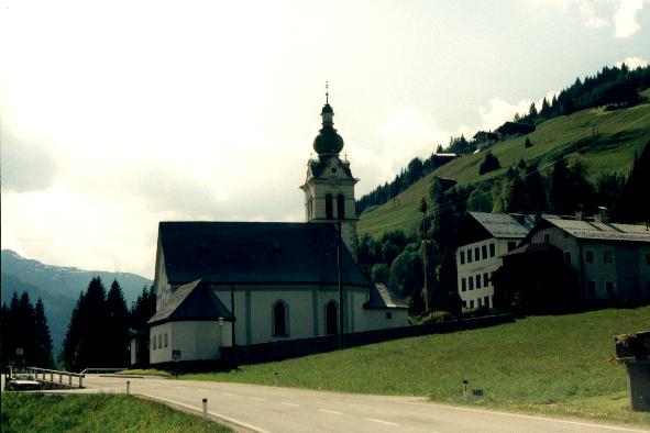
Copyright © 1999 Richard Jaklitsch
Lesachtal
Maria Luggau, Carinthia
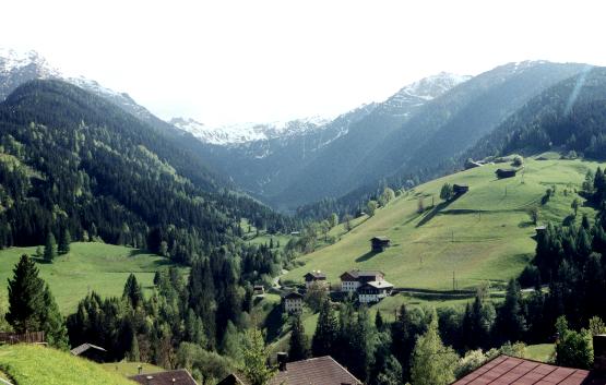
Copyright © 1999 Richard Jaklitsch
Lesachtal
Route 111, Carinthia
Running through the Lesachtal is the Gail River, the western tributary
of the Drau River, which is 77 miles long, and has its source on the northern
slope of the Carnic Alps in East Tirol. The Gail flows into the Drau
east of the town of Villach in Carinthia. From the Kartitscher
Sattel pass to Maria Luggau (above), the Gail valley is called Tilliachertal,
and subsequently the Lesachtal. The entire valley is about
56 miles long and stretches from west to east in an almost straight course
along a geological fault line. It is bordered in Carinthia by the
Gailtal Alps to the north and by the Carnic Alps to the south (above).
The Pressegger See, a small lake near the Gail river, lies between
Hermagor and Görtschach at an altitude of 1,839 feet. Starting
from Kötschach-Mauthen, the valley floor broadens and is partly covered
with marshes especially between Görtschach and Gailitz. Settlements
can be found on terraced slopes and alluvial cones throughout the valley.
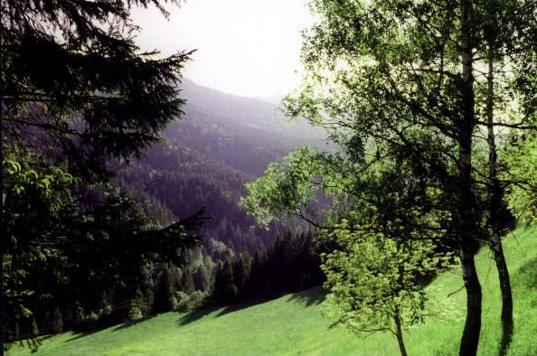
Copyright © 1999 Richard Jaklitsch
.
![]()
..