August, 1999
Far and away my most difficult hike yet!! I had planned on hiking the 2.5 miles to the peak of Kings Mountain, down to the ridgeline, over to Elk Mountain, down it, and back to the Kings Mountain trailhead for a total trip of 12 miles. What I did not plan on was the degree of difficulty. This is even worse when you do a heavy leg workout 2 days earlier. Needless to say, I was just as happy to do the 5 mile round trip to the peak and back.
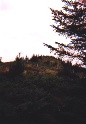
The most amazing thing happened on this hike. When we reached the peak, we signed in, were enjoying the scenery, and then we saw it. On the next mountain over, not very far away, a small herd of Elk, 6 in all, were spotted walking along a trail. 3 adults and 3 young ones. That was an indescribable feeling, to be on top of a mountain, looking out forever, and seeing such beautiful animals. Even more amazing, one of the Elk turned and looked up in our general direction, and was sniffing the air....he knew we were there. He couldn't see us, but you could tell he knew. This probably explains why Ally and I dont see very much wildlife. Enjoy the pics!!
|
|
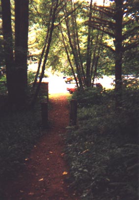
The trailhead for this hike is literally just off a highway that cuts through the Tillamook National Forest. The first red car is just another parked car. The one further back is actually a truck driving down the road. Oregon is full of trails right off a main road, and they just clear a wide shoulder or general area to park. At this point, we are standing at 680' elevation. |
|
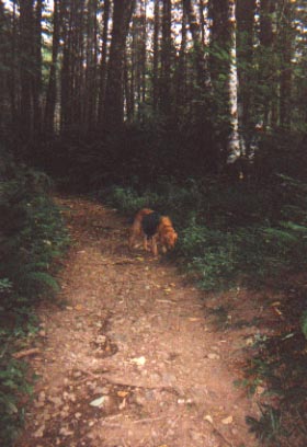
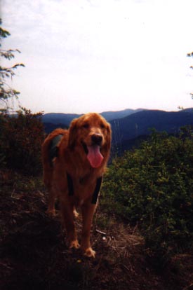
As always, Ally is 10 steps ahead of me eager to get the latest hike started. This was one of her most favorite hikes due to the scenery from up top...it was also her least favorite due to the amount of hiking she had to do. |
|
|
|
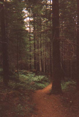
Early portions of the trail weren't that bad. Truth is though, areas like this, where you are walking on level ground, were few and far between. But this time I had a camera with a flash so that the pics inside the forest area would turn out. This is still the early part of the trail...further up, the trail is not so neat and clean. |
|
Like the other hikes I have posted on this site, the views are spectacular almost immediately. I wish the pictures were turning out better, but maybe next time. The one thing I did not get a picture of was the forest area in a fog setting. Turns out, I was hiking through a cloud. |
|
|
|
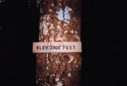
One of a few signs along the trail. At this one, we had now gone from 680' elevation at the beginning to 2,000' elevation. Keep in mind, this trail is only 2.5 miles each way.
|
|
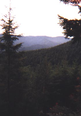
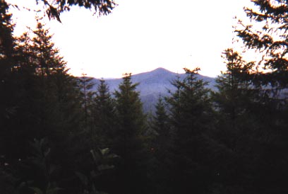
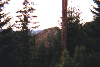
Yet another view of the mountain surroundings. It wont be long before I am looking down on these mountains in the distance. |
|
|
|
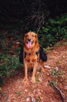
This is a rare sight. It takes a lot to get this girl to take a break on a hike. This picture was actually taken on the way down....what you cant see is the drool hanging off her tongue. Coming down this trail was the worst part!! |
|
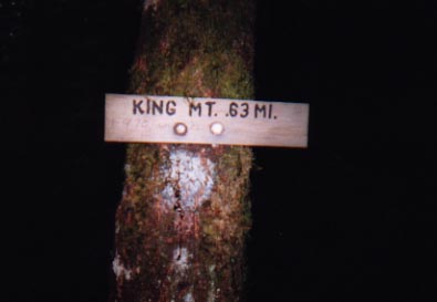
Another sign!! And thankfully, this one is letting us know we only have just over a half mile to go (which is good because our legs are killing us!). However, what you might be able to read under "King" is that someone has scribbled on the sign to let us know that yes, it is .63 miles, and 975' of elevation gain. Ouch!!! |
|
 |
If you looked in the opposite direction of the sign above, this is your view. Pictures don't do this justice. However, I still have a haunting voice in the back of my head reminding of "975' elevation gain". |
|
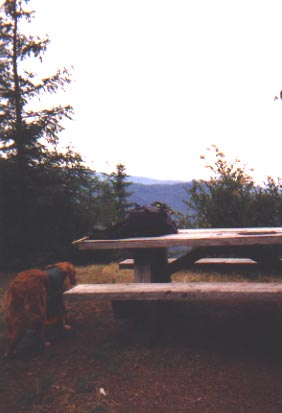
Amazing...almost to the top, we find a picnic table. Of all things, it is dedicated to Boy Scouts. Not to fear, it was lowered by helicopter. Nice place for lunch though. You cant tell in the background, but from here we could see across miles of mountains, and could almost see the ocean. |
|
|
|
So close it hurts.... the peak is not too far now!! Little did we know, that wasn't quite the top. |
|
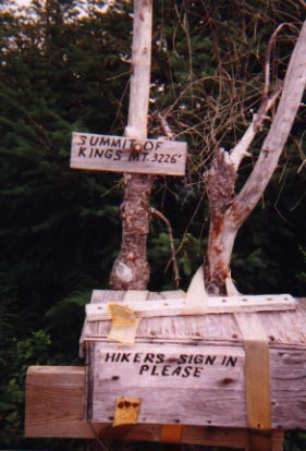
THE PEAK!!!! 3,226 feet of elevation. Almost 2,600 feet of vertical gain in only 2.5 miles. Inside the box is a plastic tube with a pen and binder with paper. People had been signing that book for months, partially to check in for Rangers to check up on us, and partly for the camaraderie of it all. |
|
|
|
On the way back down, we were both hurting. This is the last time I do a leg workout at the gym 2 days before such a challenging hike. Stay tuned though...this hike will be repeated. I am determined to do the loop. According to books, the trail we did is considered Difficult. The trail from Kings to Elk Mountain is Very Difficult. And from Elk Mountain peak to the bottom Difficult, and 12 miles to boot. |