Link to the Solent Landmark home page

Coastal Landmarks 

TeamManley
Facts behind the fix
 

The Beacon at Hillhead harbour

Hillhead Harbour 

Solent

The Second oldest canal in the country, an important nature reserve, the burning of effigies, the SBS, and a Kings Wedding. A web of history held together by a lost estuary. 


Solent landmarks  
Map
Titchfield Haven Nature Reserve
The Canal
Meon Shore huts
Titchfield Abbey
 
Hillhead harbour
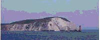
Hillhead Harbour stands at the  entrance to Southampton water.A small yacht harbour sited on what appears to be a flat featureless coastline. However, behind the shingle beach lies a wealth of history and wildlife.  

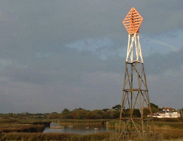
A history that has shaped the landscape and formed the rich wildlife habitat that is now Titchfield Haven nature reserve. 

Behind the shingle beach is hidden the site of what is disputed the second oldest canal in the country. A canal whose impact on the local population resulted in ritual burning of effigies. 


Hillhead harbour was originally at the mouth of the river Meon's Estuary .This estuary was navigable as far as as Titchfield which was an important mediaeval port with a cross channel trade. It all changed in the 17th Century with the building of a dike cutting off the river from the sea. The estuary was turned into productive farmland and a canal became the route for seaborne cargo. In the twentieth century the habit created behind the Dike became recognised as a valuable asset for wildlife and in 1974 Titchfield Nature reserve was formed. 
Today river Meon reaches the coast by passing through a set of sluices into the Hillhead harbour.  The harbour is maintained and dredged by the Hill Head sailing club who lease it from Hampshire borough council. 

Key dates in  the harbours history 


  • 1594 Henry Wriothesley became third Earl of Southampton inheriting the estate. 
  • 1611 The  Harbour was silting up the  Earl had a canal and seawall built .
  • 1870's Movements in shingle closed the Canal's access to the sea.
  • 1911 The Seawall rebuilt by Delame Radclifee estate. 
  • 1920 Cliff road built to give public access. 
  • 1930 Hill head yacht club formed saltmash plants removed to create mooring space. 
  • WWII access restricted and the sluices fell into disrepair. SBS trained in the area.
  • 1948 cofferdam built for new sluices that allow fresh water out but keep sea water out. 
  • 1976 Estate was bought by Hampshire council.
  • 1998 Haven house converted to visitors centre.

 
Some suggested TeamManley links to follow 
Netley Dome: The landmark to the West  
Fort Gilkicker The Landmark to the East 
Osborne House The landmark opposite 
 
Hosted by www.Geocities.ws

1