 |
 |
Advert Here |
| Radcliffe is located in a semi-rural setting on the outskirts of Manchester. The town is about 8� miles northwest of Manchester city centre. The River Irwell runs through the centre of Radcliffe and a canal (Manchester, Bury & Bolton canal) also runs through the town. The population is around 30.000 inhabitents although this is due to increase as new residential areas are being built. |
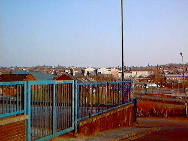 |
| Picture taken from Green Street looking across to the derilict Radcliffe Paper mill in January 2001. This closure was a blow to Radcliffe which cost over 400 jobs. The mill has now been demolished and replaced with a housing estate. |
| The town used to be well known for its two paper mills (Radcliffe paper mill & East Lancs paper mill) and also Halls toffie works. All three of these companies who paid half decent wages have gone now and unemployment and low paid jobs are very common in the town. |
| Bury council, these people try their best but they find it hard to get any public investment from national funds. The town centre of Radcliffe has been slightly modernised, but the 1970's style architecture is still evident. |
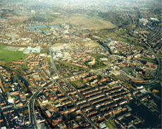 |
| Aerial veiw of Radcliffe |
 |
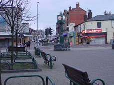 |
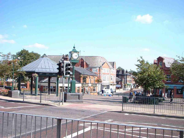
| Radcliffe town centre |
| Radcliffe town centre |
| Radcliffe has two high schools, Radcliffe High School and Coney Green High School, they have now been merged into one and called "Riverside High School". This is because a brand new school is being built on the former East Lancashire Paper Mill site. When this new school is completed, the two old schools will be demolished and all pupils will be on the new site. The town is on the Metrolink route and trams to Bury and Manchester are availible every 5 to 15 minutes (depending on the time of day). The motorway network is nearby too, Junction 17 is just a couple of miles up the road in Whitefield. Despite the negatives of Radcliffe, there are also a good deal of plus sides too. The price of buying a house is a lot cheaper than in Bury or Whitefield. The fact that open countryside is never far away is also a great benifit. The Outwood nature trail is one of the most recent additions to Radcliffe, built on the disused Radcliffe to Clifton railway line, the trail is awash with wildlife and woodland, this is one of the councils great achievements. Radcliffe has a very long history, remains which have been found deep underground date back to around 6000 BC. If you go to our links page you will see a site named 'History of Radcliffe', this website is very useful for looking up the local history. For a more detailed look on the town, the library on Stand Lane is a good place to start. There are many books about the history and makeup of the town. |
| Many shops in the town centre are having a hard time because of the very large 'Asda' 24 hour supermarket. This store sells everything from clothes to electrical goods and it has took a lot of business from the local shops in the town centre. The supermarket situation isn't unique to Radcliffe, it has happened right accross most towns and villages in the United Kingdom. |
| Local issues are decided by a group called the 'Radcliffe Area Board' and councillors from |