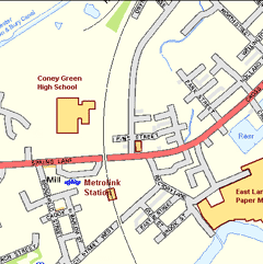
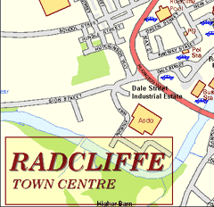
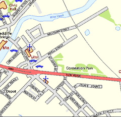
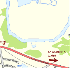
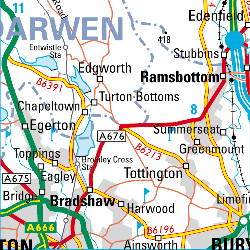
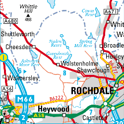
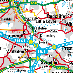
| Radcliffe is about 8� miles north west of Manchester city centre. The main transport link is the M60 motorway, junction 17 is just a couple of miles up the road in Whitefield. The Metrolink tram service runs through Radcliffe on the former railway line and travels to Bury and Altrincham via Manchester. The larger and more developed town of Bury is just a ten minute car journey away and Bolton isnt too far either. The best link into Manchester and Bury has to be the Metrolink tram service. There is normally a tram every 5 to 15 minutes depending on the time of day and in 20 minutes you can be at Piccadilly station in Manchester, Radcliffe to Bury only takes around 5 minutes. Radcliffe has some excellent coutryside surrounding it to the south and north east of the town, tracks for walkers, horse riders and cyclists have been refurbished in these areas. |