 |
The west end of Prescott in 1929 showing one of the Wiser houses on the extreme left. The industrial complex at the foot of Sophia Street has since been replaced by Centennial Park, boat launch and tennis courts. |
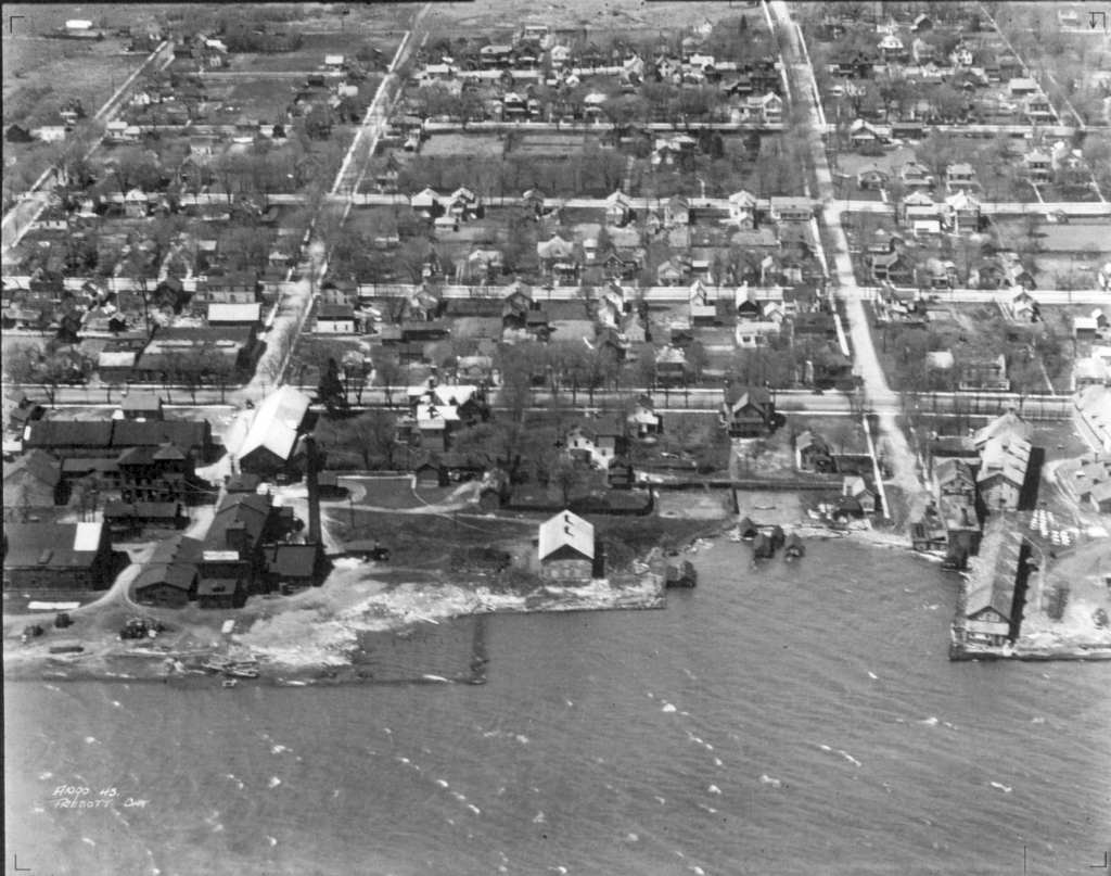 |
Between Ann and St. Lawrence Streets is now also part of Centennial Park. The Rosamond House is barely visible on the right. It has some larger industrial-looking buildings attached to it. |
 |
Between West and George Streets, the DLD (Dominion Lighthouse Depot) Building dominates. The ferry to Ogdensburg docked at the foot of West Street. The Alexandria Hotel is prominent in the middle to the left of the DLD Building. |
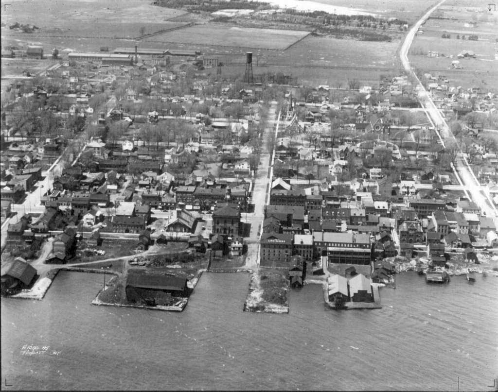 |
Further downtown, from George Street, almost to Edward
Street. At the centre is the Moran-Hooker building, sporting the sign "Home of
Lifesavers". It was the first Lifesavers candy factory. Also prominent in the centre is the town hall.
|
 |
This image shows Edward and East Streets, with the CPR roundhouse and remnants of the railroad terminus in the foreground. I'm fairly certain that earlier, this area was built out on wooden pilings. There was also a large grain elevator at the foot of East Street until the 1920s. That rectangular construct jutting out into the water between Edward and East Streets may be its foundation. See the photo from the 1940s brochure on the Other Air Photos page for a slightly earlier photo. and the 1800s page for a much earlier drawing. |
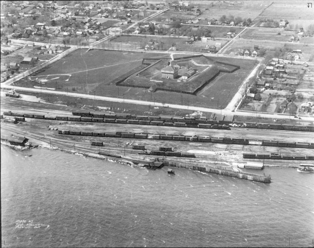 |
The venerable Fort Wellington maintaining its dignity despite the large "HOLLYWOOD"-like sign. The CPR yard is still active, note the train station at the extreme left side of the image. |