|
Learning Center on Caribbean Weather and Climate |
Society - Economic benefits of meteorology and hydrology |
Civil worksA simple instrument like a rainfall recorder can provide important information. This is used to calculate rainfall rates, ie. how hard the rain is falling. One-minute, five-minute, ten-minute, half hour rainfall rates are calculated. These are used to design drainage systems for buildings, roads, airports, and communities. Proper drainage designs can reduce the incidences of floods, thereby keeping the economy running and also eliminating the need for costly retrofitting of drainage systems.
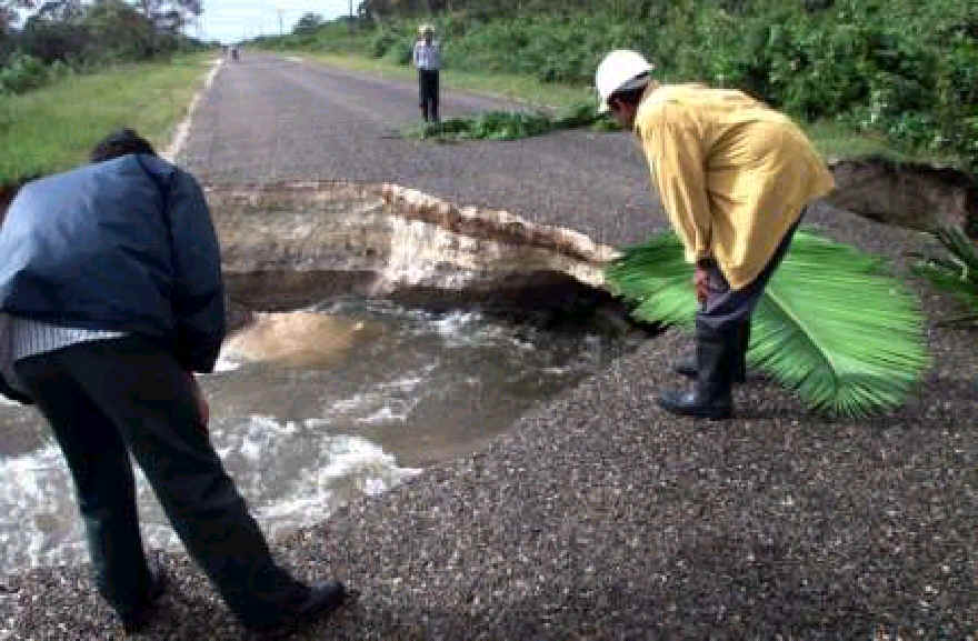
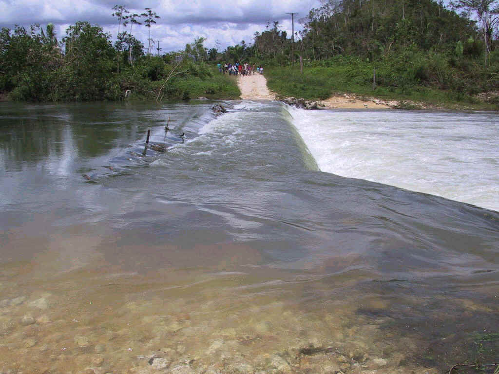
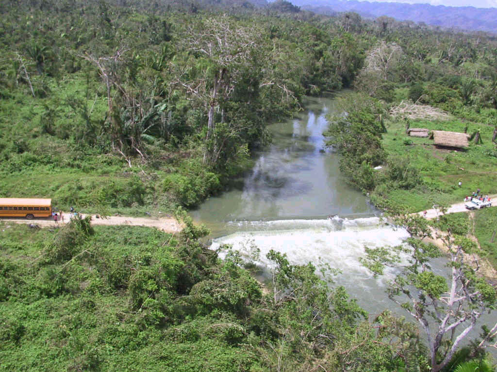
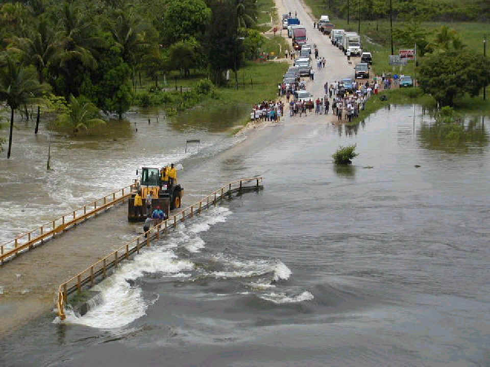
Engineers are also using our data to design bridges across rivers especially in southern Belize, which undergo regular floods. These roads became impassable for several days at a time five or six times a year because the bridges were submerged. This was a situation that had become unacceptable. So hydrological data was used to determine the annual, five-year, ten-year, twenty-five-year, fifty-year and hundred-year floods. A cost-benefit analysis was done to determine the most appropriate bridge for each location and the level and periodicity of flooding which could be tolerated. This data has contributed to a reduction in design cost and provided decision makers with the data to make decisions that are politically palatable.
Pics by Mr Carlos Fuller, Chief Meteorologist, Belize Meteorological Service. Unfortunately, only some of our rivers are being monitored and our vast underground aquifers have not yet been monitored or mapped. As a result, well digging is an expensive operation as twelve wells on average are dug before water is found. Accurate hydro-geological maps would reduce this guesswork significantly reducing the cost of well digging. Learn more about hydrology in the Caribbean! Back to top of this page |
| Economic benefits of meteorology | Disaster preparedness | Aviation meteorology |
| Agricultural meteorology | Hydrology | Weather, climate and human health |
| WEATHER AND SOCIETY IN THE CARIBBEAN HOME FUNDAMENTALS CLIMATE WEATHER SCHOOLS ABOUT NEW |