|
Learning Center on Caribbean Weather and Climate |
Society - Economic benefits of meteorology and hydrology |
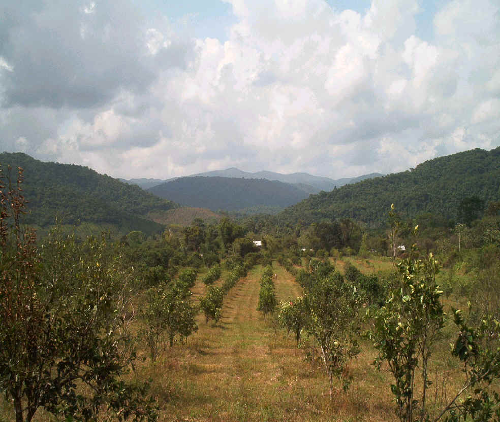
Agriculture - Case study: BelizeIn Belize, Kenrick Leslie who had served in the forecast offices in Trinidad, Jamaica and Nassau of the British Caribbean Meteorological Service, returned home 1962 and joined the Civil Aviation Department as its meteorologist. And he came with an ambitious twenty-five year plan to develop a national Meteorological Service. British Honduras at that time had several weather stations. Naturally, there was one at the airport. The United States government had established one in Belize City in the early 1900s. The Agriculture Department had several stations around the country, as did the Forestry Department. Several individuals also had private weather stations. These individuals and agencies did not share their data with each other. In fact at one site, the Agriculture and Forestry Departments had their stations directly across the road from each other. One of Kenrick’s plans was to amalgamate these weather stations into a national network. He standardized the time of the observations and the quality of the instruments used. Trained instrument technicians provided free maintenance and training to the observers as the individual networks were transformed into a cooperative national network. The data was sent into the central office where it was processed and archived. A Climatology Section had been created. When the climatological data was analyzed, it was obvious that northern Belize received only 60 inches of rain per annum while southern Belize got as much as 160 inches each year. This information could be used by farmers to plant the most appropriate crops in each location. Crops, which needed a lot of water such as rice, should be grown in the south, while those that only needed less water such as vegetables would thrive in the north. In the late 1800s after the Southern States lost the US Civil War, Confederate soldiers came to Belize and started sugar plantations in the south. These failed and it is obvious that they had chosen locations that were far too wet. Too much water reduces the sugar content of the crop and wet fields are also very difficult to harvest. While the isohytal maps showed the rainfall distribution around the country, isothermal maps did the same for temperature. These maps, which show the spatial distribution of average, maximum, and minimum temperature can be used to determine which crops will flourish in certain locations. Experiments are now underway in growing grapes in the interior of the country. Further north one entrepreneur is growing gourmet coffee under the shade of citrus trees. These endeavours are only possible if there is a network of weather stations providing reliable data and the data is analyzed and made available to the public. Belize and Guyana had always been envisioned as the breadbaskets of the Caribbean and Mr. Leslie knew that meteorology could contribute to Belize’s agricultural productivity. So he created an Agrometeorological Section in the Met. Service. Citrus is a major crop in Belize. There were once two factories processing the fruit into concentrate, but these have now been amalgamated into one. A port facility was erected nearby exclusively for the shipment of the concentrate. One disease, which affects the citrus crop, is the premature fruit drop disease. Light rain and cool temperatures (mid 60s) are conducive for the development of this fungus, which causes the fruit to fall off the tree before they are mature. This can be prevented if fungicide is applied before these conditions occur. Therefore, special citrus weather forecasts are prepared and transmitted to the citrus industry so timely applications of the fungicide can be planned. Instead of regular and costly applications of the fungicide, spraying is done when weather conditions are forecast to be favourable for the fungus to develop. In addition, if wind conditions are optimum, the spray can be applied by aircraft. This service reduces losses, but also increases the profit margin by reducing unnecessary application of fungicide.
Bananas are also a major crop in Belize. However, our latitude and location on the mainland make the country susceptible to strong cold fronts that can cause temperatures to dip into the 40s and even the high 30s on occasion. When temperatures fall to 55 degrees for more than two hours, it causes the fruit to blacken. Farmers employ preventative measures such as heaters or spraying water to keep the fruit warm. They also shield the fruit with double bags to keep them warm. The Met. Service tries to assist the farmers by providing a special banana weather forecast so that they can prepare their crop for these conditions. Weather stations have been placed in their fields to provide data on conditions as the crop is developing. This data is used in preparing these specialized weather forecasts. Learn more about agrometeorology in the Caribbean! Back to top of this page |
| Economic benefits of meteorology | Disaster preparedness | Aviation meteorology |
| Agricultural meteorology | Hydrology | Weather, climate and human health |
| WEATHER AND SOCIETY IN THE CARIBBEAN HOME FUNDAMENTALS CLIMATE WEATHER SCHOOLS ABOUT NEW |