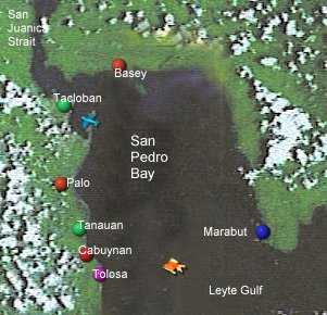
| San Pedro Bay opens
out from the San Juanico Strait near the Port of Tacloban, at
the North-Western Corner of the Bay, into the Leyte Gulf
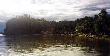
at the South. The Northern and Eastern Shores are that part of the southern coast of Samar from the San Juanico Strait to Marabut. The town of Basey is on the northern shore of the Bay.
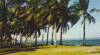
The Western Shore is that part of the East Coast of Leyte from Tacloban in the North to Tolosa in the South. The towns of Palo and Tanauan are on the western shore of the bay as is the barangay, Cabuynan.
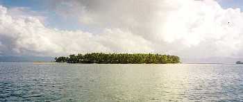
San Pedro Bay is about 20 kilometres wide (East-West) and about 24 kilometres long (North-South).
North Bounding Coordinate:
11.26489641
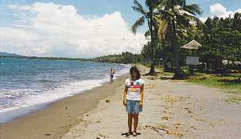
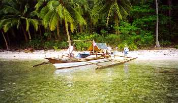
The Western (Leyte) shoreline has no reef but sandy all tide swimming beaches. The sand is a mix of white sand and black volcanic sand. The colour of the sand can vary from day to day from golden to grey to black. The water is crystal clear during fine weather, but can sometimes get muddy after heavy persisant rain.
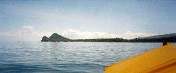
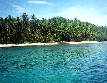
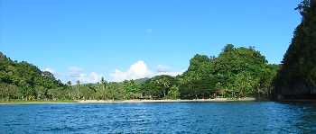
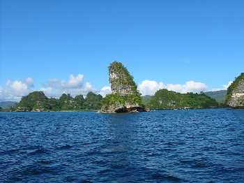
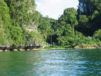
The Eastern (Samar) shore has reefs and golden beaches of shell and coral. Swimming from the beach can be difficult at low tide. The road from Basey to Marabut is a beautiful coastal scenic drive dominated by lime outcrop coastal islands and golden palm fringed beaches. |
|