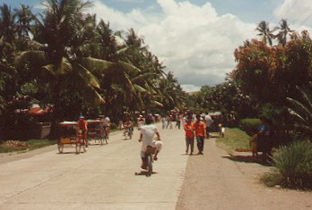
| Cabuynan is a barangay in the municipality of Tanauan in the
province of Leyte in the
Eastern Visayas (central Philippines). It is situated on
The Maharlika Highway between the towns of Tanauan and Tolosa 20
kilometres south of Tacloban the
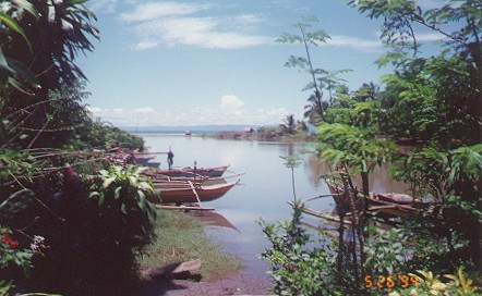
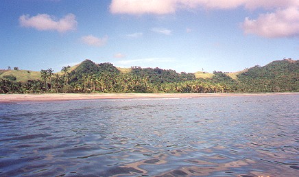
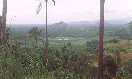
capital of Leyte Province and 925 kilometres south of Manila. Its approximate location is latitude 11 degrees North and Longitude 125 degrees East, on the shores of San Pedro Bay . The Maharlika Highway is a pan-Philippine Roadway extending for 2,500 kilometres from Northern Luzon to Mindanao, with sea crossings from Southern Luzon to Samar, and Leyte to Mindanao. The highway was the jewel in the crown of Ferdinand Marcos' infrastructure program. Cabuynan is separated from the neighbouring fishing barangay of Bislig by the Limbuhan River one of the many rivers along the East Coast of Leyte which run into San Pedro Bay and the Leyte Gulf. Along the east coast south of Tanauan is a string of beautiful beaches and the Limbuhan river estuary provides a water lovers paradise for the lucky residents of Cabuynan. The Hinterland features rolling hills, rice paddies, coconut trees and other lush tropical vegetation. See Commerce. |
|