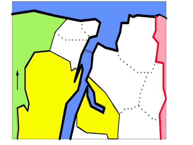
* [Don't laugh at this crude map; I drew it myself, so it's not to scale or anything] This is a map of the Minato ("port," or "harbor") area of Toyooka. It's the northernmost section of Toyooka, separated from the main section of the city by Kinosaki Town.
* The area consists of two halves, commonly referred to as Kosai (literally, "West of the Harbor"), and Koto ("East of the Harbor"), which are separated by Tsuiyama Bay and the Maruyama River (Maruyamagawa). Kosai is comprised of three villages: Tsuiyama, Seto, and Oshima. Koto, meanwhile, is comprised of four villages: Kehi, Tai, Hatakami, and Mihara.
* The two schools at which you will be teaching are Minato Junior High School (roughly where the purple dot is on the map), and Koto Elementary School (the yellow dot). Both schools are located in Kehi (pronounced more like "Kei," similar to the English "Kay"), and are very near Kehi Beach (Kehinohama).
* Students at the junior high school come from two elementary schools, Koto Elementary and Kosai Elementary. You will probably be asked to teach a one-shot lesson at Kosai Elementary (the blue diamond on the map) once in February, as a way to familiarize the sixth-year students with the ALT before they enter the junior high. It's a lot of fun.
* On the map, click on the names of the villages & towns to view photographs. Personally, I find the Minato area quite beautiful, and it's my favorite part of Toyooka, so I hope you enjoy the photos...
* You can also click on the yellow and purple dots to go directly to the pages devoted to Minato JHS and Koto Elementary... |