Climate
The territory around Panagyurishte
belongs to the transitional continental climatic area.
 The average January air temperature is minus 1.1оС,
the average July temperature is 20.6оС, and the average
annual temperature is 10.1оС. The character of the
relief and the considerable differences in the altitude above sea level
predetermine the variety in the microclimate and the landscapes and its
mountain character in the northern part of the municipality. The favourable
combination of the altitude above sea level (1050 m - the level of prevalent
low cloud) and the southern exposure of the climatic resort Panagyurski
Kolonii contributes to the ionization of the air from 1 200 to 1500 ions per
sm3 (light positive and negative ions), which has a curative
effect.
The average January air temperature is minus 1.1оС,
the average July temperature is 20.6оС, and the average
annual temperature is 10.1оС. The character of the
relief and the considerable differences in the altitude above sea level
predetermine the variety in the microclimate and the landscapes and its
mountain character in the northern part of the municipality. The favourable
combination of the altitude above sea level (1050 m - the level of prevalent
low cloud) and the southern exposure of the climatic resort Panagyurski
Kolonii contributes to the ionization of the air from 1 200 to 1500 ions per
sm3 (light positive and negative ions), which has a curative
effect.
The
percentage of calm weather cases in the Panagyurishte Hollow is unsubstantial
(67.5%), temperature inversions often occur (11-15 cases monthly) and the
precipitation is insufficient. The average annual precipitation is 653 mm and
decreases from 750 mm in the mountain part of the municipality to 550 mm in
its most southern parts, which are cultivated. The annual precipitation sums
are lower than the corresponding many-year norms in 53% of the cases. This
tendency has been especially pronounced since 1985, and is also accompanied by
increased values of the average annual temperature. This leads to an
expressive aridization of the climate in the region, which alters the
conditions for vegetation of the cultivated and the natural vegetation, and
also for the formation of the surface drainage of the waters.
The
region is strongly exposed to hails (with a probability for more than one
hailstorm per year in the period May-August) and with averagely 28 intensive
rainfalls (over 30 l/s/ha) per year.

Relief and soils
The northern part of the Panagyurishte municipality is
occupied by a ridge flattening at an altitude 1 300-1
500 m, preserved at the summits Bratia, Lisets and Bunaya. An
Old-Pliocene (Pontic) denudation evenness has formed around these summits, and
the village of Panagyuriski Kolonii and many pastures are situated upon it,
between the summits Bratia and Bounaya. The Sredna Gora slopes are not steep
to the south and gradually pass into the Thracian Lowland (the Plovdiv -
Pazarjik Field). The small Panagyurishte and Bata-Banya hollows have formed
between the mountain parts, A characteristic element in their development is
the fault tectonics, to which the mineral springs testify.
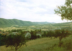
 The municipality is situated entirely upon the southern
slopes of Real Sredna Gora. The
character of the relief is from middle-mountain to low-mountain and hilly with
an average altitude above sea level 683 m. The altitude above sea level
changes from 1 500 m at the ridge parts of the mountain to the north to 500 m
to the south. The whole territory of the municipality is indented and cut
through by the valleys of the tributaries to the rivers Louda Yana and
Topolnitsa. The vertical indentation of the relief in the northern parts of
the municipality is from 100 to 400 m/km2, and the horizontal
indentation -1-2 km/km2. There are steep slopes and valleys in the
region of the canyon of the Panagyurska Louda Yana River between the town of
Panagyurishte and the village of Bata and northwest from the village of
Popintsi. The average inclines of the slopes are 20-30 є.
The municipality is situated entirely upon the southern
slopes of Real Sredna Gora. The
character of the relief is from middle-mountain to low-mountain and hilly with
an average altitude above sea level 683 m. The altitude above sea level
changes from 1 500 m at the ridge parts of the mountain to the north to 500 m
to the south. The whole territory of the municipality is indented and cut
through by the valleys of the tributaries to the rivers Louda Yana and
Topolnitsa. The vertical indentation of the relief in the northern parts of
the municipality is from 100 to 400 m/km2, and the horizontal
indentation -1-2 km/km2. There are steep slopes and valleys in the
region of the canyon of the Panagyurska Louda Yana River between the town of
Panagyurishte and the village of Bata and northwest from the village of
Popintsi. The average inclines of the slopes are 20-30 є.
The characteristics of the relief, the prevalent shallow soils, the
active anthropogenesis and the intensive precipitation in the region are a
prerequisite for the development of unfavourable erosion processes on the
municipality's territory.
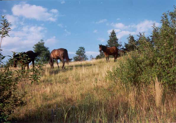
The Sredna Gora relief and the rich forest vegetation with prevailing
beech forests, combined with a favourable climate and ionization of the air,
are a serious potential for the development of tourism.
back in the top
Minerals
A
large part of the copper ore reserves in the country are concentrated on the
municipality's territory – 13 deposits, belonging to the Panagyurishte Ore
Zone, with a total amount of the reserves 380 844.5 thousand metric tons. 344
118.2 thousand tons of them are in the Assarel Deposit (by 01.01.1994). The
deposits Radka and Elshitsa are of pyrite, pyrite-copper and polymetal-copper
ores, and the deposits Medet, Assarel, etc. are of molybdenum-copper ores.
Of the natural mineral resources on the territory
of the Panagyurishte municipality, of priority importance are the formed
gold-bearing river-bed deposits.
They are connected with the paleogeomorphological development of the region
and occur in the southern, lowest part of the municipality. There are
especially favourable conditions for the accumulation of gold-bearing placer
materials along the paleo-valleys of the rivers Topolnitsa, Panagyurska Louda
Yana and the Banya-Popintsi valley extension.
The
content, distribution and the shape of the placer gold in the old and young
Quaternary sediments is found mostly in the heavy fraction. The size of the
gold grains is from 0.01 to 0.05 mm and they are usually shaped as irregular
grains, plates or flakes with a typical metal glitter and a golden-yellow
colour.
The canyon valleys of the rivers Mechenska Reka and Panagyurska Louda
Yana were a serious barrier for the transportation of gold-containing placers
from the Real Sredna Gora massif to the south.
back in the top
 City
Guide of PANAGYURISHTE
City
Guide of PANAGYURISHTE