Tour Route 8 in Pequannock
Modern pictures along the Newark Pompton
Turnpike in
Pequannock
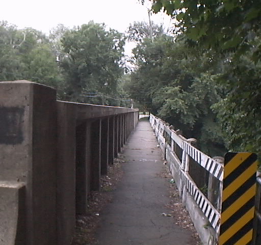
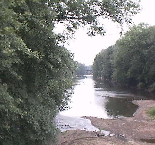
Here we see the Crossing of the Pompton River, from Wayne into Pequannock (looking east, actually). Next is the view from the same bridge, looking south, down the Pompton River, with the Bridge of the Greenwood Lake Branch of the Erie Railroad barely visible.
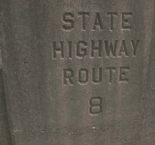
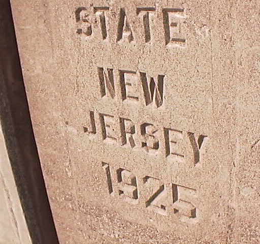
These are the markings carved into the bridge. Sorry for the way they came out. Getting a close up is not easy since this road is in constant use and there is no shoulder whatsoever on this bridge.
More pictures of Pequannock : One, Two, Three, Four, Five, Six, Seven, Eight
Information on this page came from various sources including various history books and various web sites as well as by me looking at dates on buildings and other such things. Route 8 image courtesy of Jim Williams.
I hope you learn something about State Route 8 history, Please email me if you have some pictures or historical information about New Jersey State Route 8 or the Newark-Pompton Turnpike.
.
