
EIRENNIA SCOTIA
Information on the Hibernian State ∫ A service of the Ministry of Foreign Affairs
GET INFORMATION








PHYSICAL GEOGRAPHY
Hibernia Proper
Hibernia Proper includes the large primary island of Hibernia and the two smaller Misty Isles to the north.
COASTS The northern Hibernian coast is lined with wave- cut sea cliffs and fjords, referred to as an emergent coast. It has few beaches. There are three large bays that provide safe harbors for the five northern coastal cities of Hibernia. The south western coasts, known as the Hibernian Riviera, have long white sand beaches. In some areas the coastal shelf extends a mile from the shore to create a shallow platform. The eastern and south eastern coastal landforms vary widely. A small barrier reef between Hibernia proper and Kutsallikin surrounds the eastern coast.
MOUNTAINS The Hibernian and the Ben
Morgh mountain ranges are the the only significant mountainous regions of
Hibernia. They run from the south west to the north east along the joining
of the Szeb and
Kutsallikin pla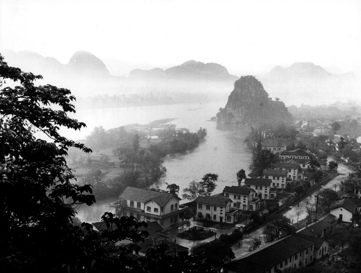 tes.
Scientists believe that Hibernia is a
surfaced peak of the sub oceanic East Szeb Ridge. The rolling
interior
hills, called Highlands, cover over forty
percent of Hibernia. The spectacular tower karst hills (see picture) of
eastern central
Cimarron are the result
of the limestone bedrock of the area.
tes.
Scientists believe that Hibernia is a
surfaced peak of the sub oceanic East Szeb Ridge. The rolling
interior
hills, called Highlands, cover over forty
percent of Hibernia. The spectacular tower karst hills (see picture) of
eastern central
Cimarron are the result
of the limestone bedrock of the area.
FLUVIAL PROCESSES (Running Water) The
Altamane river, which has headwaters deep within the interior of
Cimarron and discharges into the
Sterling Bay of St. Brienard, is the largest river in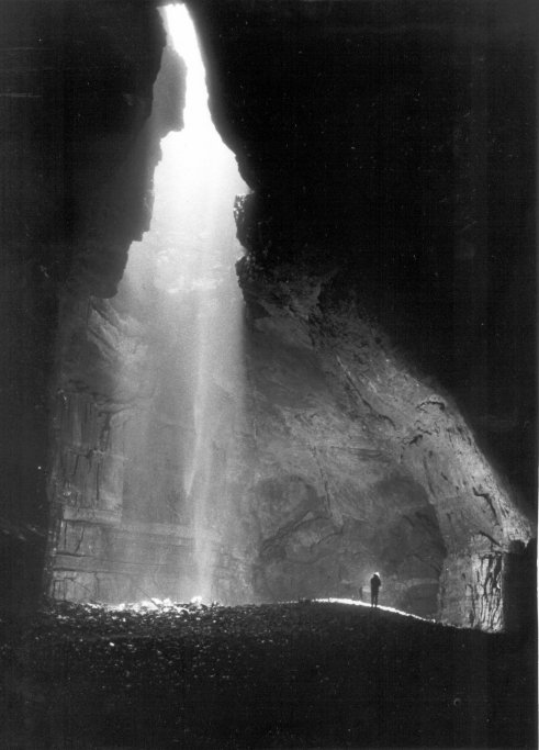 Hibernia. The Altmane river follows an annular pattern through the
interior highlands. The Shannon, Black, and Thunder rivers
are a form of radial drainage off the southern Hibernian range. Several
smaller centripetal drainage rivers exist around the northern bays.
Several underground caverns and streams exist near the limestone rich
areas of eastern central Cimarron. Large amounts of confined water exists
below the surface of
Hibernia proper. This confined water is under considerable pressure. Many
Hibernian cities are built near artesian and
subartesion wells. Hibernia has one of the largest and most productive
source of confined water in Aurora.
Hibernia. The Altmane river follows an annular pattern through the
interior highlands. The Shannon, Black, and Thunder rivers
are a form of radial drainage off the southern Hibernian range. Several
smaller centripetal drainage rivers exist around the northern bays.
Several underground caverns and streams exist near the limestone rich
areas of eastern central Cimarron. Large amounts of confined water exists
below the surface of
Hibernia proper. This confined water is under considerable pressure. Many
Hibernian cities are built near artesian and
subartesion wells. Hibernia has one of the largest and most productive
source of confined water in Aurora.
Southern Hibernian Isles
Three large inhabited islands and countless uninhabited lesser islands south of Hibernia Proper.
COASTS The coralline rock headland of the Southern Hibernian Isles produce wave-cut notches, spits, and tombolos along the coasts. Isla Muelle has many fascinating gigantic pedestal rocks on the edges of it's coasts. The eastern coasts of both Penzance and Isla Muelle are renowned for their high tidal flows and large waves. The Hibernian Reef surrounds all of the Southern Hibernian Isles.
MOUNTAINS There are no notable mountainous regions. The Southern Hibernian Isles are primarily coralline rock with the highest peak reaching only 734 feet.
FLUVIAL PROCESSES Only Penzance, Pearl and Isla Muelle have sufficient water capable of sustaining a human population. On these islands there exists minor seasonal radial drainage patterns fed by rainfall. Several cold water natural springs feed small inland ponds.
Barachan Isles
A larger equatorial island and it's chain of lesser islands north of Hibernia Proper.
COASTS The Barachan Isles are the only volcanic coasts in Hibernia. The shallow water flanks of the volcanic islands are surrounding by fringing reefs.
MOUNTAINS The Barachan isles are formed
by relatively recent volcanic activity. The largest isle, Isla Barachania,
was formed by two volcanoes (1302 and 2463ft) and is often called the
Valley Island because of the many canyons that cut into the two mountains.
A low is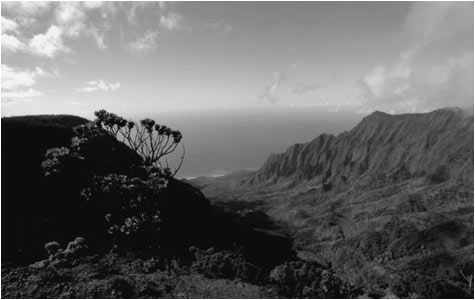 thmus
passes between the two mountains creating a fertile area for growing sugar
cane.
thmus
passes between the two mountains creating a fertile area for growing sugar
cane.
FLUVIAL PROCESSES Only the main Barachan isle has sufficient water to support human habitation. On Isla Barachania, there exist substantial radial drainage that produce spectacular waterfalls.
The State of Independence