| An Exploration of the Role of Seismic Reflection Imaging in Earthquake Risk Assessment |
| Introduction One of the most frightening and destructive phenomena of nature is a severe earthquake and its far reaching effects. An earthquake is a sudden movement of the Earth, caused by the abrupt release of strain that has accumulated over a long time. For many years, the forces of plate tectonics have shaped the Earth as the huge plates that form the Earth's surface slowly move over, under, and past each other. Sometimes the movement is gradual. At other times, the plates are locked together, unable to release the accumulating energy. When the accumulated energy grows strong enough, the plates break free. If the earthquake occurs in a populated area, it may cause many deaths and injuries and extensive property damage. With technological advances scientists are challenging the assumption that earthquakes must present an uncontrollable and unpredictable hazard to life and property. They have begun to estimate the locations and likelihoods of future damaging earthquakes. Sites of greatest hazard are being identified, and definite progress is being made in earthquake risk assessment. One of the methods of risk assessment is Seismic Reflection Imaging (Watson and Watson, 1997). |
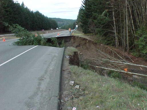 |
| Damage from an earthquake measuring 6.8 in magnitude. This earthquake struck Washington State February 28, 2001 More pictures Source: Washington State Department of Transportation |
| Site Contents |
| Submitted by Joel van Popta 9902444 November 29, 2002 Website constructed in partial fulfillment of the Applied Geophysics course at Mcmaster University |
| Course info |