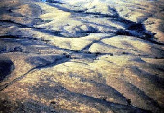
Located in southwestern Oklahoma, the Meers fault marks the southernmost boundary of the Frontal Fault System, separating the Wichita uplift and the Anadarko basin. Similar to the Santa Monica Fault, the Meers fault was thought to be inactive prior to the study.
Methods/Processing
At this time high-resolution seismic reflection had only been recently introduced as a method for shallow fault delineation. The Kansas Geological Survey obtained the data for this survey in mid-December, 1986. A modified .50 caliber rifle was used as the energy source (rifle was mounted on a steel plate and the barrel was lowered 60 cm down a 4 cm diameter hole). Waves were recorded by geophones set at 1.2 m spacing with 2 100 Hz geophones at each station, providing 12-fold coverage every 60 cm into the sub-surface.
Data processing included elevation corrections, muting, editing, CDP sorting, velocity analysis, surface-consistent statics, frequency spectral analysis, frequency filtering and CDP stacking.
Results
Three main records were taken - upthrown side, downthrown side and directly over the scarp. All three
(source: Stewart, 2001)
The processed and stacked 12-fold CDP seismic section also showed the major faulting zone in the subsurface. In addition to the major faulting, which produced the scarp, there is secondary faulting on either side causing minor folding and faulting deformation. None of these faults, however, are visible at the surface.
Conclusions
The presence of faulting on both sides of the major fault suggests that the entire Meers fault zone extends at least 180 m in both directions. Recent deformation, however, has only occurred along the localized fault zone associated with the fault. Future research will combine detailed stratigraphic information with the shallow-seismic technique to get a clearer picture of subsurface.