|
__________________________________________
County Commission in its wisdom directs County Engineer to Architects for site planning and coordination in the process of building roads and bridges beginning with the KYMAK architectural concept of orderly and systematic comprehensive regional planning and development; approval is expressed by County Treasurer by way of budgeting and assessing. In the interest of public health, welfare and safety, Commissioners must not assume the role of the Architect as master builder, particularly in the matter of site selection; however they should freely consult with KYMAK provided Architects throughout the building process; the Commissions statutory power to "direct the County Engineer" does not allow misuse or abuse. This enterprise will be financed at no cost to the County via a KYMAK/AIA Business Trust pending acceptance by the County Commission agreeing to act in full accord with State and Federal Planning Codes.
A comprehensive regional master plan is required for public funding of new development. However, maintenance and repair of existing infrastructure is reasonable where useful or desirable - but public funding of new development is unlawful except as a part of a comprehensive regional master plan. The KYMAK concept fulfills the law for the first time in history as YHWH provides. Populations within each 12 mile square can consolidate services to form a Municipal unit or County Annex. Maps of any kind or at any scale may be used with drawings of the Mo del City and its various subdivisions on transparent overlays of the whole or any part of the Comprehensive Regional Master Plan. These transparencies can be made using clear plastic film manually or for those who can afford it using computer generated GIS programs. The GIS (geographical information system) is state of the art and much easier, faster and can have greater accuracy and precision. This information can be made available to planners and developers wherever and whenever they desire. Most KYMAK drawings are given on the Summary page. Dem onration projects may proceed in the County in any one or all Districts as the Commissioners desire. Full implementation would be greatly facilitated by adoption by the Regional Planning Commission as provided by law. Compare Alabama Code Section 11-85-4 and Section 11-85-6
__________________________________________
DEMONSTRATION PROJECTS: Mobile Region (1) Overall the best place to start would be anywhere Developers so please within KYMAK guidelines (Re: POB, note last two items, this page). This could be in the Broadacre City zone in the Chickasaw area or along the I-10 bypass from the mouth of Dog River to Park City on the eastern shore of Mobile Bay or along the Interstate Trunkline in the major zone of development which is indicated by an orange line on the drawings. The Mobile Region would have this trunk line with the Broadacre City pattern in north Mobile County District 1 and 2 connecting Wilmer to the river and tying all transportation routes between together. Rapid development is now taking place in this area along the river and U.S. Highway 43 but without an orderly and systematic plan as required by law. An elegant plan is provided by KYMAK. Mobile Bay and other water areas could be excavated all the way to bedrock, but no infill should ever be allowed. Architects can design water cities that float or stand on piers; open space in the Model City provided by KYMAK is adequate for large ships to park and drop anchor. __________________________________________
(2) In County District 3 State and Regional transportation authorities have designated an Interstate Highway 10 bypass crossing the Bay from Hollinger's Island near the mouth of Dog river to connect with I-10 on the Eastern Shore near Park City. This is determined by the southern unit line designated by KYMAK for the City of Mobile. A tunnel is recommended under the ship channel; due to air traffic a 375' high clearance bridge is not feasible. A tunnel would be easier and cost less to build. This would bring the Bay into the city limits of Mobile. __________________________________________
(3) An alternate route that would relieve congestion in the Wallace Tunnel and on the I-10 Bay-way, within an orderly and systematic plan as provided by KYMAK, is along the east perimeter of the 12 mile square enclosing Mobile; this connects Daphne to Saraland and could link across a couple of miles to Bay Bridge Road. A portion of about 10 or 12 miles would extend the City limits of Mobile to that area; this route would also provide improved emergency evacuation to the north from the eastern shore as a part of the orderly and systematic plan by KYMAK. YHWH provides __________________________________________
(4) Scattered development following KYMAK guidelines will be a part of an orderly and systematic plan, "made with the general purpose of guiding and accomplishing a coordinated, adjusted and harmonious development of the municipality and its environs which will, in accordance with present and future needs, best promote health, safety, morals, order, convenience, prosperity and general welfare as well as efficiency and economy in the process of development, including, among other things, adequate provision for traffic, the promotion of safety from fire and other dangers, adequate provision for light and air, the promotion of the healthful and convenient distribution of population, the promotion of good civic design and arrangement, wise and efficient expenditure of public funds and the adequate provision of public utilities and other public requirements." as required by law Section 11-52-9. Public funding and maintenance to be allowed on private roads that follow KYMAK guidelines; new roads that ignore KYMAK guidelines are not legally qualified for public funding or maintenance whether public or private.
__________________________________________
(5) A new Urban Core could be developed around Kushla (Unit Center: S' 672 x 5 20/21 E'). Surrounding independent Municipalities within the 12 mile square could consolidate services at the Core. __________________________________________
(6) Parkway 20 miles from intersection of CR5 strait to Bayou La Batre: shorter. faster, safer, 502 6/7 feet R/W. (on Municipal Unit line; also see: Model City) __________________________________________
Other Municipal Centers: Mobile Region (verify coordinates) Mobile N 30.6644917083 x 88.0616235236 W West Mobile N 30.5792663585 x 88.234583107 W South Mobile N 30.4279899864 x 88.1348853 W North Chunchula / Hwy 45 N 30.9670861440 x 88.26145563 W Ms State line / Hwy 98 N 30.8815754013 x 88.43477866 W Creola / I-65 N 30.9009072703 x 87.9879203824 W North Grand Bay / Jackson Creek N 30.4937527023 x 88.4071116312 W MS Sound (water city) N 30.3426180437 x 88.3072573258 W North Fort Morgan (water city) N 30.2766333178 x 88.0355401639 W West Fairhope (water city) N 30.5130737921 x 87.9621739008 W Tanner Williams 30.73046173 x 88.33450188 __________________________________________
TOWNSHIPS The four quarters of each Municipal Unit: The Township Core * follows a ten-acre block gridiron pattern with 132 ft.-wide streets and half-acre lots; this one mile square is divided by seven each way. It would be at the center of a six-mile square subdivision of the Model City and accommodates a population of 25,000. Surrounding land is for farming and manufacturing industries. 1) Calvert/TK Township Core (a River Front Development) 2) Chickasaw--Saraland Township Core (Centered about 1/2 mile east of I-65 and about 500 feet south of Hwy 158) __________________________________________
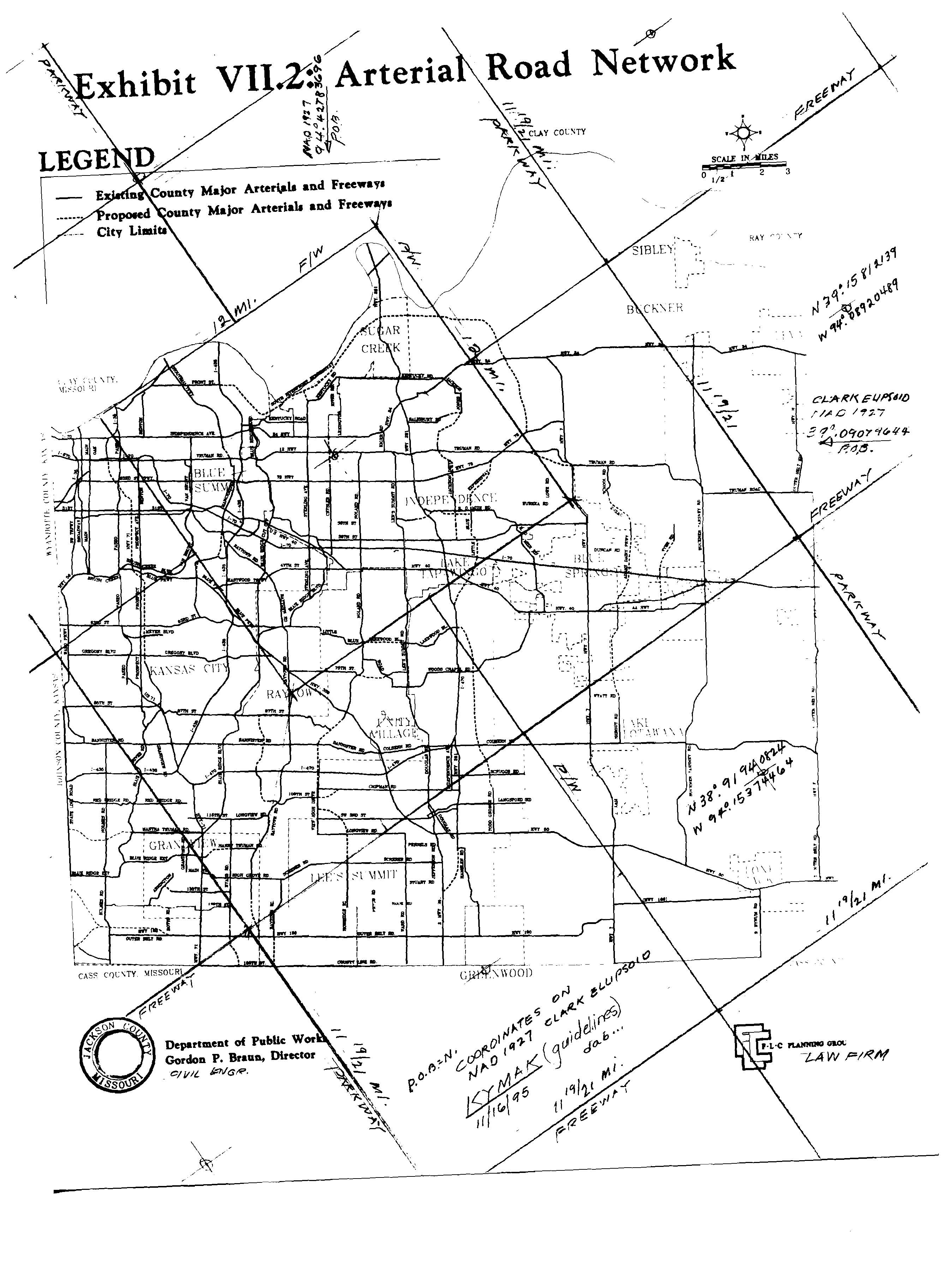
NEW DISTRICT OF COLUMBIA: In Independence, Missouri in Jackson County at the point of beginning (POB) within The New District of Columbia is a historic site which was marked in 1831 to be The New US Capitol Building. It is in the form of a 300' diameter sphere half above ground enclosed in a 500' diameter spherical multi-story building 450' above ground and it will seat well over 12,000. A New White House for the President (which, according to lore, must be built first) in the form of a 55' x 65' (i.s.) rectangular multi-story building (70,000 square feet or more) is on another lot across the street from the POB on the designated centerline and centered 528' (1/10 of one mile) west-southwestward. The two marker stones placed in 1831 as directed by an Angel indicate that the Holy of Holies - a 15 foot cubical wooden box overlaid with gold - is to be located as shown in the drawing upon a 50 foot square glass platform; this may be built first. __________________________________________
More projects Continue __________________________________________
|