Calatele township has a lengthened geographical development to the Calata valley, bordered on south by Belis township, on west by Margau township, on north by Sancrai township and on east by Manastireni and Rasca townships. The area of the township is extended to the contact surface between Huedin-Calatele depression and the fabulous area of the Apuseni mountains.
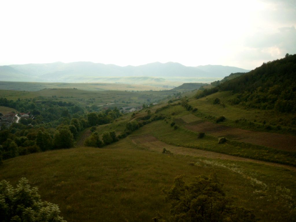
A large part of the township is situated in the montane scenery of Gilaului-Muntele Mare mountains, that belong to the Apuseni group, mountains formed of a huge granite dome with outlying tapes of crystalline schists with a metamorphism that gets weaker and weaker to the exterior. To the north, the township lies on the intramontane depression Huedin-Calatele, formed of a pretty vague relief, tamed hills, divided by large valleys, with water meadows.
The geological structure of the township is varied and it is not lacking in mineral wealth. There are peat deposits around Calatele village. Old documents from the 15th century confirm the presence of gold mines all over the area of Valeni village.
The clime is typical for the west and north-west regions of Romania, part of the moderate continental climate sector. In the winter predominates the polar maritime or arctic maritime climatic invasions from north-west, and in summer the warm air from south-west, part of the north-mediterranean cyclonic motion.