Way
1
Home |Welcome | Arrival | Logroño | Way1 | Way2 | History | Legends | Routes |

|
On crossing the door
of the Revellín, the route continues by more
modern streets, Murrieta and Burgos avenues , and crosses
the Park of San Miguel. Here the city of Logroño
finishes.
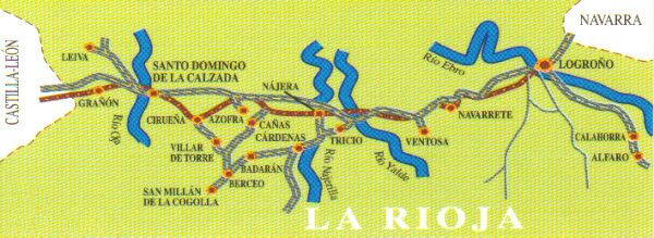
The path is signposted with a signal
 or by painted yellow arrows in
or by painted yellow arrows in  
the ground, stones or the trees.
|
|
From here the Way goes west in direction to Santiago de
Compostela, runs among fields (vineyards, cereals and
orchards) and with slight slopes because we went towards
the High Rioja. In some sections it coincides with state
highway 120.
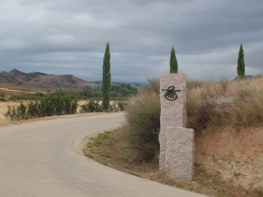
The park of La Grajera, located
to about 5 km, space of landscaping and ecological interest
and suitable place to rest in summer, is in our route
before arriving at Navarrete.
|
|
|
Navarrete is located in the south slope of the Tedeón mount,
from whose top a beautiful landscape is contemplated. Account
with 2,000 inhabitants. There are numerous industries potters
and also wine cellars.
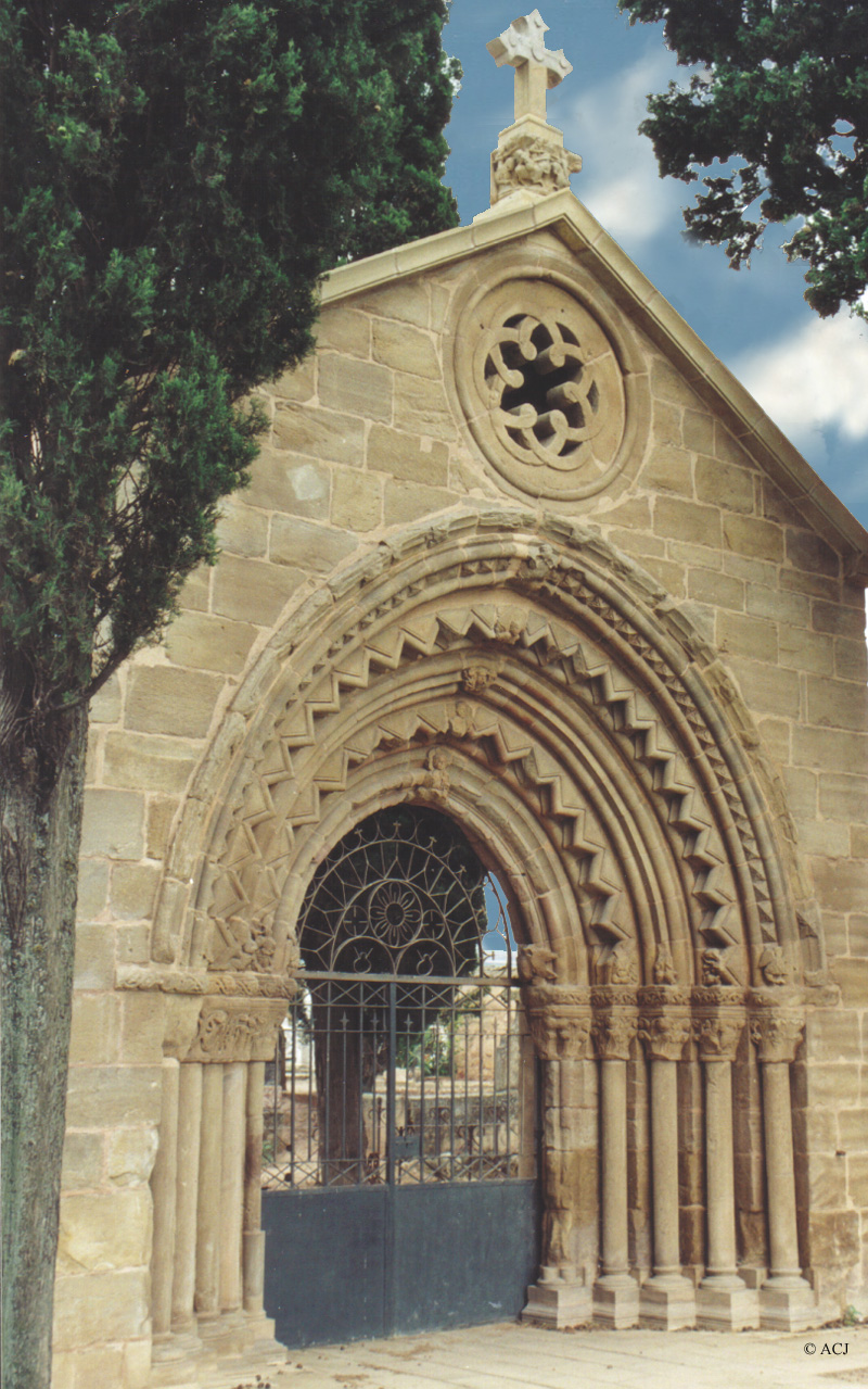
The Way crosses the center of the
town. The shelter is near the church of Asunción
and the city council. When leaving the town it emphasizes
the door of the cemetery, of Romanesque style, that belonged
to the monastery of San Juan de Acre, located in the proximities.
|
|
We go towards Nájera,
on the left are Sotés and Ventosa, when arriving
at the Hill of San Antón we can descry to the locality
and the mount San Lorenzo, highest of the Rioja.
Shortly before arriving, in Tricio,
the Basilica of Santa Maria of the Arcs can be visited,
seated in enormous Roman columns, dates from century 5th.
In the ground there are paleochristian and visigothic tombs
and in the walls romanesque paintings of century 12th.
|
|
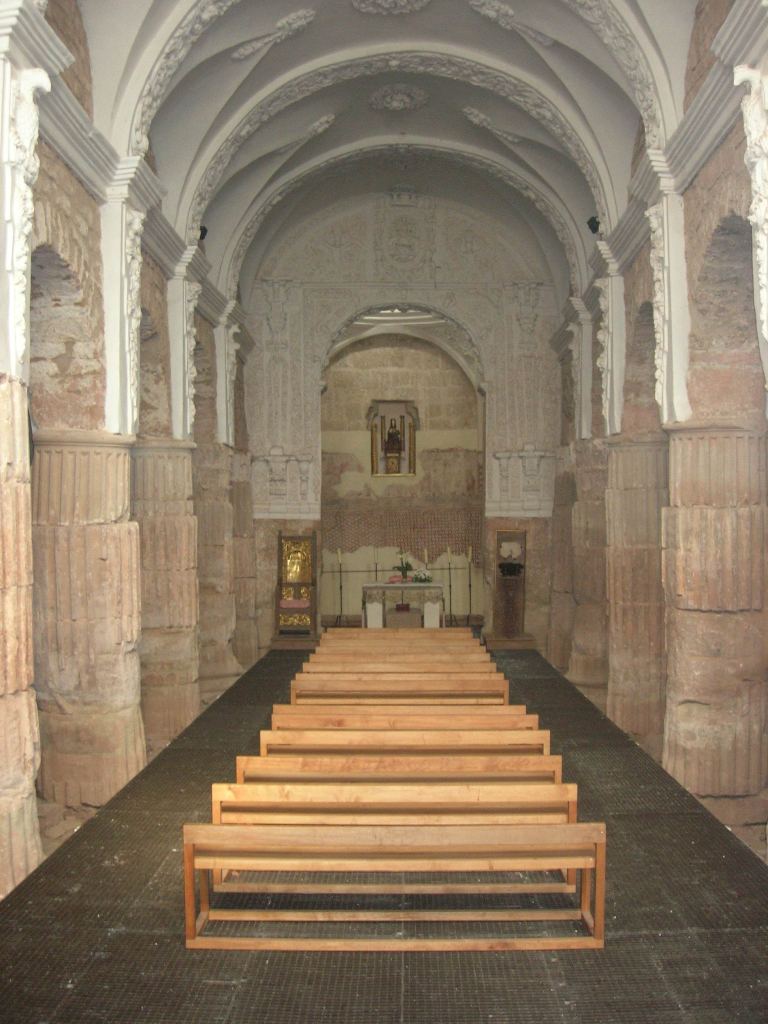
Najera,
located to borders of the Najerilla river, is one of the
most important populations of the Rioja. It has about
7,500 inhabitants. The industry of the furniture is its
main occupation. It was capital of the kingdom of Nájera-Pamplona
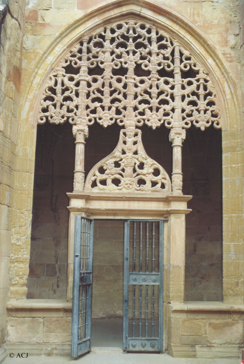
between years 918 and 1076. There are many monuments but
one emphasizes the monastery of Santa Maria la Real, constructed
by order of the king Don Garcia Sanchez III. In the interior
they emphasize the Real Pantheon, lodges twelve real graves,
among them the one of Doña Blanca of Navarre, the
Saint Cave and the Cloister of the Knights.
On coming out of
Najera, two routes can be followed: one goes to
San Millan of the Cogolla. and the other shorter
route takes to Azofra.
|
Azofra located to 4 km of Nájera, is a population that
is been united to the Jacobus route.On coming out of
the town it is the Source of the Romeros (Pilgrims)
and after we will see the Roll of Azofra.
Cirueña:
in this town, of 120 inhabitants, routes of the Way
are united both.Before arriving we will pass by the
meadow of Cirueña that conserves an old forest
of great oaks . |
|
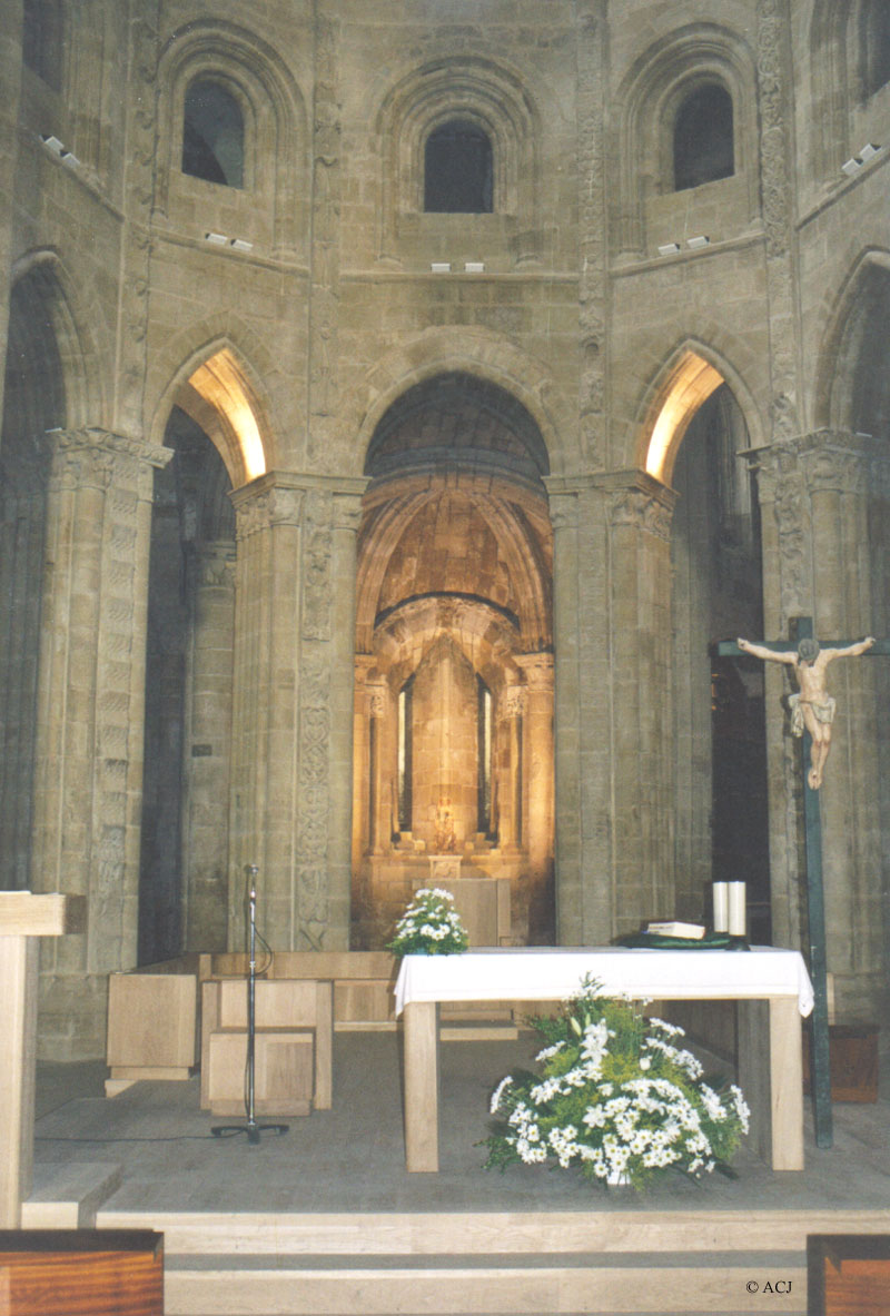
Santo Domingo de la Calzada is located in an elevated plain to borders of the river
Oja. It has about 5,800 inhabitants. The main activity is
agriculture. It was founded by Santo Domingo, who constructed
a bridge, one shelter and a hospital, actually Tourism Inn,
to help to the travelling ones in their trip. King Alfonso
VI donated lands, towards year 1098, to construct the cathedral
and around it and to the Way the population grew. In the
cathedral it emphasizes the greater altar, Romanesque, covered
until a few years ago by a magnificent plateresco altarpiece
of Damián Forment placed in a lateral one, a mausoleum
dedicated to Saint Domingo and the cock and the hen in their
cage. The tower, of baroque style, is separated of the church.
The old shelter is in the house of
Santo, managed by a brotherhood that was born in century
12th.
|
Grañón is the last locality of the Riojan earth Way, to 47 km
of Logroño. It is a small population, with a main
street that crosses the town. We can visit the church
of San Juan Baptist and the hermitage of Virgin of Carrasquedo.
From here the Way continues in Burgos land. |
|