Solent Landmarks Fort Gilkicker History
| Some
Facts and
Some Dits
Name confusion. In the Tudor Times the Point of land to the East was known as Hailsworth point. Gilkicker landmark was built here and it gained the name of Gilkicker point. But, the building of an embankment separating a lake from the sea caused the "point" no longer to be a "point". The name Gilkicker point in time became transferred to the next point along the coast. And when the fort was built in the 18th Century it was given the name of Fort Gilkicker. .....simple really! |
|
||
|
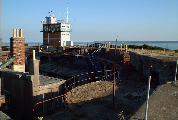
A hidden fort |
The building was constructed in a semi circular shape with its main guns housed in granite casements protected by cast iron shields. When the heavy guns were added to the roof in 1900 the weight was said to have cracked the walls. The huge earth bank was therefore pilled up against the wall to stop it collapsing. Now only the ends of it exposed at the rear and the bank seen from the sea covers the original stonework. | ||
| Self destruction! | The original earth built battery also suffered from a desire not to remain standing. In 1856 it was reported that the parapets had started to tumble down on their own accord and that firing of the guns would probably collapse the structure onto its own guns! | ||
| Things may Change | Proposals have been made by Hampshire Council and Phoenix trust to develop the fort for housing and give public access. If successful a museum will be included and access to the roof made possible. To the excellent Fort Gilkicker web site for information on the plans. |