 |
|
|
|
|
|
|
|
|
|
|
|
|
|
|
|
|
Walk/Run the Bingley Parish Boundary |
|
|
 |
|
|
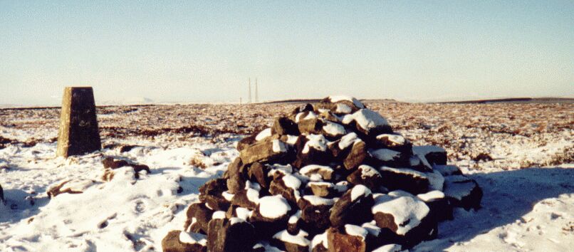
| A parish perambulation, an annual walk/ride to affirm the boundaries of the parish (beating the bounds) was a historic feature of many communities. The Bingley version was evidently a popular affair during the eighteenth century. Bingley historian, Speight mentions a parish grant of ten shillings made in 1704 for the annual occasion and writes of one Thomas Hudson, who preceded his son Dick, as landlord of the Fleece Inn, providing a cart load of ale, cheese and bread. It must have been thirsty work as the old parish of Bingley was surprisingly extensive. The full route would have been about 30 miles but the Bingley locals seem to have taken an abbreviated route with pub stops. According to Eldwick historian, Mirfield, they began at the King's Head Bingley and took in the Fleece (Dick Hudson's), Hawksworth Springs, The Gaping Goose (Intake Gate), and Rombalds Moor. |
|
|
|
The Old Parish Boundary |
|
|
| The boundary goes from Nab Wood� down to the river by Hirst Wood and follows the Aire to its junction with Loadpit Beck. It moves along the beck up to the junction with Glovershaw Beck and then heads towards Golcar. At Golcar it goes east all the way to Gill Beck near Hawksworth Spring.� It traces this beck to its source at Horncliffe Well and then follows the wall all the way to West Buck Stones. From here it moves southwest over Rivock Edge down to Clough Beck and the River Aire. It follows the river to just beyond East Riddlesden Hall, crosses the valley floor by the Marley sports fields, and journeys past the gas works, up the brow and over to Harden Moor. It then goes down through Woodhouse to the River Worth. It traces the River Worth past Ingrow station to just below Haworth Station and heads up Haworth Brow. It then goes over Cullingworth Moor towards Manywells Beck. It skirts Cullingworth to join up with Harden Beck by way of Goit Stock. Continuing past the Malt Shovel it follows the beck to near Harden Grange and then goes up through Ruin Bank Wood. Onwards past March Cote, it moves across Cottingley Moor and then down to Nab Wood. |
|
|
| The route follows the parish boundary as closely or sensibly as possible anti-clockwise on available public rights of way. It's approximately 30 miles in length and it could be done in a day (6 hr run/12 hr walk) but it's divided into three sections of approximately 10 miles: a)Nab Wood to Keighley Gate; b) Keighley Gate to Barcroft c) Barcroft to Nab Wood. It begins at the footpath which skirtsround Nab Wood Schooland its sports centre. |
|
|
|
Barcroft to Nab Wood |
|
|
Keighley Gate to Barcroft |
|
|
|
Nab wood to Keighley Gate |
|
|
|
|
|
|
|
|