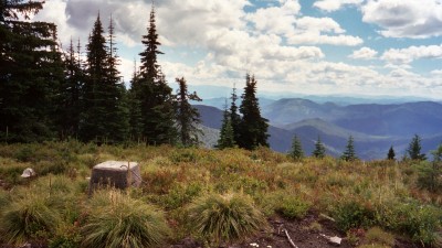
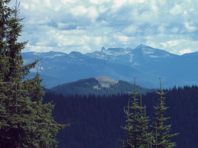
Little Grass Mountain
The portion of Road 1014 that is accessible by motorized vehicle runs from Road 1341 to Road 1015. Access to these roads is restricted from 1 April to 1 July and from 10 September to 15 November. The portion of Road 1014 that is not accessible by motorized vehicle runs from Road 1015 to its junction with Trail 266.
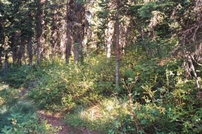
One way to access Trail 265 is via Trail 266 from Road 302 at its junction with the turnoff to the Stagger Inn Campground and the Granite Falls Trail. This requires one to hike about 4.5 miles from Road 302 on Trail 266 before reaching Trail 265. Trail 266 is quite steep in places. It took me about 4 hours to hike from Road 302 to the beginning of Trail 265 on Trail 266.
Another way to access Trail 265 is to take Road 1341 during an unrestricted period to Road 1014 and then continue on Road 1014 to its junction with Road 1015. There is plenty of room to camp and park near this junction. One can then hike on the non-motorized portion of Road 1014 to Trail 266 and then proceed on Trail 266 to its junction with Trail 265. This approach is not as difficult a hike as the one from the Stagger Inn. It took me 1 hour and 40 minutes to hike from the junction of Road 1014 and 1015 to Trail 266 and an additional 1.5 minutes on Trail 266 to the beginning of Trail 265.
Road 1341 can be accessed from the Plowboy Mountain Trailhead just north of the Beaver Creek Campground. Refer to Trail 295, Plowboy Mountain Trail, for driving directions. Road 1341 can also be accessed from Road 638. Road 638 joins Road 302 about 3 miles from the end of Highway 57 (mile marker 37).