 |
 |
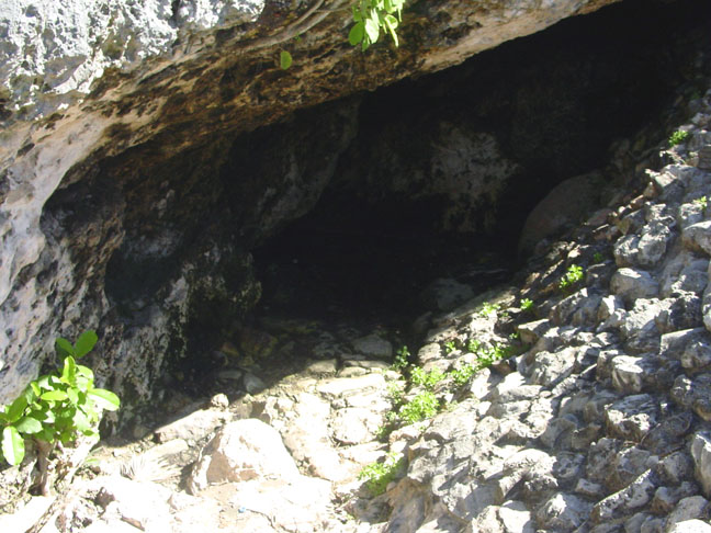
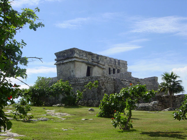
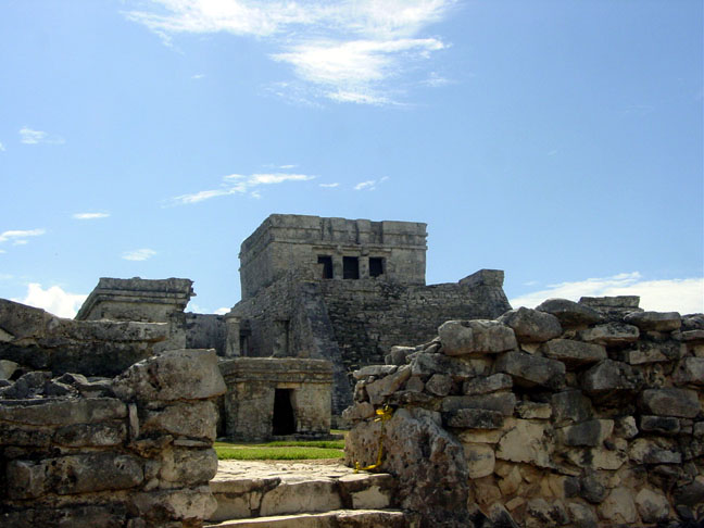
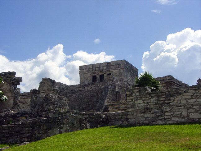
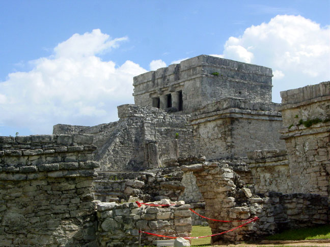
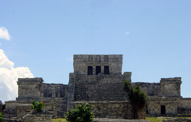
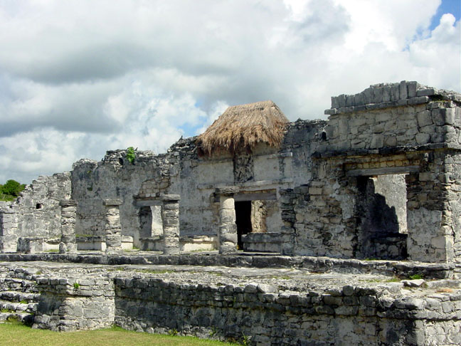
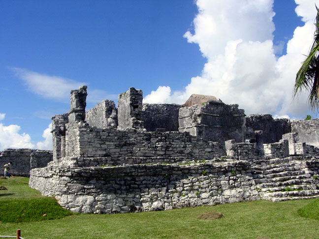
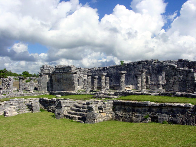
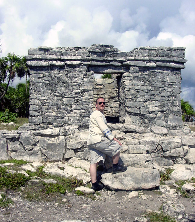
| Welcome to my Tulum and Cozumel page. Unlike most sites that I have visited, this site is a walking tour of the Tulum Ruins. That means that we took about 500 pictures while we visited this amazing site, but only the best quality were applied. Most webpages that deal with the Tulum Ruins are tour guide information sites. This page is not a tourism and travel page like 99% of the other pages out there. This page is a learning tool for any archaelogy or anthropology student. If you are a student in either field, please feel free to take any of the images for your personal use. I, as a past anthropology student, realize that most of the sites we find dealing with Tulum on the internet are just useless. This here is a way for me to give something back to my peers in my field. This site is a MUST SEE for any archaelogy or anthropology student. It's simply stunning. Its right on the coast, so please take a towel and a swim suit if and when you go. The water is warm and crystal blue. The background on this back is actualyl a photo we took off of the cliffs that houses the ruins. I recommend that you bring at least a SPF 30 sunblock with you as well, as we found out an hour without is a burn no one should have to deal with. I am sure that if you surf the net you'll find other sites, but I hope you enjoy this one. Ciao. |
| <==EXIT |
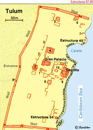
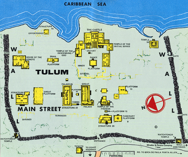
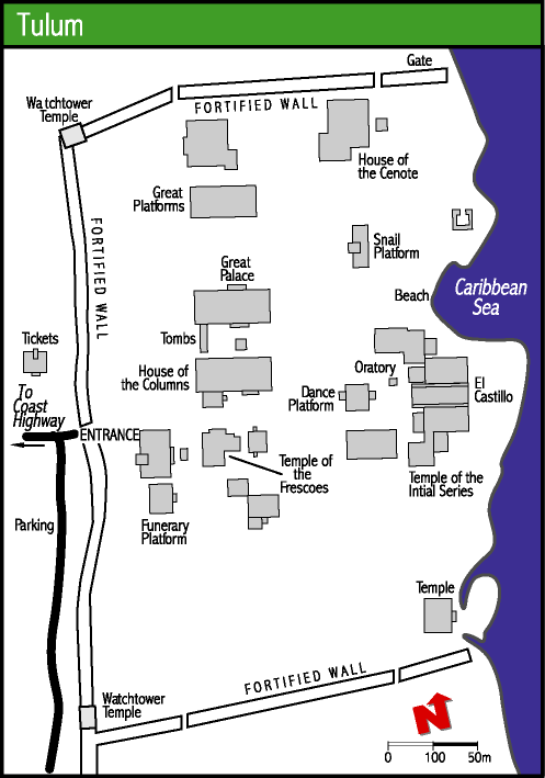
| I did this site a little bit differently than my Altun Ha webpage. In that page I gave structure identification and direction we were as we took the photo. On this page I am going to put numbers on the top map of where we were when we took the pic. I like trying new methodologies when creating webpages, and I hope that this endeavor won't be a scrolling mess for everyone. If I find that people are frustrated and complain about the constant scrolling, I will change it. Also unlike the Altun Ha page I created, I am going to use smaller pictures. Don't fear, by clicking on the thumbnails you can see the complete photo in its actual size we took it in. Some of the photos are HUGE and may take a few minutes to load up, please be patient. I decided to use three maps on this webpage to give all who view it a better sense of the size and positions of the various structures. The top map (MAP #1) is the map I will be using as my walking tour map. The other 2 maps (MAP #2 and MAP #3) are there to define clarity and size of Tulum. Enter at the gate marked ENTER THE RUINS HERE and come with us on a journey into one of the most amazing and beautiful Mayan sites discovered. If you click the numbers on the top map you will be taken to the pictures as well. Enjoy!!! |
 |
 |
| MAP #1 |
| MAP #2 |
| MAP #3 |
| Enter the ruins here ==> |
 |
 |
 |
 |
 |
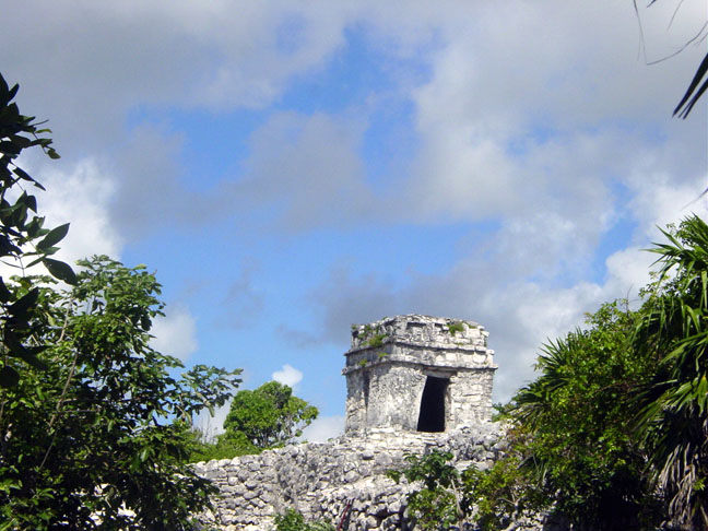 |
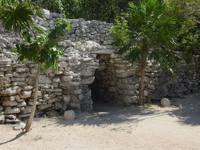
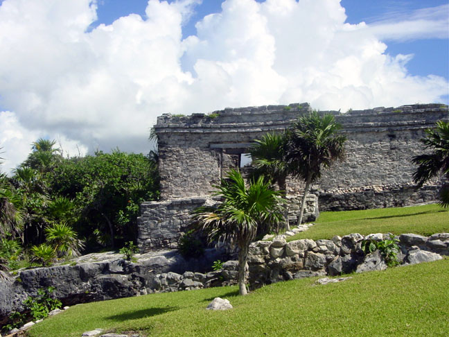
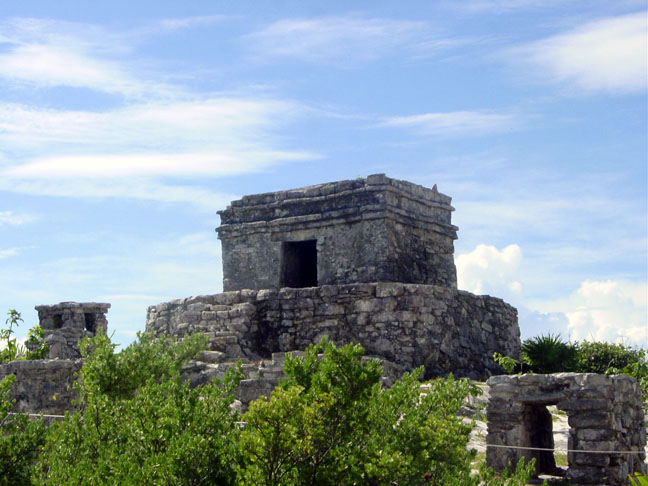
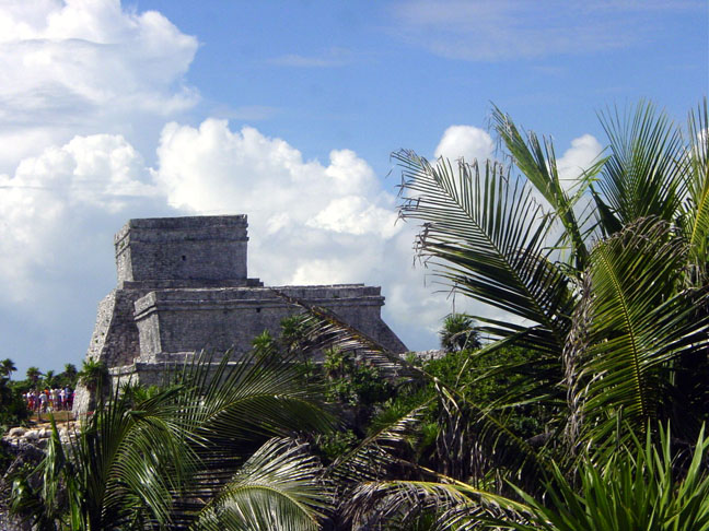
| Structure 34 |
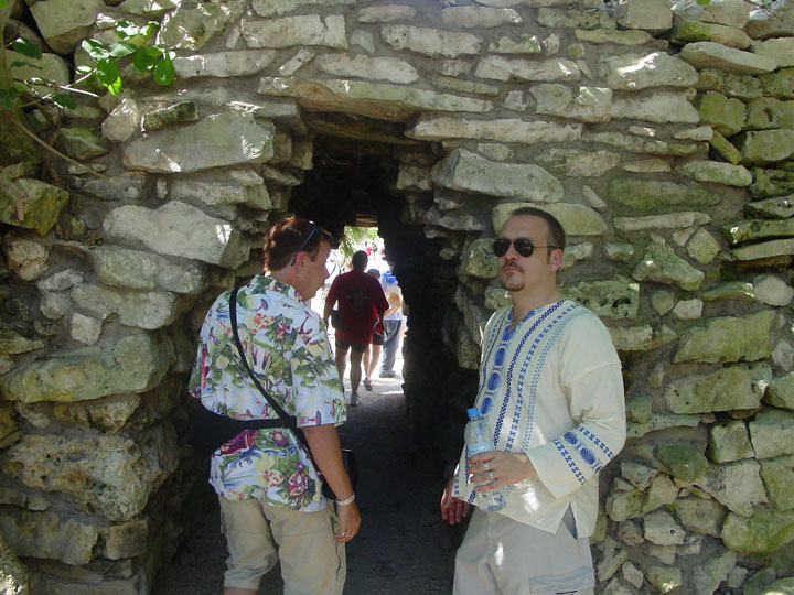
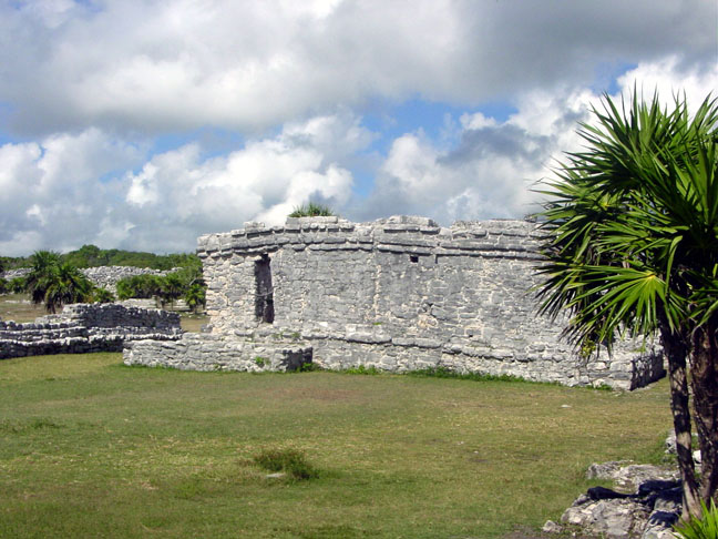
| Structure 45 |
| EXIT |
 |
 |
 |
 |
 |
| AREA UNDER CONSTRUCTION |
 |
 |
 |
 |
 |
 |
 |
 |
 |
 |
 |