3 Day, 24 Mile Hike over Presidential Range
25-27 Aug 2003
| White Mountain Hike 3 Day, 24 Mile Hike over Presidential Range 25-27 Aug 2003 |
||||||||||||||||||||||||||||||||
| Click on any photo to enlarge | ||||||||||||||||||||||||||||||||
|
||||||||||||||||||||||||||||||||
|
||||||||||||||||||||||||||||||||
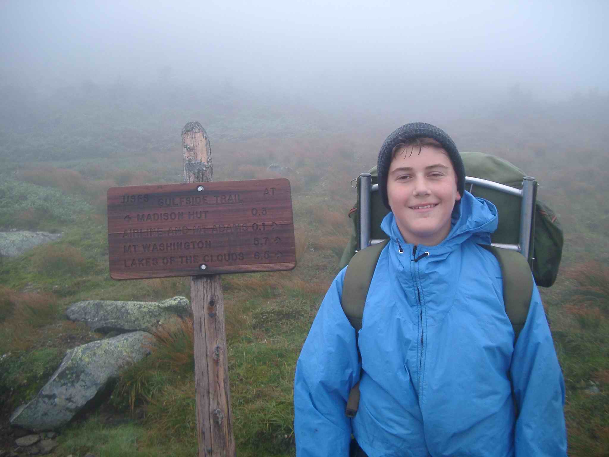
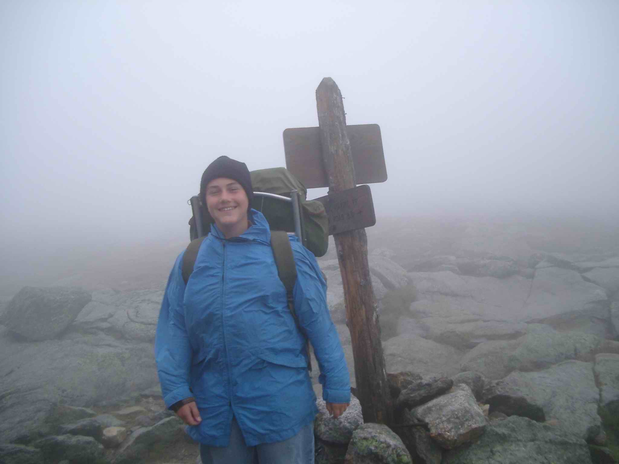
| Day 2 - Madison to Monroe - Misty and overcast but at least it had stopped raining | ||||||||||||||||||||||||||||||||
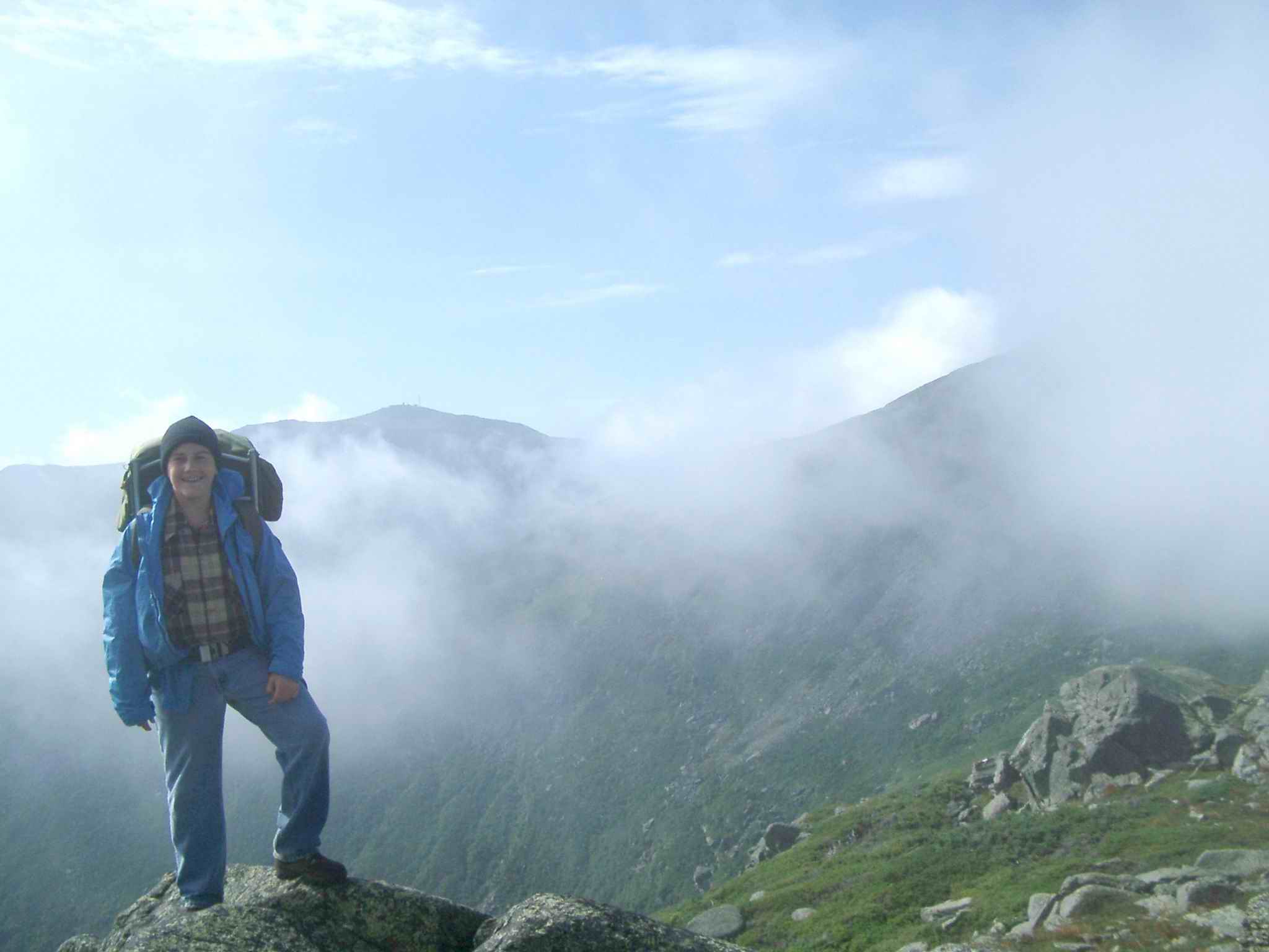
| Edmands Col (Wind tunnel between Mt Adams and Jefferson). Clouds clearing with Mt Washington in background and Mt Jefferson at right) | ||||||||||||||||||||||||||||||||
|
||||||||||||||||||||||||||||||||
|
||||||||||||||||||||||||||||||||
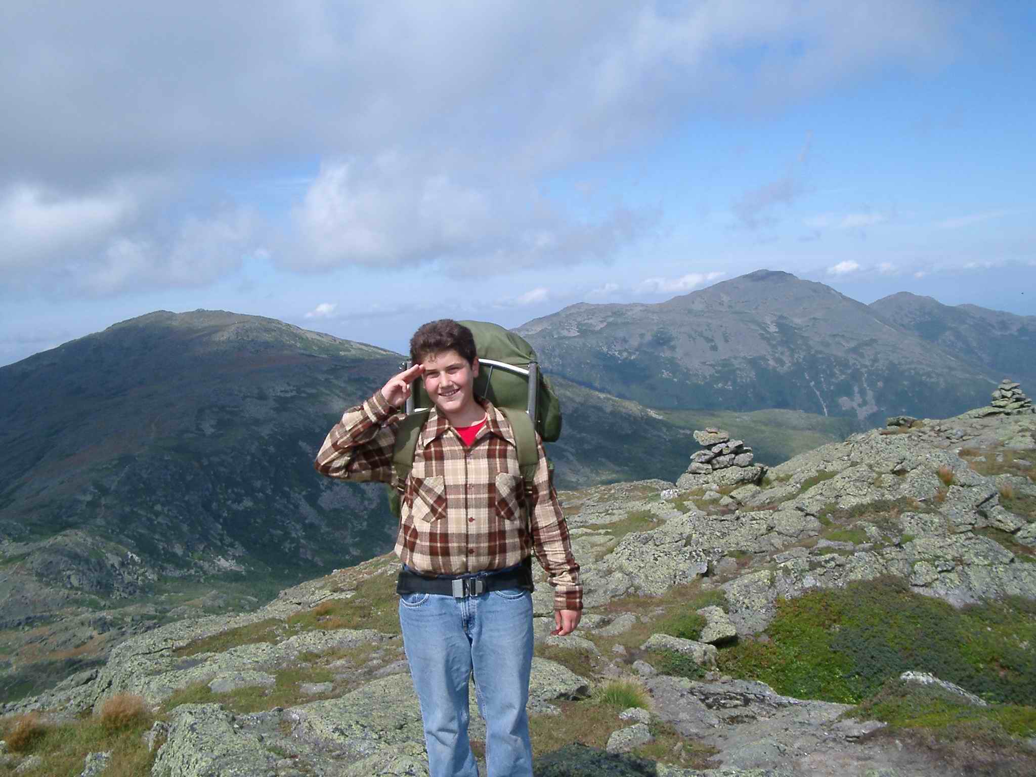
| Mt Jefferson with Adams and Madison in background | ||||||||||||||||||||||||||||||||
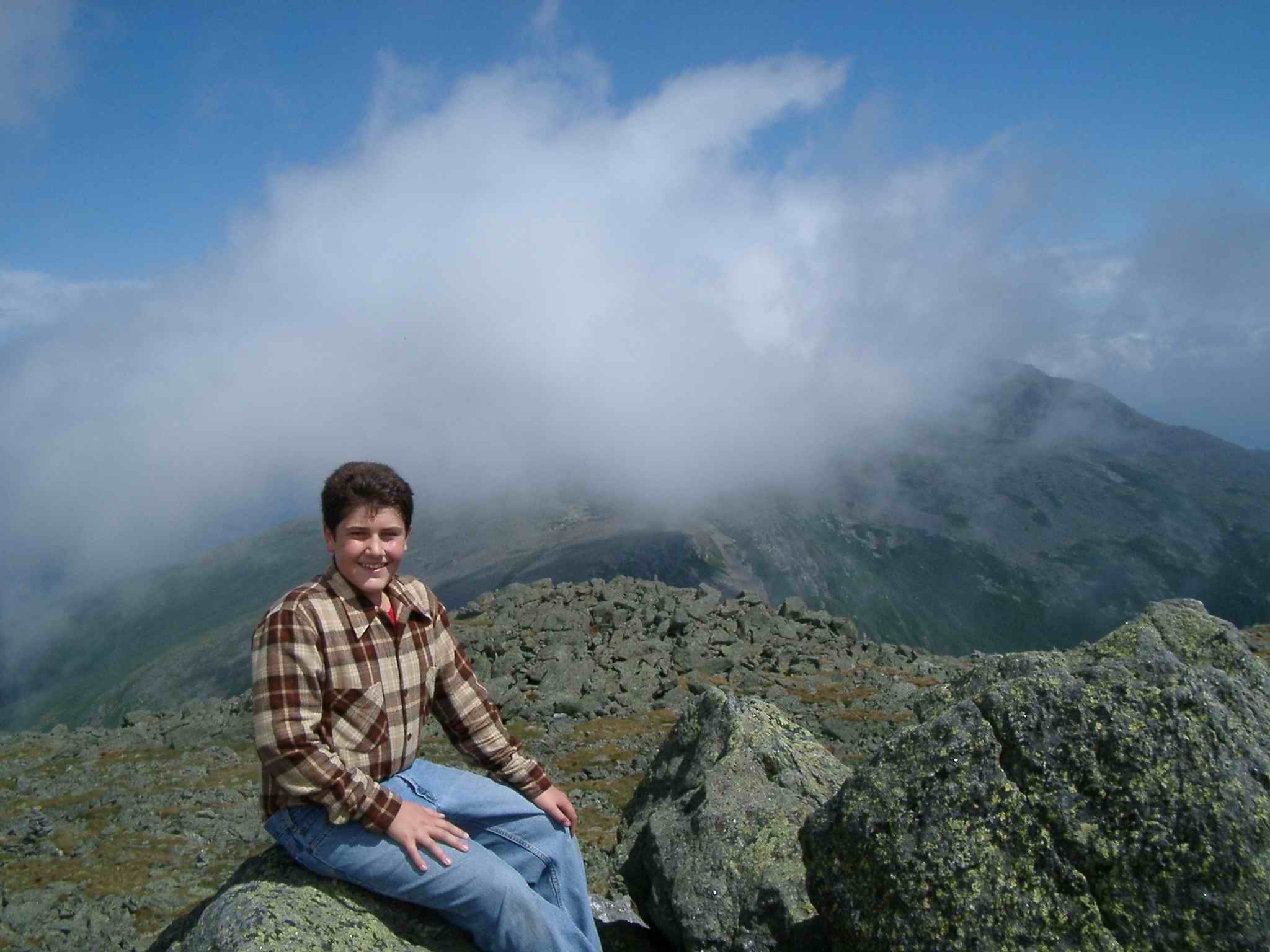
| Mt Clay with Jefferson in background with Adams at right and Madison at far right | ||||||||||||||||||||||||||||||||
|
||||||||||||||||||||||||||||||||
|
||||||||||||||||||||||||||||||||
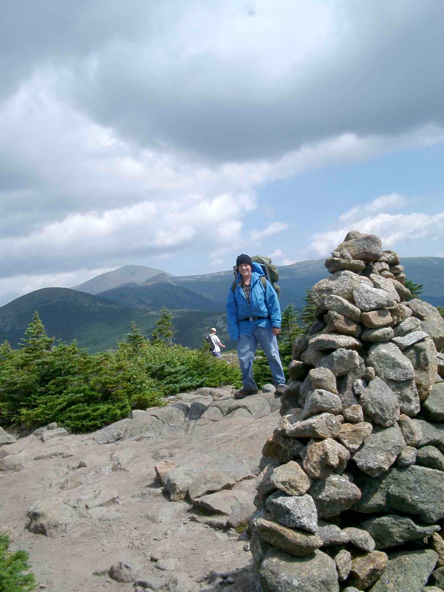
| Start of Day 3 - 50 mph steady winds with gusts up to 70 mph. Visibility was low from Mt Monroe to Mt Franklin - no other people until the clouds cleared about 2 hrs later. We almost bailed out off the Crawford Trail but the weather didn't worsen so we stuck it out - and well worth it | ||||||||||||||||||||||||||||||||
| Final (and easiest) Summit - Mt Pierce. Looking back to Mt Eisenhower, Franklin, Monroe (wedged between Franklin and Washington)) and Mt Washington. | ||||||||||||||||||||||||||||||||
| Home Troop Organization Monthly Trip Schedule & Information | ||||||||||||||||||||||||||||||||
| What Scouts Should Know Merit Badges Scouting Links | ||||||||||||||||||||||||||||||||
| Philmont Alternative - New England Opportunities | ||||||||||||||||||||||||||||||||