|
 Virginia Virginia
Mile 78.2 Rockytop Overlook
Rockytop Overlook provides a good view of the wild canyon country of
the Big Run watershed.
Mile 79.5 Loft Mountain
The Loft Mountain Campground has both tent and trailer sites, a
trailer sewage disposal station, service station, wayside facility
with a camp store, gift shop, picnic ground, showers, laundry, ice,
firewood, a self- guiding nature trail, and conducted hikes and
campfire programs in the summer.
Mile 81.1 Doyles River Trail
From this trailhead it takes you to the upper falls, 2.7 miles round
trip.
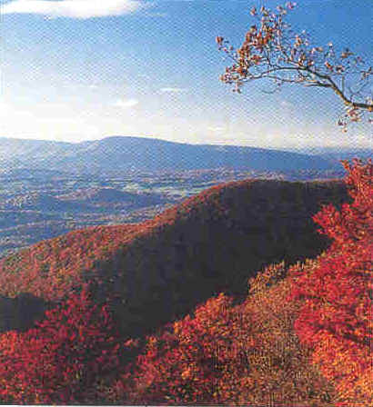
Mile 81.2 Big Run
The valley of Big Run is one of the park's most scenic. From here the
vista opens into the depths of the park's largest stream. On one side
of Big Run is Rockytop Ridge and the other side stands Rocky Mountain
and Brown Mountain. On a clear day the quartz outcrops on Rocky
Mountain are visible. Brown Mountain Overlook is visible in the
foreground.
Mile 83.7 Dundo Group Camp
This is the site of a former CCC camp, is restricted to organized
groups on a reservation basis.
Mile 84.1 Jones Run
For a rewarding hike this is a good place to park. The hike consists
of a 3.6 miles, round trip, to the 42-foot Jones Run Falls. The
reward: mosses and flowering plants growing on the water-sprayed
cliff.
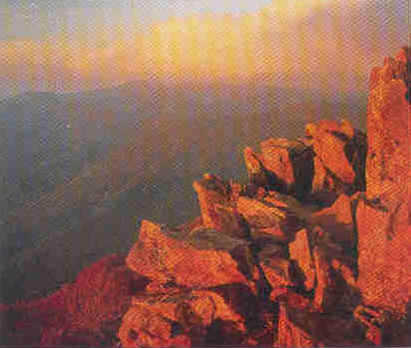
Mile 84.8 Blackrock Parking
This parking area is the start of a 1-mile round trip hike to
Blackrock and outstanding views.
Mile 92.6 Crimora Lake
Overlook
This overlook forms the centerpiece of this expansive view. It is
framed by Turk Mountain to the left and Rocks Mountain to the right.
From 2,985 feet you can see the strewn rock slopes of Rocks
Mountain. Crimora Lake is on the eastern edge of the Shenandoah
Valley. The lake is a mining relic. This area had more manganese
extracted from it than any other mine in America.
Mile 94.1 Turk
Mountain
The Turk Mountain is a very easy, very short hike just off the road.
Enjoy amazing views from the summit of Turk Mountain, Shenandoah's
southernmost peak.
Mile 98.9 Calf Mountain
Overlook
This provides a spectacular 300-degree view.
Mile 104.6 Rockfish (South)
Entrance Station
This is the south entrance to the park and is staffed by the Park
Service.
Mile 105.4 Rockfish Gap
This starts or ends Skyline Drive, depending on which way you are
heading. The Drive runs south directly into Blue Ridge Parkway, also
administered by the National Park Service. The Humpback Rocks Visitor
Center is 5 miles south. Two major east-west highways, U.S. 250 and
I-64, cross the mountains here. Travel facilities are numerous in the
Waynesboro and Charlottesville areas.
|