Location:
Central Europe, east of France, north of Italy
Geographic coordinates:
47 00 N, 8 00 E
Map references:
Europe
Area:
Total - 41,290 sq km Land -39,770 sq km Water - 1,520 sq km
Climate:
temperate, but varies with altitude; cold, cloudy, rainy/snowy winters; cool to warm, cloudy, humid summers with occasional showers
Terrain:
mostly mountains (Alps in south, Jura in northwest) with a central plateau of rolling hills, plains, and large lakes
Elevation extremes:
lowest point: Lake Maggiore 195 m
highest point: Dufourspitze 4,634 m
National resources:
hydropower potential, timber, salt
Natural hazzards:
avalanches, landslides, flash floods
Environment - Current issues:
air pollution from vehicle emissions and open-air burning; acid rain; water pollution from increased use of agricultural fertilizers; loss of biodiversity
Geography - note:
landlocked; crossroads of northern and southern Europe; along with southeastern France, northern Italy, and southwestern Austria, has the highest elevations in the Alps
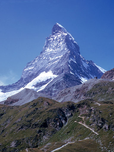
Mountains of Switzerland