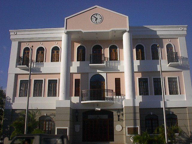
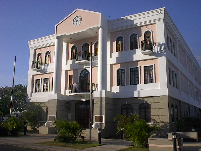
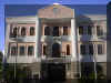
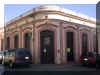
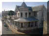
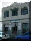
Old City Hall, more
than 100 years old, today being remodeled. |

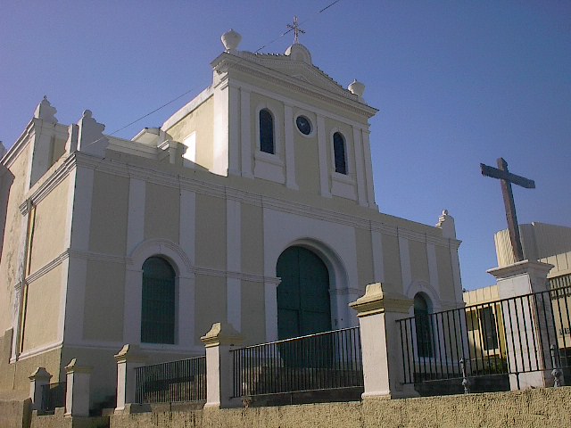
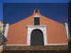
San Germán de
Auxerre Parish and Cathedral, facing the Central Square and the City Hall. |

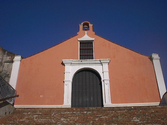
The wooden cross in
the front is a monument commemorating the 500 years of Christianity in the
New World. |

Closer look. |

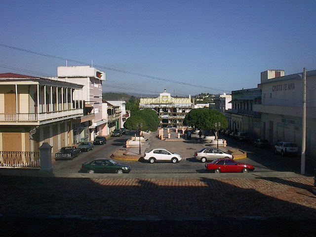
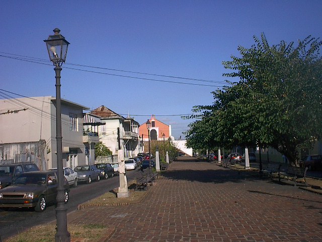
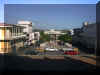
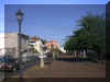
Francisco M.
Quiñones Central Square, with the Cathedral. Spanish towns were
laid out around a central square with the town's church at one side and
the City Hall at the other side. |
 |
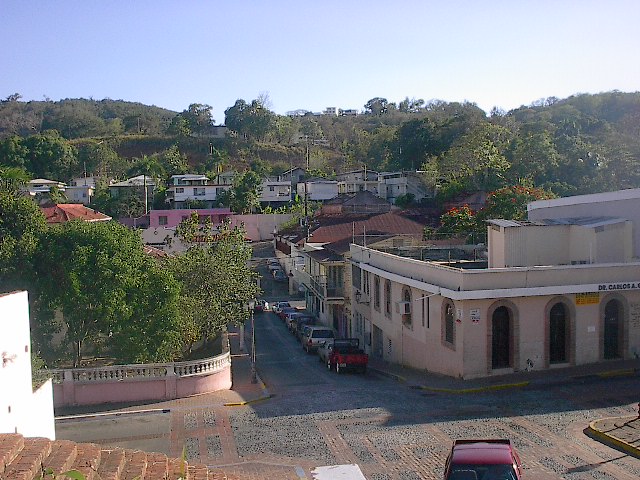
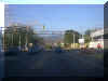
View of the Old City
Hall and of the Francisco M. Quiñones Central Square from the Cathedral,
in 2003. In 1898
the Central Square used to be alive with vendors; in 2003 a car rarely
passes thru each minute or so. |
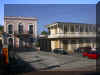
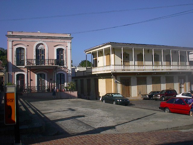
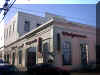
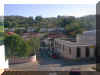
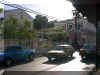
Surrounding
historical buildings around the Central Square. |
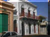
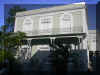
An old house on the
left side of the Old City Hall. |
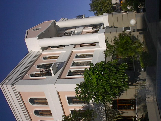
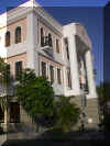
New City Hall on
Luna St., built in 1989 following the surrounding architecture. |
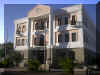
Side View of the New
City Hall and one of it's small fountains. |
View from across the
Luna St. |
"La Botica",
the oldest pharmacy downtown. |
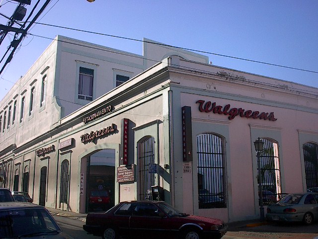
"Walgreens",
the modern pharmacy downtown. |
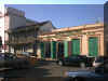
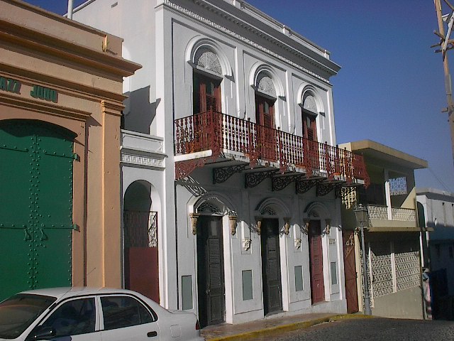
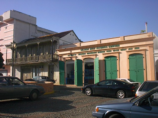
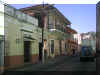
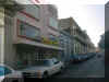
Commerce in the old
buildings around the square. |
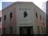
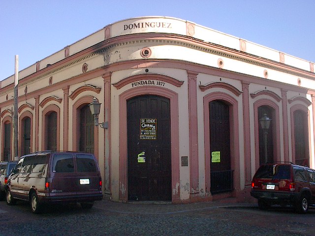
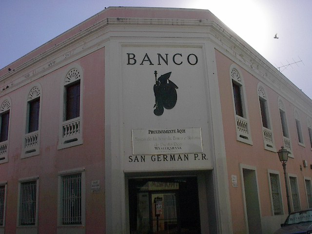
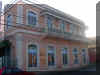
The old "Banco
de San Germán", now turned into a Westernbank. Centuries later
and the building is still a bank. |
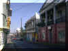
This is the famous
street where the U.S. Army marched to take over San Germán and western
Puerto Rico. |
Classic picture depicting the U.S. Army
marching in our streets. |

Deterioration of our
old buildings has been long criticized. The bureaucracy of the
government in the Historical District makes it difficult to restore the
old buildings. |
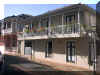
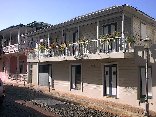
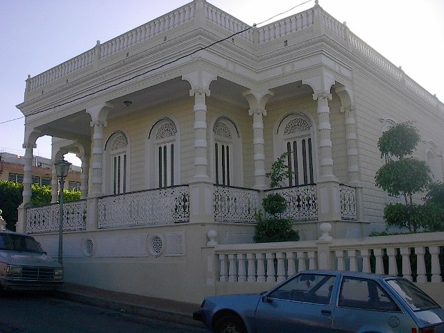
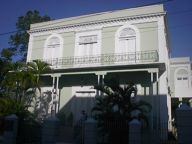
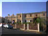
Residential historic
homes across the street from the San Germán de Auxerre Cathedral. |
These homes have
been kept beautiful by it's inhabitants. |
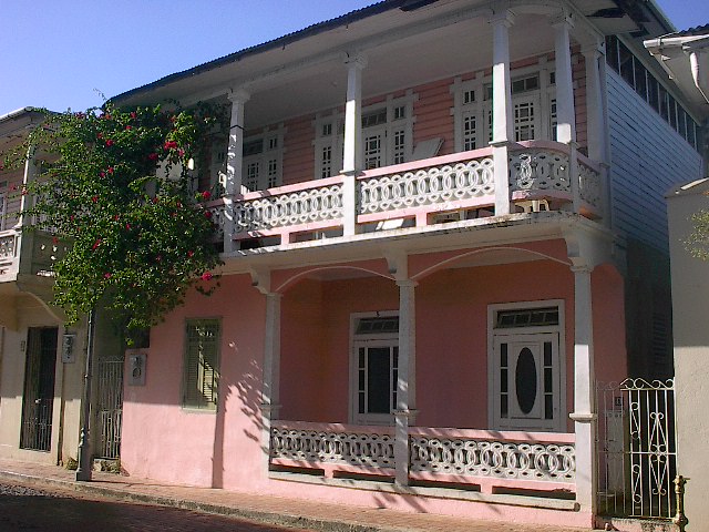
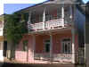
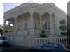
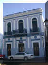
Famous residence in
front of the Porta Coeli and the Santo Domingo Square. |
Same Victorian-style
house from the Porta Coeli. |
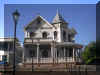
Old house in
"El Bosque", a residential district. Notice the beautiful
architecture. |
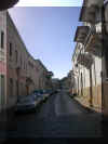
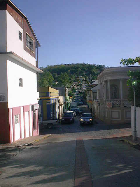
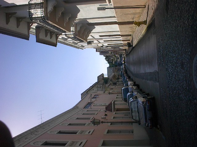
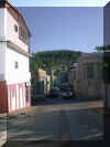
Narrow street close
to the center of the city. |
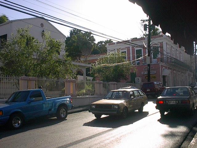
Difference of old
and new. Manzanares street near the center of the city, and Casto
Pérez Ave., modern road connecting Interstate PR-2 and Luna St. (Luna St.
is like Main St. in US Towns) |
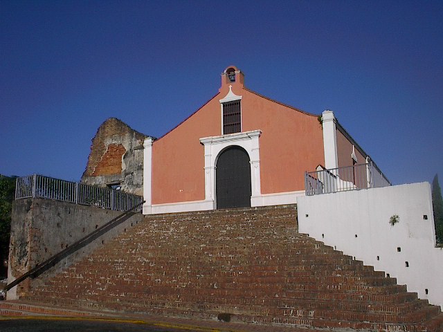
View from the stairs
of Porta Coeli towards the south. |
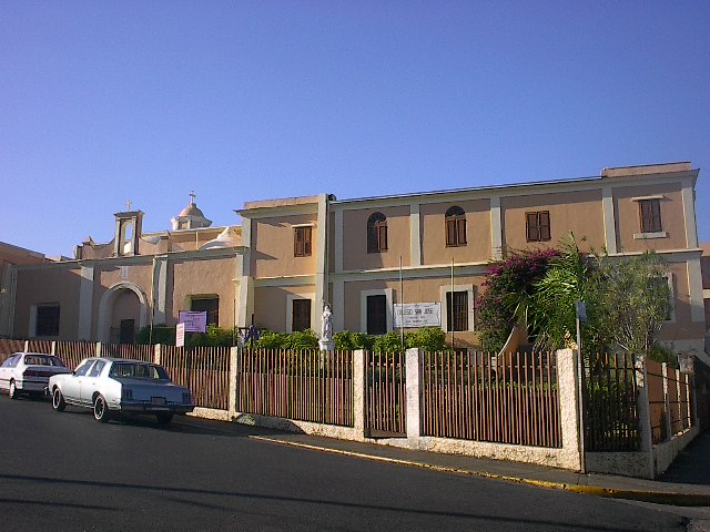
"Ermita de San
Sebastián", a small chapel now turned into the library of the
Colegio San José (St. Joseph's College) a private Catholic school. |
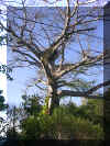
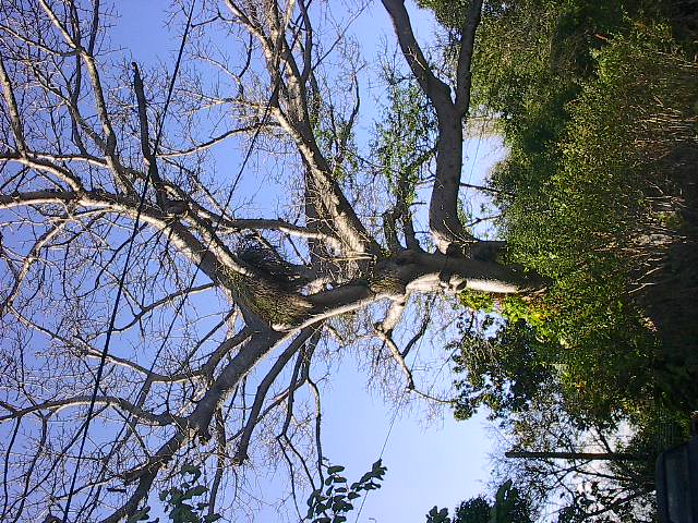
The Ceiba of
Liberty, planted in 1897 celebrating Puerto Rico's independence from
Spain. A couple months after its planting, Puerto Rico became a U.S.
Territory. Today, this centennial tree still stands strong and will
probably stand for centuries. |
in it's recent
orange color. |
Porta Coeli viewed
from the Santo Domingo Plaza. |
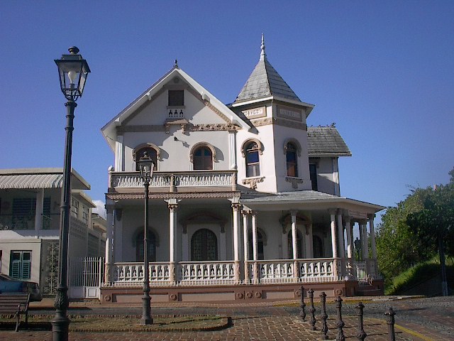
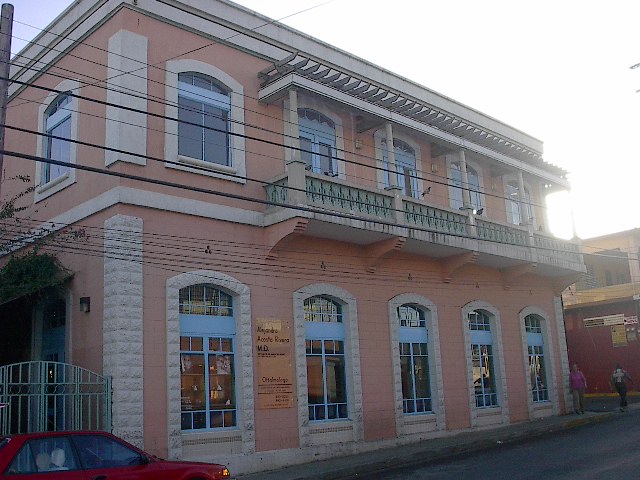
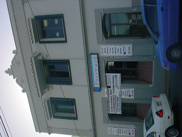
An ophthalmologist
who decided to restore an old building to house his business. |
Alfredo Ramírez de
Arellano y Rossel Museum. |
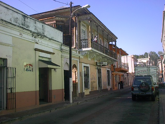
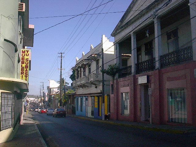
Luna Street close to
central San Germán and Walgreens. |
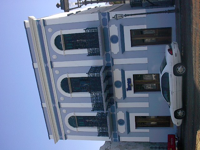
Computer business at
the other end from the Porta Coeli and the Santo Domingo Plaza. |
Hoses and commerce
in Luna Street. |
Some commerce
restore old buildings, depicted here a new Café in Santo Domingo Plaza. |
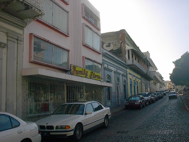
Streets surrounding
the Francisco M. Quiñones Plaza and some of the oldest stores. In
Puerto Rico, for some odd reason, local stores and services are named in
English instead of Spanish, "Family Sore", Oliver
Exterminating", Lugo Auto Sales"... |
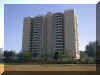
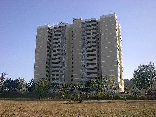
Joanne Apartments,
tallest building in San Germán (and only skyscraper). It has 18 floors of
low-income apartments. |

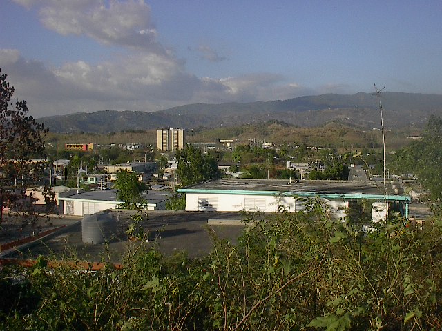
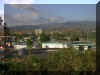
View of eastern San
German towards the south. The large building in the center is the
Arquelio Torres Ramírez Coliseum (basketball). |
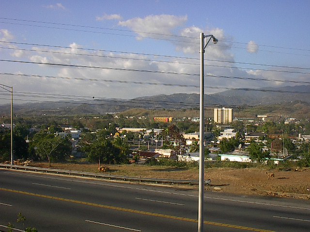
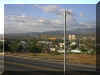
Skyline of the
modern San Germán towards the north. In the Background, the Monte
del Estado mountains, 700 ft over sea level. |
|
|
|
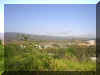
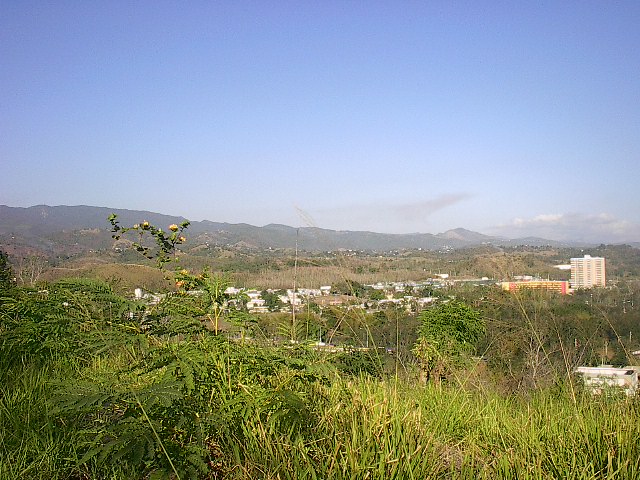
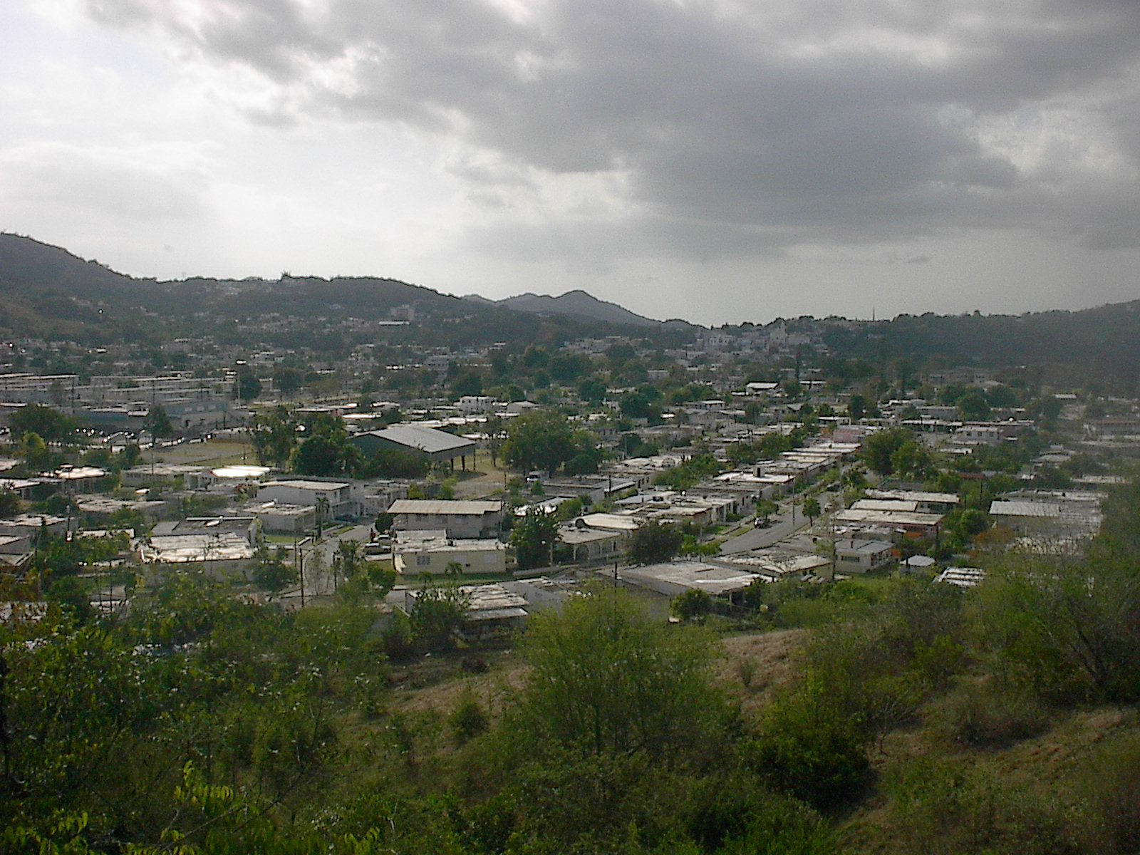
View of San Germán
from the Liberty Hill, where the Liberty Ceiba (Ceiba de la Libertad)
stands. |

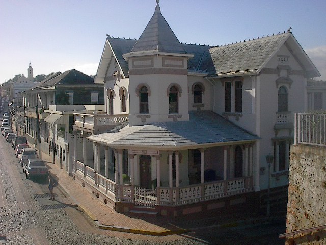
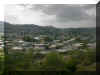
View of Central San
Germán (downtown?). If you look closer you will notice the San
Germán de Auxerre Cathedral and the spike of the Inter-American
University Church. LARGE
FILE |
View of houses and
central San Germán. |
|
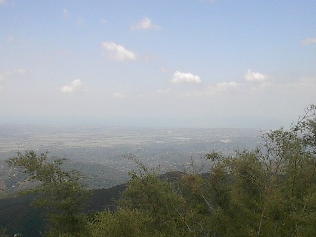
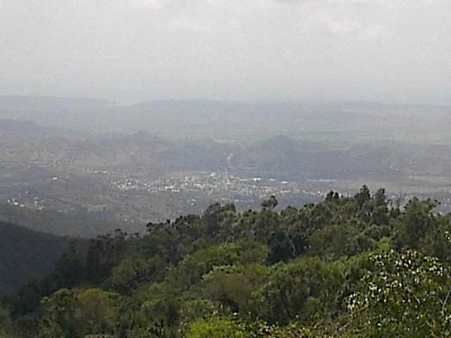
San Germán from the
sky... view atop the Monte del Estado mountains towards the south. |
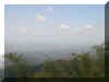
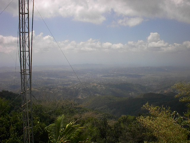
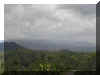
View of the
Guanajibo Valley and the Caribbean atop the Monte del Estado. |
 |
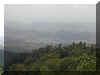
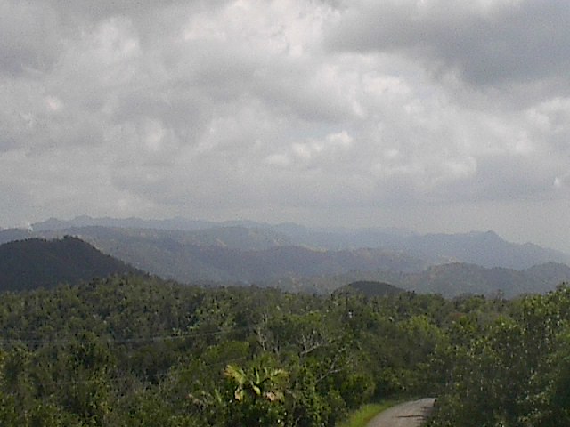
Our neighbors to the
east and one of the sons of San Germán, the town of Sabana Grande. |
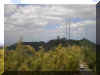
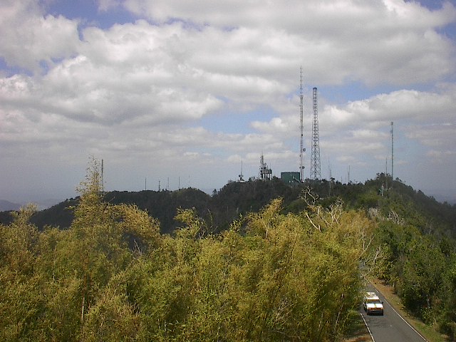
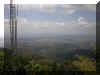
The T.V. and radio
antennas, serving western Puerto Rico, in the border between San Germán
and Maricao. Hosts Channel 3, 5, 12 an 22 plus at least 5 radio
stations and cell phone antennas. |

Same view of the
Monte del Estado Antennas. |
All
Rights for this Pictures are reserved - Michael González |
|
![[Company Logo Image]](_borders/citylogo.jpg)