|
|


|

|
Mackenzie CountyCIAM RadioFort Vermilion School DivisionCanadian Heritage Information NetworkSpirit of the Peace MuseumsMighty Peace Tourist AssociationTravel Alberta |


|
|
|
|
|
|
Caribou River Natural Area
The Caribou River Natural Area is 195 hectares in size, it is located east of High Level and Fort Vermilion.
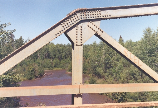
Similar to the Ponton Natural Area, the Caribou River Natural Area supports a variety of fish species. It's habitat provides an excellent wildlife migration corridor between the Peace River and Caribou Mountains. The area has a diversity of plant community types, including remnant grasslands of the Peace River Parkland, a rare feature for the region.
It is a popular area for hunting , fishing, canoeing, and hiking.
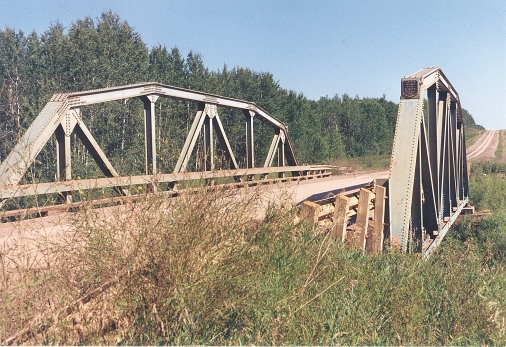
Canoeists can access the Caribou River along gravel Highway 58 on route to John D'or Prairie.
Photos by Marilee Cranna Toews, Fort Vermilion