| � Home |
| � In The Civil War |
| � Civil War Sites Along Trail |
| � Biking |
| � The Railroad Remembered |
| � Parking |
| � Running |
| � What's New? |
| � Maps |
| � Walking |
| � In-Line Skating |
| � Old Towns On It |
| � Nature Centers and Museums |
| � Masonry Culverts and Trestles |
| � Railroad Photos |
| � Old Houses |
| � African- American Sites |
| � Equestrian |
| � Wildlife |
| � Bike Commuting |
| � Camping |
| � List of Photos Of It In Libraries |
| � Water Fountains |
| � Train Stations |
| � Railroad Suburbs |
| � Barns: Rural Legacy |
| � Barcroft |
| � Falls Church |
| � Dunn Loring |
| � Vienna |
| � Herndon |
| � Sterling |
| � Ashburn |
| � Leesburg |
| � Waterford |
| � Hamilton |
| � Purcellville |
| � Round Hill |
| Falls Church |
| Dunn Loring |
| Vienna |
| Reston |
| Herndon |
| Sterling |
| Ashburn |
| Leesburg |
| Waterford |
| Hamilton |
| Purcellville |
| Round Hill |
The future of the trail seems safe, because the right-of-way of the trail is secure. The views from the trail are endangered, because of the increasing density of population surrounding the trail. The best views from the trail are in Loudoun County, in the western half of the trail. That is not to say that the eastern half of the trail is urban; far from it. In Arlington, the trail winds through that county's Four Mile Run Park, which is surprisingly wild. In Loudoun, the open land next to the trail is not park land but private land. In the 1990's, Loudoun County was the second fastest-growing county in the United States.
In response to this growth, at the turn-of-the-century, the citizens of Loudoun elected an anti-growth government, which in turn restricted future development in the northern and western part of the county in 2003. If upheld, these restrictions would protect some of the views of the western-most four miles of the trail. In fact the County had previously planned for dense development along the trail,
|
|
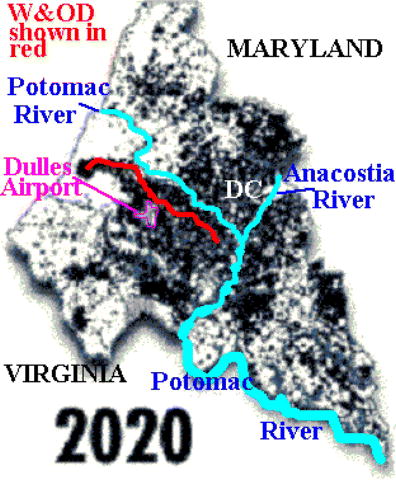
| These projections of density of population in the Washington area were made by The Washington Post in the late 1990's. Please note that the W&OD Trail, shown in red, stays in the middle of a corridor of dense development all the way to its western terminus. |
Advocates of the trail talk about it as corridor for wildlife, an insight gained from the greenway movement. As a greenway, the trail also motivates people to preserve open land abutting the trail. For example, recently in Ashburn, a developer gave an easement on dozens of acres of open space next to the trail to the Northern Virginia Land Conservation Trust. West of Leesburg, the Audubon Naturalist Society is preserving 62-acres in a sanctuary, which nearly adjoins the trial: only a campground of the 4-H organization stands between it and the trail.
Please check back in the near future, for I will be expanding this page.
This page last updated Jan 9, 2003 by webmaster.