| � Home |
| � In The Civil War |
| � Biking |
| � The Railroad Remembered |
| � Parking |
| � Running |
| � Maps |
| � Walking |
| � In-Line Skating |
| � Old Towns On It |
| � Nature Centers and Museums |
| � Masonry Culverts and Trestles |
| � Railroad Photos |
| � Old Houses |
| � African- American Sites |
| � Equestrian |
| � Wildlife |
| � Bike Commuting |
| � Camping |
| � List of Photos Of It In Libraries |
| � Water Fountains |
| � Train Stations |
| � Falls Church |
| � Dunn Loring |
| � Vienna |
| � Herndon |
| � Ashburn |
| � Leesburg |
| � Hamilton |
| � Purcellville |
| � Round Hill |
| Arlington |
| Falls Church |
| Dunn Loring |
| Vienna |
| Reston |
| Herndon |
| Sterling |
| Ashburn |
| Leesburg |
| Hamilton |
| Purcellville |
| Round Hill |
Once you've reached the western end of the trail, where do you go? This page considers several alternatives:
- Turn north on country roads fifteen miles to Brunswick, MD. cuesheet and take the C & O Canal back to Washington
- Keep going west over the Blue Ridge cuesheet
- Take back roads to Round Hill. In the future, Loudoun County will construct a trail to Round Hill. The remainder of this page explores the back roads to Round Hill.
At the western end of the trail, turn right onto N. 21st Street (this becomes Hillsboro Road outside of the Town of Purcellville) and cross the bridge over Virginia Route 7, a four-lane highway. The first house on the left after crossing the bridge is the Dillon House, 1795, built by a miller.
On the right, a stones throw to the north, is Rich Bottom Farm, which is on the National Register. It is now a bed-and-breakfast.
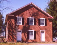
Proceed to the first intersection, Allder School Road, and turn left. The road soon becomes gravel, which punishes bike tires. After a row of relatively new houses, the road passes a farm. After the farm, the road crosses a creek and intersects with another gravel road. On the southwest corner is historic Ketoctin Baptist Church 1854 and graveyard. Not used by a congregation for many years, except once per year in May, it is maintained by an association. In 2000, local Baptists attempted to attract a new congregation to worship in the building. It replaced a log structure built in the 18th-Century.
If you wish, proceed several miles to Route 610 and turn left to reach Round Hill
This page was last modified Dec 10, 2002.
 Send email to webmaster. This page hosted by
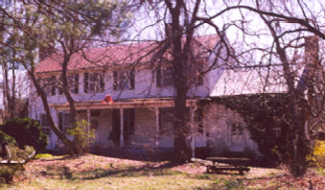