As a first step to solving many of the world mounting environmental and justice problems, what the world needs desperately at the beginning of the 21st. century is a more
accurate popular world view. Classical map-makers huddled around the pleasant warm pond of the Mediterranean drew maps of the then known world as primarily most of Europe with a bit of Asia-Minor on
the side. Then came the Age of Reason and the rise of Colonial Maritime Powers from the 16th. Century through the 19th. Century.
1569 Flemish cartographer Gerhardus Mercator created his popular flat projection of the world. Mercator Projection most suited naval powers as all straight lines on the map are lines of
constant azimuth very important for marine navigation. (Alas straight lines are not the shortest distance between two points on a Mercator Projection.) Unfortunately this bulb
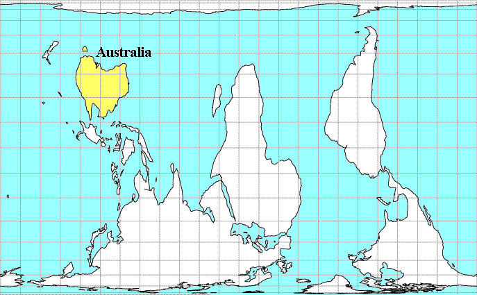
in the centre of the globe projecting the world onto a screen has a distinct disadvantage;- Area is not Equal! Little countries like the old world powers of Europe appear disporportionally large when
compared to the truly big countries of the tropics and the southern hemisphere. Size and position on a map are often subconsciously associated with importance. So it has suited the First World
propaganda agenda to sustain the miss-perception perpetuated by the Mercator Projection. Since the time of the Ancients, maps were conventionally drawn with the stars / heavens above and the
unknown below . Following this convention the Southern Hemisphere correctly should be placed at the top of maps because it is the South that faces towards the centre of the galaxy. The Milky Way that
dense cloud of stars smeared majestically across our Southern skys. This sad oversight had to wait until 1970 when Stuart McArthur (then a
12 years old Australian schoolboy)
first dared to draw the world right-way-up with the South at the top of the map, developing his "Universal Corrective Map of the World". Unfortunately Stuart first map is a upside Mercator (like) Projection.
There are a few different equal-area map projections around. The most famous probably Gall-Peters projection. In 1855 the English clergyman James
Gall published (in the Scottish Geographical Magazine) his 'orthographic equal-area projection' . Relaunched in 1973 as a 'new'
type of flat world view by Arno Peters (German historian and journalist). Cartographers have a whole clutch of Cylindrical Equal Area projections with lines of latitude & longitude as a rectangular
grid;- Lambert, Edwards, Gall /Peters, Behrmann and it resent derivative 'The Hobo-Dyer Projection' (HDP). Commissioned from the British cartographer, Mick Dyer by ODT, Inc. it feels less distorted than the Peters projection. ODT even publish a South-Up version, unfortunately only
place-mat size 280mm x 432mm (11" x 17"). Besides the rectangular grid equal area types of flat maps, there are some
other equal area projections of a globe in segments;- 'Goode's Homolosine' ,'Interrupted Mollweide Projection' (which I personally like). So if your Schools or Libraries are still using the steam-age Mercator Projection write letters and demand that they be more honest and use a "Universal Corrective Equal Area
Projection Map". Unfortunately (after many email request to me about where can you get one, it has become clear ) this will take a little work as no one seems to be currently publishing a
"Universal Corrective Equal Area Projection Map." large enough for class-room use. Thus my simplest suggestion is to purchase a Gall /Peters, 'Goode's Homolosine'
, 'Interrupted Mollweide Projection' map (search the web for your nearest supplier), then turn it the South up before you hang it. { As a fall back position ODT do sell two non-equal area, South-Up maps;- The classic "
McArthur's Universal Corrective Map", and a Van der Grinten projection called the "What's Up? South!" World map}. { Other source of South-Up maps
are listed on Francis's " The Upsidedown Map Page " }.
{PS: If anyone starts manufacturing an edition of a
"Universal Corrective Equal Area Projection Map" big enough for use in school classrooms could they please tell me, thanks.}
|