| |
|
Maps:
Polystypos is one of the five highest villages
of Cyprus and one of the most beautiful villages
of Pitsilia. It looks like a beautiful painting
that changes according to the season. It is 1,150
meters above sea level, it belongs to the Nicosia
district and is 48 km from the Capital.
|
|
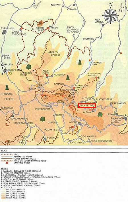
Map
of Polystypos:
[Click
on the Photo for Detailed View]
|
|
|
The
RED rectangle shows
Polystypos village
|
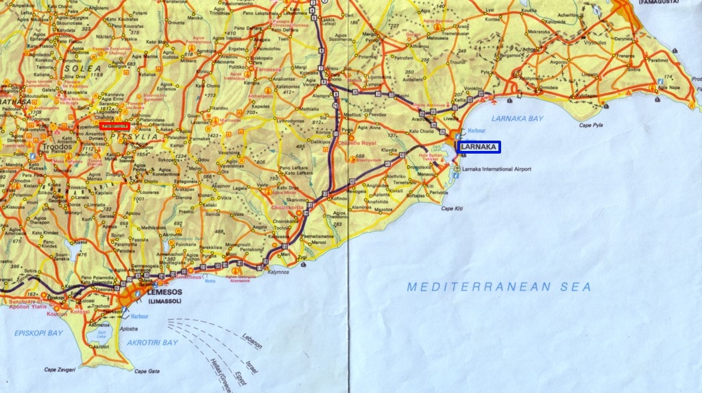
Map
of Cyprus:
[Click
on the Photo for Detailed View]
|
|
|
The
RED rectangle shows
Polystypos village
The BLUE rectangle
shows Larnaka city
|
|
|