 136th New York Infantry
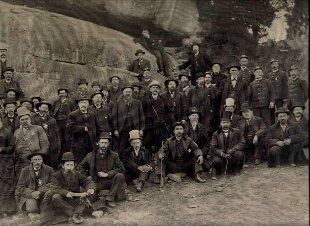
 Click here to learn about those who died in Gettysburg defending the ground where the current National Park Service Visitor Center will be removed and the battle line restored to its 1863 historic appearance. Click here for a photo gallery of soldiers of the 136th NYSV Infantry

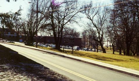
The photo (below) was taken looking south on Taneytown Road towards the 136th New York regimental monument and the Gettysburg National Military Park Visitor Center. Once the Visitor Center and Cyclorama are removed, future generations will be able to see the viewshed the veterans saw those days back in July 1863 and understand the battle better for it.
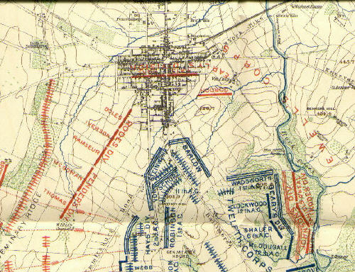
The map (below) is from "New York at Gettysburg" showing the main battle lines on July 3, 1863. The 136th New York's position was on the extreme left of Von Steinwehr's division located on Taneytown Road on what is now National Park Service property (at the location of the current Gettysburg Visitor Center). The skirmish lines extended west and somewhat south of this position, across the Emmitsburg Road, presently called Steinwehr Avenue in this section. The areas defended by the regiment's skirmish lines are now occupied by the Colt Park Subdivision and many commercial establishments. The regiment had 109 casualties on this hallowed ground.
� 2006 [email protected]
Back to Our Main Page.