photographs 9-12
|
Contents |
|
3. Loch an Nid |
|
4. Meander |
|
6. Ox-bow lake |
|
16. Loch na Sealga |
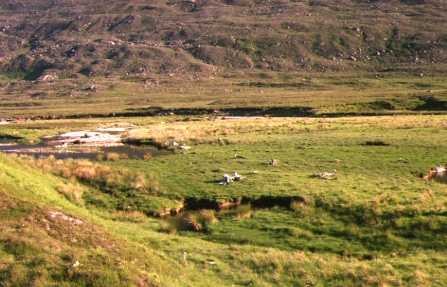
This view, taken in 1995, shows the pool which was overflowing across the river's floodplain. This pool had probably formed after the main channel became blocked when the river was in spate. The stones on the far side of the pool are those which were deposited at that time.
| Top of page | Home page |
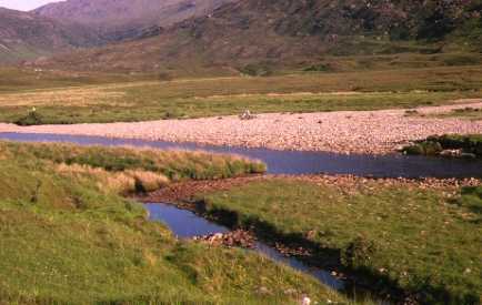
(077801, southwest)
This photograph was taken looking to the right of the previous one. In the background will be seen the main channel while in the foreground is the floodplain over which water was flowing. It is clear that at times of high rainfall, large volume of water flowed over this area as can be seen by the tree stumps. On the far right, just visible, it one of the low waterfalls where the river was cutting back to form a new channel.
| Top of page | Home page |
(077801, southeast)
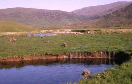
The waterfalls referred to in the previous photograph can be seen in this view looking upstream. While erosion was rapid compared to waterfalls on solid rock, the grass was helping to bind the sand and gravel slowing the river's erosion.
| Top of page | Home page |
(077801, southeast)
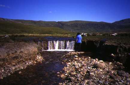
By 1997, the river had cut back to about seven metres of the pool. The grass where the water had been flowing had died by this time and the flow of the water was more easily seen.
| Next page | Top of page | Home page |