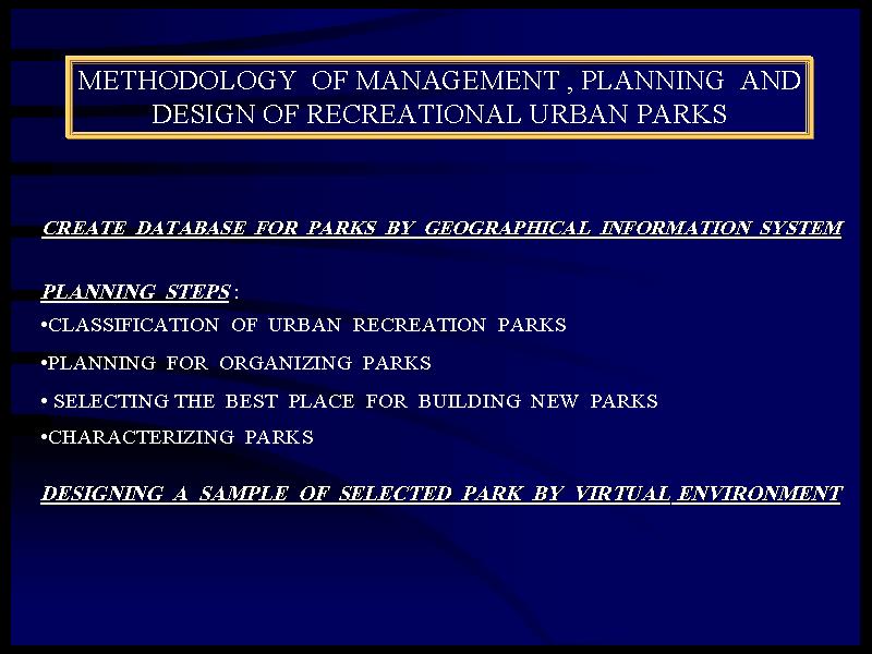
In this page you can see special models for creating better urban landscapes by VITULA . A model uses a methodology or set of procedures to simulate real world conditions so we describe the opurtunities that VITULA & VITIULA give us for designing sustainable urban landscapes . GIS contains smart maps &VRIS deliver vital maps but VITULA design our Earth .
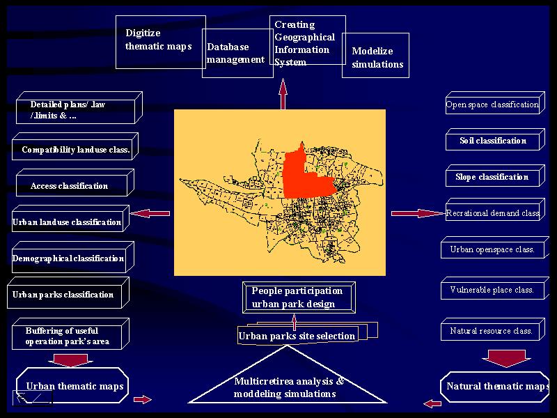
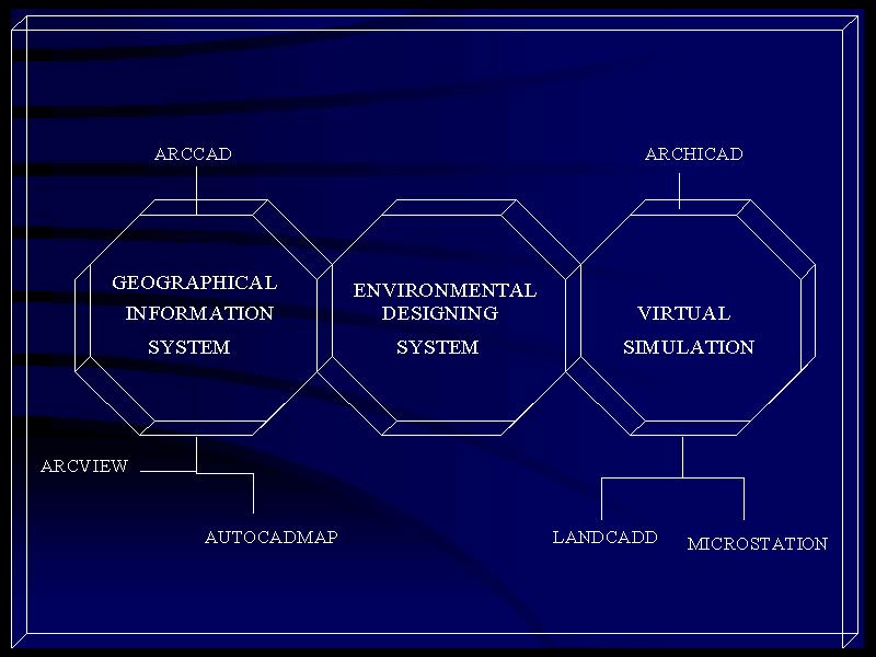
VITULA try to combine all technic of digital world in order to design the most important vulnerable part of Earth as Urban environment . technologies like GIS(Geographical Information Systems), VRIS(Virtual Reality Information Systems) , PPGIS (People Participation GIS) , EDS(Environment Designing Systems) , RS(Remote Sensing ),VS(Virtual Simulations)& .... are fundemental of creating VITULA .
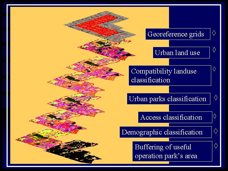
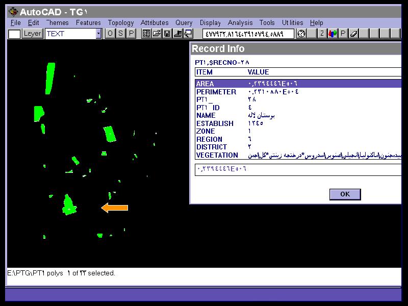
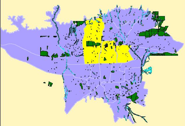
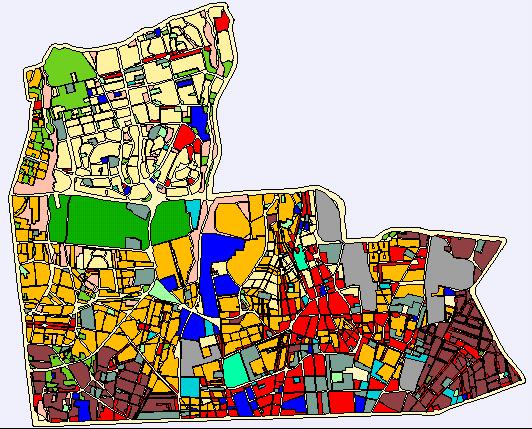
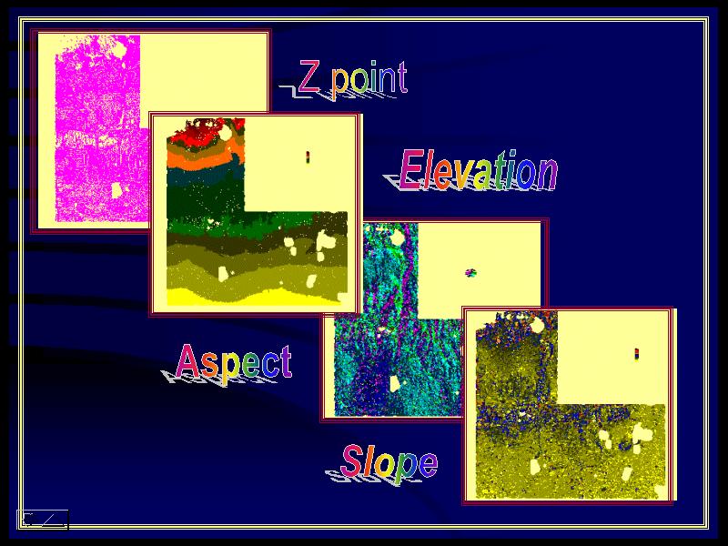
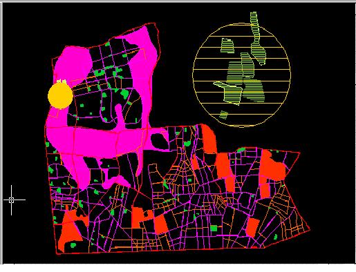
Some titels like using GIS & spatial entity and attribute data for multicriteria analysis , creating decesion modeles , simulate the real fact of limits & property in update situation of case study area , classification of data , urban park site selection , participating people
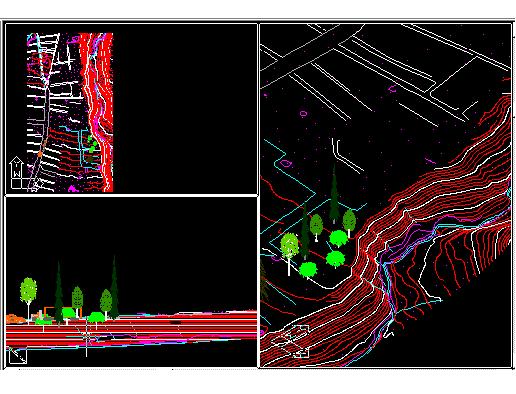
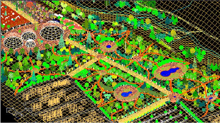
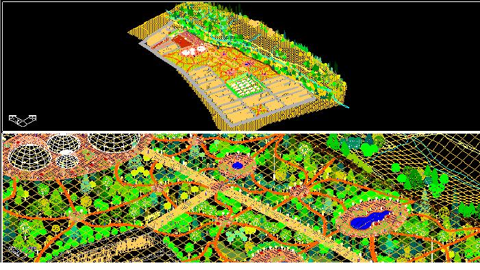
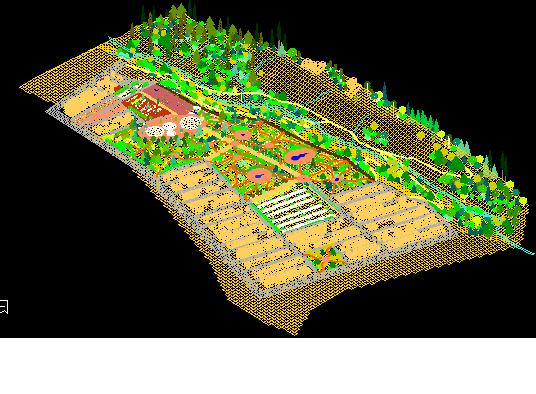
In this picture you see the virual site simulation . after implementing the process of determiniing best arrange of urban parks divide & urban parks site selection we select a part of those parks as case study for creating the most sustainable design . you can observe , walk or fly trough , participate in designing , give your idea, get information & also virtualy
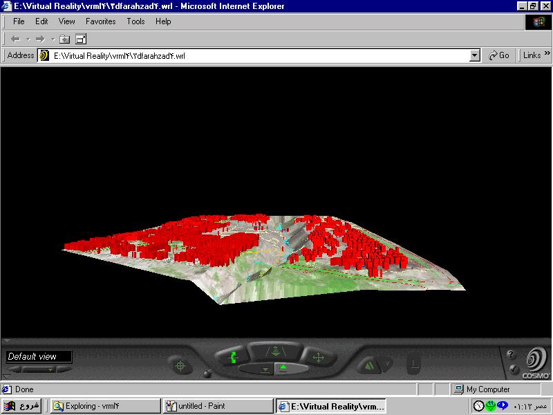
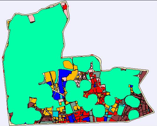
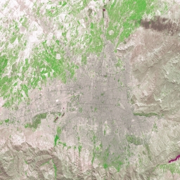
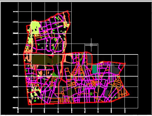
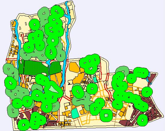
these images show a part of TEHRAN known as FARAHZAD place . There are the best uniques
urban environment land marks on this area . A lot of natural recreational urban resource , Farahzad vally , Farahzad river , vulnerable natural places , best place for recreational urban development & so on contains the positive(compatible) or negative(non compatible) situation of this place . after site selection & modelize the urban parks classification and best divides, by use of landscape programs and digital simulations , a final design was prepared . but this plan only show the limitations and oporrtunity of place , also a multidimensional model of site .