| LAND COVER LAND USE CHANGES Indonesian case study |
| LAND COVER LAND USE CHANGES Indonesian case study |
|
|
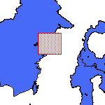
Mahakam Watershed |
|
|
Field survey: .- Citarum watershed .- Lower Mahakam watershed Points of Survey: .- Forest .- Delta Mahakam .- Urban / built-up area |
 |
| Urban / built up area |
 Traditional market |
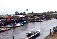
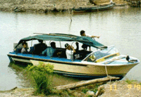 Main transportation |
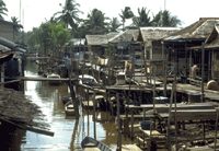 Village on the riverside |
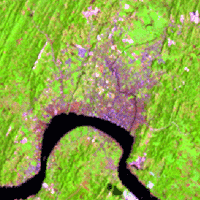 Samarinda, 1992 |
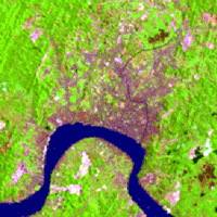 Samarinda, 1997 |
Cities in Kalimantan are mainly growing around rivers. Rivers are the main transportation route between cities and hinterland. From images of 1992 and 1997, one sees growth of Samarinda city. |
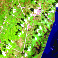 1992 |
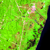 1997 |
|
| In the image above, it is shown the land cover change in the oil concession area. The picture on the right is a corridor for oil pipe, from a well to the refinery. | 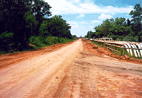 Inspection road |
|
| Goto : top |
| Back to: Study Area |
| Introduction | Team | Study Area | Publication | Links | Site Map |
| LCLUC Indonesia © 2001 |