| USGS Research Cruise Southern California February 9-18, 2005 |
 |
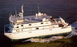 |
| Our Ship: the Western Flyer |
 |
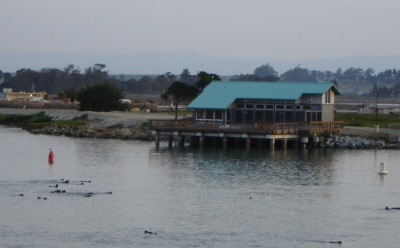 |
| Departed out of Moss Landing Port, notice the Monterey Sea Otters trailing the boat in the photo on the right |
 |
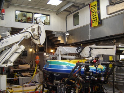 |
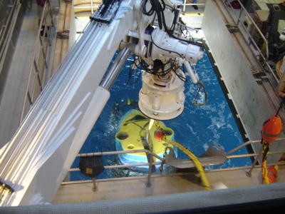
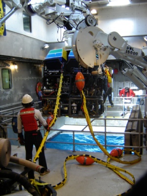
| ROV Tiburon - Center of the boat deployment station |
 |
 |
 |
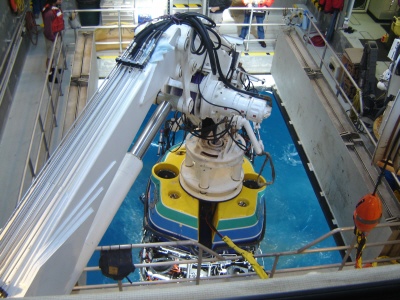 |
| Below: 4-Photo Sequence of ROV coming out of the water |
 |
 |
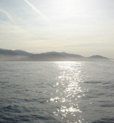
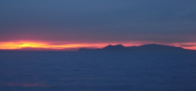
| Sunset behind Anacapa Island |
| Back Deck of Ship |
| 1 |
| 2 |
| 3 |
 |
 |
 |
 |
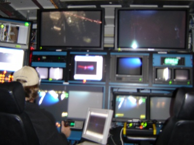
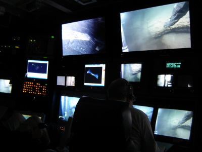
| Below: Control Room For Operating ROV |
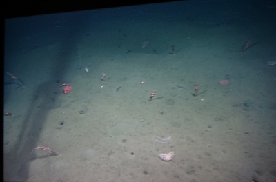
| Image of sea floor at 800m depth |
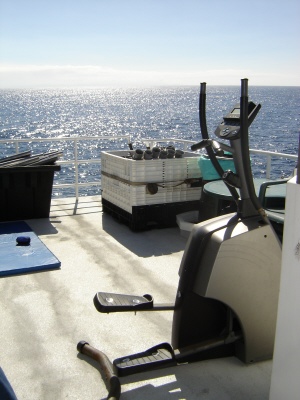
| My Outdoor Workout Room |
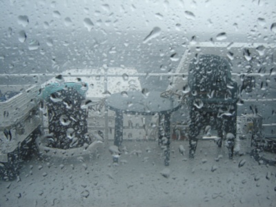
| Rain on the Last Day of the Trip |
 |
 |
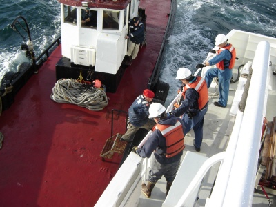
| The Port Pilot boards the ship to take us in to Port Hueneme |
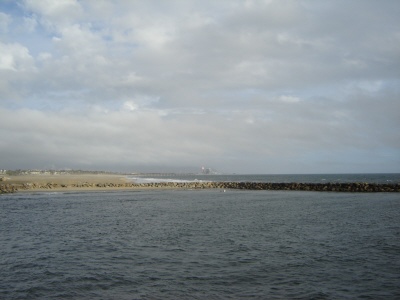
| Arrival into Port Hueneme |
| We had a mixed science crew from USGS and Monterey Bay Aquarium Research Institute (MBARI). We sailed upon the Western Flyer, and conducted research using the Remotely Operated Vehicle (ROV), Tiburon, in our studies of underwater hydrocarbon (gas) seeps. |
 |