![]()
|
|
|
|
|
| ||
|
|
|
|
|
|
|
|

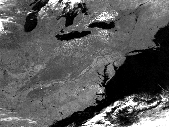
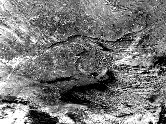
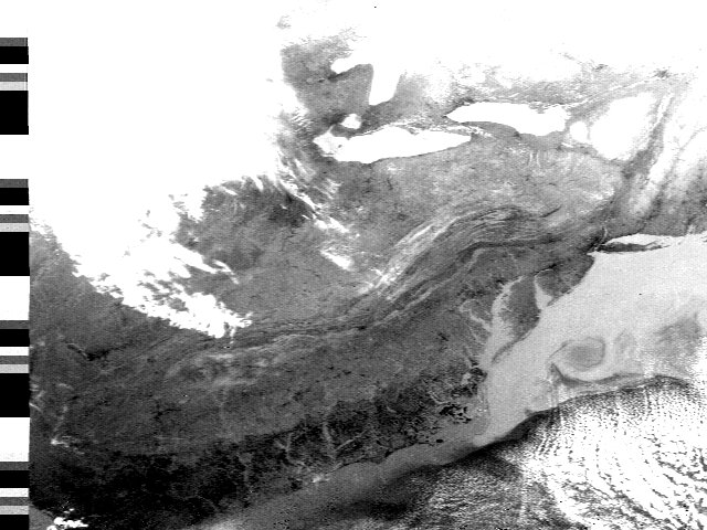
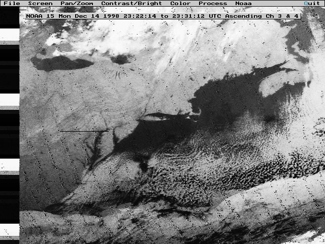
These images were all obtained with the direct readout satellite system in Mr. Baxter's room. The system consists of a quadrafiler antenna on the roof, a 486 computer with a qfax card, and software. All images are from NOAA satellites and are unique to our location and station. The first image, Manicougan, is interesting because it shows a circular white ring in southeastern Canada. The ring is actually fog laying in a low area that was probably caused by a meteorite impact. This illustrates how some things become visible with a satellite that otherwise are unobserved. The second image is an IR, or infrared, image. It only shows heat but note that water and land and the Bay are quite visible. This is an early April picture and note the cool water temperature from spring snow melt in the mountains running into the Bay. The third image is a visible light image. Note the geographic features present. Why do you think rivers show up so well? What's the smallest thing visible? How could you find out how big each pixel is?