We also fly lower, at 1500 to 2000 feet above the ground. This helps reduce turbulence slightly, but mostly gives us a great view of the Highway and the surrounding countryside. We flew north at 4000 to 5000 feet above the ground, but now we're a little more comfortable with the trees and the hills, and decide to enjoy them while we fly over them. The sky was overcast the whole day, however, so the pictures from the air are not noteworthy.
The road sign entering town proclaims Grande Prairie "the forestry capital of Canada". It looks to us more like North Dakota, with nary a tree in sight, and streets running east and west to the horizon. Not at all what we would expect a "forestry capital" to look like.
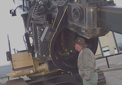
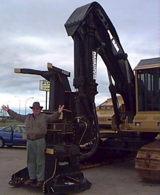
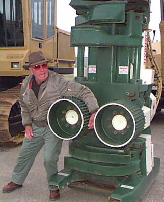
Then we turn the corner and find a Caterpillar dealer selling the logging equipment used to clear the north woods. Chief Pilot demonstrated safety procedures involved in using this equipment.
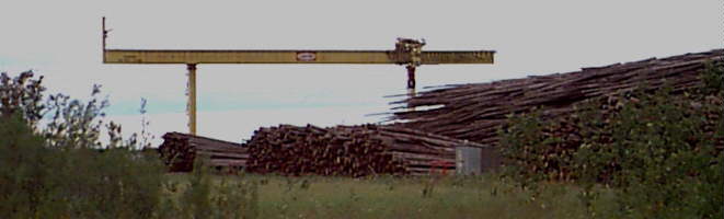
In the distance we could see a tall gantry crane, visible for miles around. I expected to see a shipyard or a steel mill. Instead we found an enormous lumber processing plant. It is here that much of the lumber harvested in the north finally gets processed into 2x4's, and it is this plant that makes Grande Prairie a "forestry capital".
Tomorrow we ride the southern edge of the low pressure wave one more time -- to Medicine Hat or Moose Jaw. The names of the towns are so intriguing that we may stop in both.