
Few pictures enroute because for the first time we leave early in the morning and are flying directly into the sun. We briefly fly south, however, and get this picture of the Alaska Highway hugging the mountainside.
We're flying on the southwestern edge of the low pressure area, and it is revolving counterclockwise. For us that means tail winds of nearly 30 knots. At times on this leg we reach ground speeds of 140+ knots. Compared to our groundspeeds on the way north (average 95), when we were bucking a headwind, this feels like we've installed a new engine. It also means the legs are completed in 75% of the time it took us coming north.
We arrive at the Watson Lake hotel at 2 pm, with plenty of time and daylight left. Across the parking lot are the internationally famous Watson Lake signposts. Why are they famous?
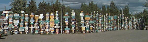
I knew my brother had passed this way in 1985, so I spent the next 2 hours looking for his sign. Along the way I figured I'd also find a sign from Buffalo, NY and Rochester, NY, the home ports of Chief Pilot and Co-pilot. But I was surprised to find very few big cities represented on the signs. What I did find was....
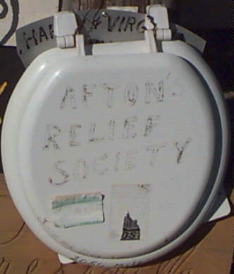
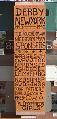
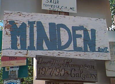
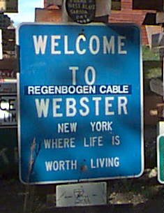
I had almost given up on finding a trace of my brother's journey over a decade ago, when I rounded a corner and found what could only belong to him. What did I find?
At the end of the day a couple of Harley's pulled in, their riders dusty and tired, but clearly enjoying the trip. They had actually made it where we tried to go -- Fairbanks, and the road north to the Arctic Circle. It turns out the road north out of Fairbanks is more appropriate for a 4 x 4 truck than a Harley Davidson Softail, but they made it anyway, despite the foot deep mud.
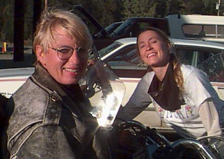
Sharon, and her daughter, Heather, are completing their ride from San Francisco to Fairbanks and back. They came up the Marine Highway via ferry from Vancouver, and are riding back the Alaska Highway. Their 350 to 400 miles per day on the road make our 500 to 600 miles per day in the air seem paltry by comparison.
Tomorrow, weather permitting, we'll fly out of the mountains and back to the rolling plains of Alberta.