
Axle Swap
High Clearance Steering
First Major Rebuild
Trail Runs:
Carnage Canyon
Coney Creek/Coney Flats
Road 509/Gillespie Gulch
Jenny Creek
Holy Cross
Other Stuff:
Tow Rig Pics
Wood Working Projects
Family and Friends
Various Other Links
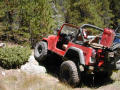
Jenny Creek Trail
Click on a picture for a larger view
|

|

