| G.C.S.E. Coursework |
| Introduction Since November 2001 year 10 Geography students from the Corbet School have carried out a river study in the Carding Mill Valley assisted by the Education Officer and volunteers from the National Trust. These pages contain photographs and information about the sites surveyed and help in how to write up GCSE coursework. |
| Maps To view a map of the Carding Mill valley go to the Multimap.com website and type in the search box Carding mill valley. A 1: 100 000 map will appear showing Church Stretton. Next click on the scale pull down menu and click on 1: 25 000. To get an aerial photograph of the area simply click on Aerial Photos on the left. See if you can spot the footpath erosion around the waterfall. For another map try Streetmap.com which gives a larger and very clear map. |
| Links for background information |
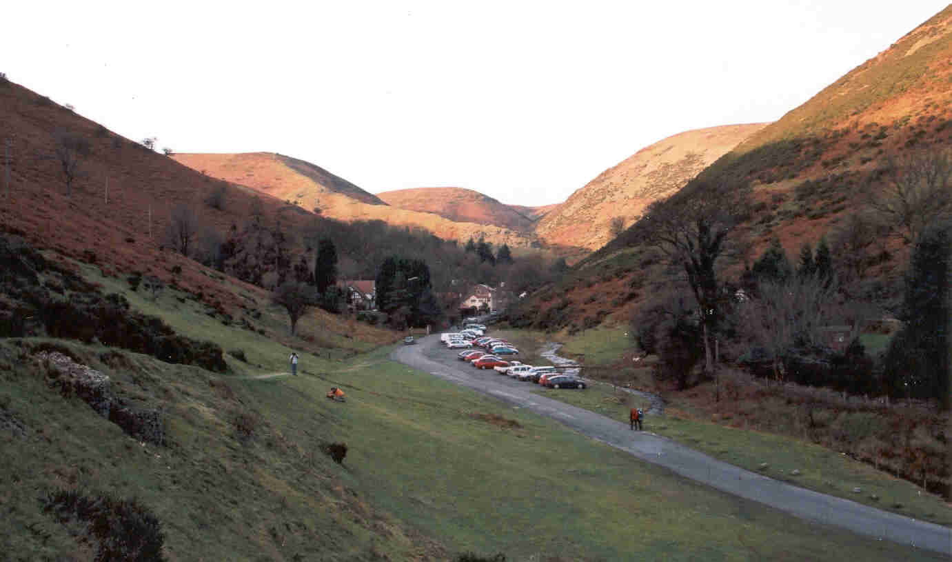 |
| Grid Reference 447943 Carding Mill Valley Looking Northwest |
| Printer not working? Off school sick and can't make the deadline? Then e-mail your work to school as an attachment. You will be charged for the cost of printing the work off at school. |
 |