![]()
![]()
![]()
![]()
![]()
![]()
![]()

Deauville—Pont l'Evêque
28km (approx. 1h30)
![]()
![]()
This has got to be one of the best rides in the area. The landscape is superbly beautiful, the road is engagingly hilly, but you are never panting your last breath on an uphill or plunging downhill with breaks squeezed till her hands bleed. The departmental roads are quiet and framed with trees.
|
Click here to see the map of Deauville. Or buy one. It's cheap. | |
Click here to see the road map. You will be taking mostly roads D278 and D118. | |
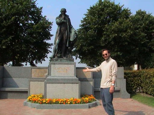
From Avenue de la République, take Hocquart de Turtot past the church and follow the road and signs in the direction of Saint Arnoult. On Ave. Strassburger note the beautiful Normandy style mansion on your right. Preferably on a note pad. The open space to your left is the Tourgéville Race Track, very busy in August. After the race track there is a lovely public picnic area. Stay on D278 to St. Etienne-la-Thillaye. There will be a moment where you will reach D58, but do not follow it to Pont l'Evêque as it leads to the national road (highway). Instead, take the direction Beaumont-en-Auge (birth place of Laplace) and you will soon see another sign to Pont l'Evêque which will lead you into D280 and very soon to the D118 all the way to your destination. | |
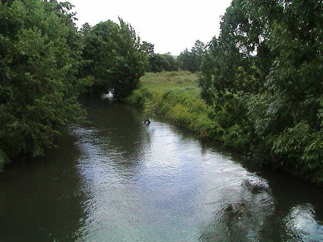
There is a delightful deviation by taking the D58 the other way until the N177. This little stretch of road is truly magnificent as it crosses Touques River. | |
Click here for an mpg video. And another that I filmed while pedaling across the Touques. |