Home StarMaps 9.5 Tube Rotators Buy Now! Contact

    Star Maps 9.5: the ultimate field sky atlas.

    Dew-proof pages!

    13,810 objects, over 260,000 stars!


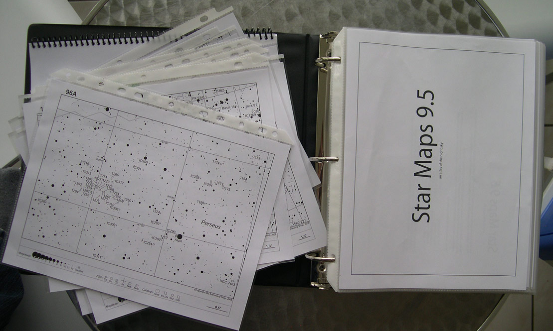
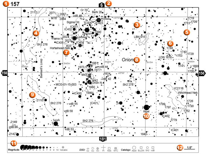
    (Atlas shown with spiral-bound object database. Individual pages are water-resistant and removable. Click for larger images)


    Sample map: mouse over feature numbers for details
    All maps are labelled. 151 maps for each hemisphere. Directional labels, indicating adjacent maps. Stars down to magnitude 9.5 Large areas of nebulosity are outlined, as is the Milky Way boundary. Grid lines divide the map by Right Ascension and Declination. In crowded areas, lines connect the label with the object symbol for easy reference. In some areas, separate   charts magnify overcrowded areas. Only the brightest objects are labelled in dense regions, the remainder are labelled in the closeup view. See examples below. Objects clearly labelled with common names, if available. Constellation names. Constellation boundaries. Major stars are labelled with name and alphabet designation. Easy to read legend on all maps. Map scale.

      Detailed product information:

    • Content available as:
      • Full sky atlas.
      • North or south hemisphere only.

    • Available formats (11"x8.5" size):
      • Binder bound, plastic covered water-resistant pages: Dew will not damage this atlas! Take the whole volume or only the pages you need.
      • Spiral bound book with one plastic cover only.

    • Over 260,000 stars down to magnitude 9.5 on main charts, and down to 12.5 on some close-up charts.

    • 13,810 objects selected from 62 catalogs, including: Messier, New Generation Catalogue (NGC), Index Catalogue (IC), Barnard dark Nebulae, UGC galaxies, PK planetaries, Sh2 sharpless nebulae, Lind's bright and dark nebulae, vdB reflection nebulae, Gum and RCW nebulae, Ruprecht, Berk, Czernik, Collinder, Dolidze open clusters, MGC galaxies, Palomar globulars, Abell galaxy clusters and many more!

    • Larger dark and bright nebulae plotted actual size with outlines.

    • 302 charts cover the whole sky, 151 for each hemisphere, with overlap between charts. Each chart is 200 approx. square degrees, corresponding to about 11.5 degrees declination on all charts and 1h 10' right ascension near the equator. Scale is approx. 1.5cm (0.6") per degree of sky.

    • In busier areas of the sky, closeup charts are available (eg. the Coma Galaxy cluster, Sagittarius Milky Way, Large Magellanic Cloud, etc...)

    • 12 index maps cover the whole sky, making locating the right chart a breeze.

    • Includes a detailed database of all plotted objects in excel format or as a printed spiral-bound book (extra). The object information includes object name and type, size, magnitude, surface brightness, coordinates and constellation.

    • Printed on 24lbs acid-free paper for a durable archival finish.


      PURCHASING INFORMATION

      VisaMC AmexDiscover Paypal

      Please select shipping destination before clicking add to cart. Use Paypal or your credit card, secure purchasing available courtesy of Paypal. All prices in Canadian dollars. You may also make payments via mail (money order only). Please see contact tab for more information.


      Binder-bound water resistant pages:

      Whole Sky $98.99
      Northern Hemisphere only (0 to +90) $59.99
      Southern Hemisphere only (0 to -90) $59.99
      Star Maps 9.5 sample:

      Includes all index maps, the first 23 main maps
      +$8.99 discount coupon towards the purchase of
      the main atlas.
      $18.99


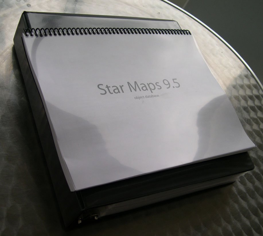
      Spiral-bound Book (not water-resistant)

      Whole Sky $84.99
      Northern Hemisphere only (0 to +90) $49.99
      Southern Hemisphere only (0 to -90) $49.99


      Object descriptions:

      Spiral-bound booklet with detailed object information, arranged alphabetically by catalogue. $24.99
      Excel database of all objects plotted, arranged
      by chart number
      Free with purchase of corresponding maps


      �Copyright JB's Astronomy Shop, 2008
Hosted by www.Geocities.ws

1