|
Position
History
Environment It
happened.. Commerce
Culture Tourism
Photo gallery Interesting
Contact service Chat
HOME
Environment
Natural
conditions
 The
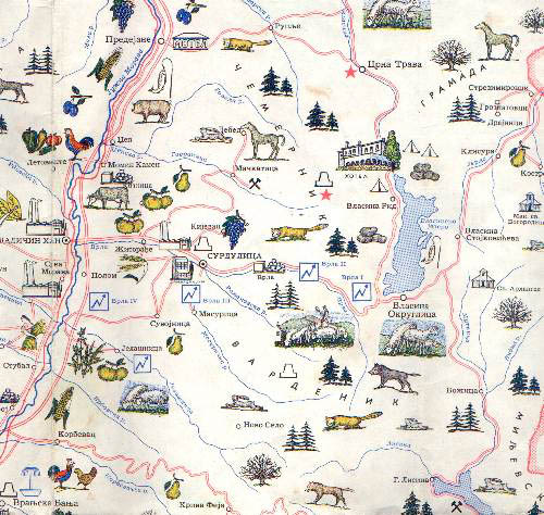
Surdulica landscape includes various morphological forms. There
are eruptive elements, which are the traces of old vulcanic eruptions.
Thus Vardenik, parts of Cemernik, Besna Kobila and Crni Vrh in their
composition include which are 30 meters long and about 10 meter wide.
West of Surdulica there is the aluvial plain of Vrla. The ground of
Surdulica, and the southeastern parts of its fields form a spacious
flood plain. To the east of the flood plain the mountain slopes rise.
Average temperature in Jauary is 1.8 C and in July 20.3 C. While the
submoutainous climate with cold winters and fresh summers is represented
in Vlasinsko-krajiski region, the climate of Surdulica is mildly
continental. The total amount of precipitation in a year ranges from 700
to 1000 mm. The most of the precipitation falls during the summer and
autumn and the least, during summer and winter.
The
Surdulica landscape includes various morphological forms. There
are eruptive elements, which are the traces of old vulcanic eruptions.
Thus Vardenik, parts of Cemernik, Besna Kobila and Crni Vrh in their
composition include which are 30 meters long and about 10 meter wide.
West of Surdulica there is the aluvial plain of Vrla. The ground of
Surdulica, and the southeastern parts of its fields form a spacious
flood plain. To the east of the flood plain the mountain slopes rise.
Average temperature in Jauary is 1.8 C and in July 20.3 C. While the
submoutainous climate with cold winters and fresh summers is represented
in Vlasinsko-krajiski region, the climate of Surdulica is mildly
continental. The total amount of precipitation in a year ranges from 700
to 1000 mm. The most of the precipitation falls during the summer and
autumn and the least, during summer and winter.
The area of Surdulica agricultural district consists of three
types of ground: muddy ground in
the aluvial plain, suitable for cultures requiring moisture, sand ground
on the flood plain, suitable for orchards and meadows and mountain
ground covered
with pastures and deciduous forests.
The Wealth of the Nature
The community of Surdulica has
various natural resources which are insufficiently exploited, but they
are basic conditions for increasing the economic power and more dynamic
development of the community. Among the important resources
are: mineral resources, argicultural ground, forests, and hydrologic
resources which alltogether are suitable for development of tourism.
On the area of the community
various elements of metal resources were detected. Thermal waters were
also found in Surdulica area (above Curkovica village). The most
important of the ores are the ores of molibden at mining field of
Mackatica. Ores have also been found at Curkovica, Kucisnjak and
Kijevac. The ore reserves are estimated to around 50 million tons with
average content of 0,08% Mo, although not all possibilities of
discovering balance reserves are exausted. There are also known, but
insufficiently explored, layers of quartzite and quartz in Mačkatica
area, and according to quality estimates this raw materials could be
used to produce ferosilicium. The appearances of hydrothermal lime are
registered, but not explored enough in localities at Gornji and Donji
Topli Do and at Stre�er.
It is considered that this raw material of high quality could be used to
produce optical glass which justifies further exploration. When raw
materials that are used to produce construction materials are
considered, there are known layers of technical stone. They are in
connection with grandior massive of Surdulica (Vrla river, Prisoje, Bitvrđa
and Romanovska river) which was suitable for the construction of
plant for production of asphalt concrete layer. This plant produces
shaped stones, cubes, panels and various stone furnishings.
The agricultural ground is
large and significant resource. It covers the area of 34.638 Ha and
covers 55,2 % of the total area of the community. Agricultural ground is
divided into pastures (62,4 %) and meadows (24 %). Fields and gardens
cover 10,5 % of agricultural ground. Therefore, Surdulica's agricultural
ground is most suitable for
cattle and sheep farming.
On the community area there is
total of 20.415 Ha of forests and forest grounds, which is about 45% of
total area. The wildlife is very rich: wild boar, rabbit, wolf, fox,
mink..
up
|
