| NATURAL RESOURCES |
| Existing Land Use |
| ����������� Calauag is one of the municipalities in the southern part of Quezon province.� The municipality covers a total land area of 42,318 hectares with slopes ranging from lowland, plain to mountainous.� Slope ranges from 0-1% to 15% and above.� It is composed of 90 barangays with Barangays I to V in the poblacion and already urbanized adjacent barangays of Sta. Maria, Sabang I and II, Pinagtalleran, Baclaran, Pinagbayanan and Pinagkamaligan.� Commercial and industrial establishments are found in these areas adding to the urban feature of said barangays. |
| ����������� Calauag is primarily an agricultural municipality.� Of the 42,318 hectares of land, about 32,426 hectares ore 76% is devoted to agriculture.� The remaining area is subdivided to build up uses, forest, open grassland, roads, rivers and creeks, swamps and fishponds. |
| 1. General Land Use |
| Calauag although considered a minor urban center in the southern province of Quezon is primarily agricultural.� It is composed of 90 barangays.� The urban area is composed of 12 barangays, 23 barangays are situated along major transportation routes, 3 barangays are directly along the path of the railways, and 32 are the so called coastal barangays being situated along the coasts of Pacific Ocean and Calauag-Lamon Bay. |
| With a total land area of 42,318 and a population of 71,621 covered in the year under review, the gross population is about 1.70 persons per hectare. |
| 2.� Built-Up Areas |
| ����������� Built up areas constitute the urban core of the poblacion and portions of the adjacent urbanized barangays.� The total built up area of the municipality is 1,590 hectares which is 3.75% of the total area and distributed as follows: |
| ����������������������������������� Urban built up��������������������������� -���������� ����� 1.15 hectares |
| ����������������������������������� Residential������������������������������� -���������� ����� 1,286.60 |
| ����������������������������������� Commercial������������������������������ -���������� �������� 105.50 |
| ����������������������������������� Institutional������������������������������� -���������� ���������� 38.90 |
| ����������������������������������� Roads & utilities����� ������� -���������� ���������� 63.60 |
| ����������������������������������� Functional Open Space� -���������������� ����� 10.00 |
| ����������������������������������� Industrial������������������������������� ��� -���������������������� 4.25 |
| ����������������������������������������������� Total������������������������� ��� -��������� ����� 1,590.00 hectares |
| 3.� Agricultural Areas |
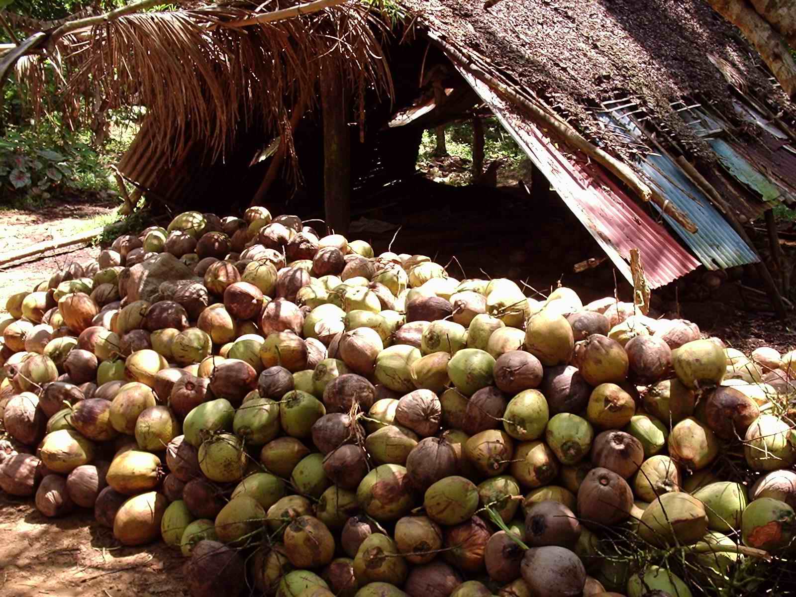
| ����������������������� The agricultural area of the municipality covers a total area of 32,436 hectares or 76% of the total land area.� This is predominantly planted to coconuts, rice, bananas, corn, fruit trees, vegetables and others. |
| 4.� Forest Areas |
| ����������������������� The forest area of Calauag is 1.278 hectares or 3.30% of the total land area.� This is not concentrated in one area alone as small portions are found scattered in the other barangays like Lagay, Atulayan, Kunalum, Talingting, Anas, Bukal and Kinamaligan.� Forest products derived from the forest include lumber, mangrove, timber, nipa, bamboo, buri, charcoal and wild plants.� Dipterocarp species are also found in the forested area. |
| 5.� Open grassland/pastureland |
| ����������������������� Open grassland used as pastureland has approximately land area of 300 hectares.� It could be found in various barangays but most especially along the transportation routes for obvious reason. |
| 6.� Marginal land |
| ����������������������� Marginal land comprises the rivers, springs and creeks which has a total of 15 hectares.� The rivers are known as Pandanan River and Sumulong River.� The springs can be found in Pansol, Yaganak, Kinalin and Maligaya. |
| 7.� Swamps, marshes and Fishponds Areas |
| ����������������������� There are about 2.690 hectares devoted to fishponds.� They are mostly located along the swamps and marshes which are easier to develop and cheaper.� Majority of fishponds in Calauag are privately owned and operated by established companies involved in fishpond operations for bigger yield. |
 |