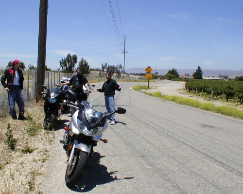
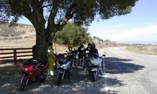
After Vineyard Road, we turned to Highway G14. This road used to be the only highway going north & south until the 101 Freeway was built. Today, G14 is a secondary road used mostly by the military to supply Fort Hunter-Ligget. Yet, G14 remained well maintained and well paved, and its turns were all sweepers. We took advantage of this and covered ground at a high rate of speed. The road went through Los Padres National Forest and passed by Lake Naciemento. There were no homes visible along the road, just the road and Forest surrounding it. Occasionally, we�d pass by a slow moving cage but they were few and far between. I believe we were almost always above 80 mph and it was a blast. We stopped by a junction at a place called Martinus Corner. Basically, it was a stop sign with a large Oak tree and a country store.
We continued on until the end of G14 somewhere in the vicinity of King City where we filled up our tanks for the next leg of the trip.
Getting Seperated
After gassing up, we hopped on the 101 Freeway north to find G16, Carmel Valley Road. There was one hell of a strong headwind northbound on the freeway and I was having a difficult time hanging on at 90 mph. I was quite relieved to get off the 101. However, when we arrived at G16, only the first half of riders exited the freeway. We had lost Redcliffs and Ken somewhere back there. So Dave and I went back to the gas station 10 miles away to make sure Red and Ken didn�t crash back there, while Goldylocks and CWS waited at the freeway exit to wave Red & Ken if they passed by. It was a useless trip as the two missing persons were nowhere to be found. Now I had to deal with that damned headwind again on the way back! Back at the G16 exit, we decided to just wait a while and hope that Ken & Redcliffs would figure things out and eventually meet us. We figured they�re smart and can think intelligently for themselves. We were right. Red & Ken knew they missed G16. However, G17, the next exit after G17 intersected G16 so they actually found their way onto the right road but where about 5 miles down ahead of us. Confused? Don�t worry. Suffice it to say, the group found each other and the ride continued only after a brief delay. All courtesy of the smart & experienced riders of ST.net (time for pat in back). |