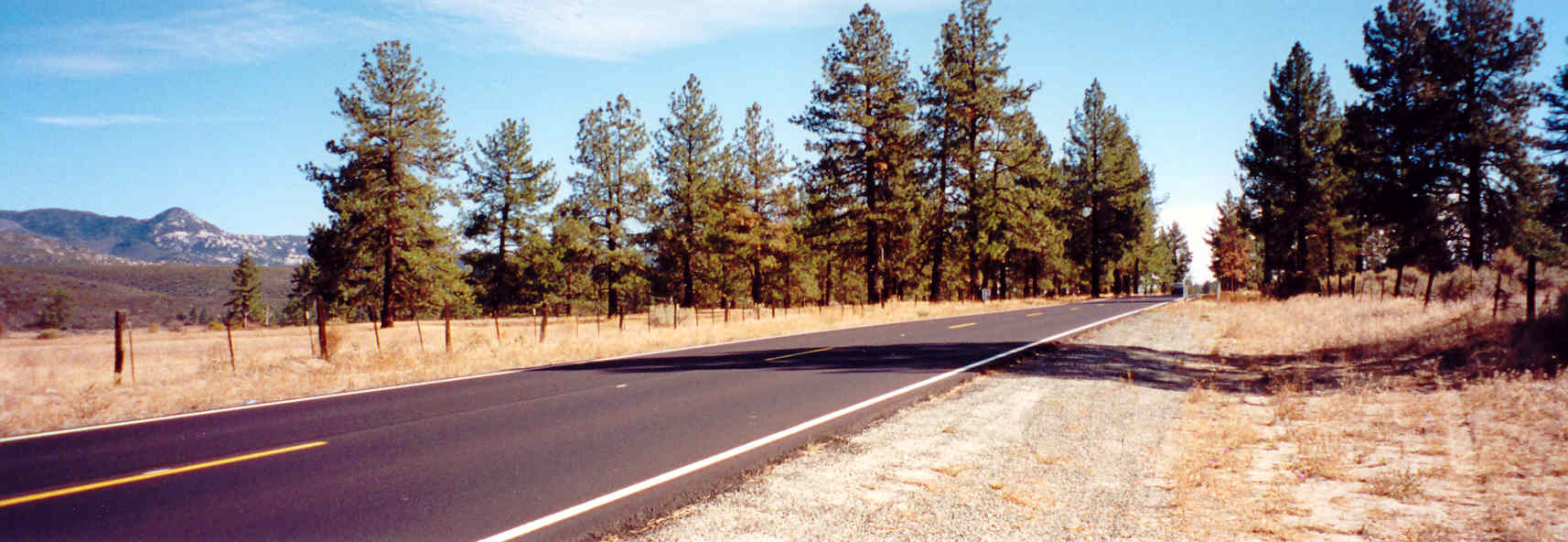
The 74 started its climb up to Keen Camp Summit (4,900 feet elevation) before dropping back down towards Hemet. At a junction, I turned off the 74 to Highway 243 towards Idyllwild. The 243 climbed a bit more and it got twistier. The road remained smooth and predictable however, although some turns looked like they tightened up. Some turns were 25 mph 180 degree sweepers. Great fun! This area however was close to lots of residential spots so it was a good idea to be cautious for slow moving and errant traffic on the road. Sure enough, as I got closer to Idyllwild, I ran into very slow traffic. Cars soon clogged the road and they were turning off the road left and right to park. It was best to keep my speeds very low here. This one ancient Chevy pickup just stopped in the middle of the road looking for a place to park. Stupid moron! I swung around the truck by crossing the double yellow, only to encounter an oncoming Sheriff�s car! The Sheriff didn�t bother turning around to give me a ticket. Wise for him anyway as he would have had to catch up to me. As soon as I got around that stupid pickup, I was gone past Idyllwild and was headed for Pine Cove.
Past touristy Idyllwild, the 243 went back to being a smooth, twisty road as it passed over creeks, lakes, and beautiful pine forests. I passed the community of Pine Cove which sat 5,800 feet above sea level. Up here, I noticed only a slight deficit in the Busa�s power. It was still fast and powerful and it worked to my advantage. I dispatched the few slow cars I encountered with ease. They were all puttering along with their engine�s gasping at the rarified air. I passed by a couple of turn offs that looked very interesting. I stopped at one with a big �Vista Point� sign on it. This site had some info on the Pines to Palms Highway, which I didn�t bother to read! Doh! However, I was able to take some nice pictures of the views looking down into the desert below.
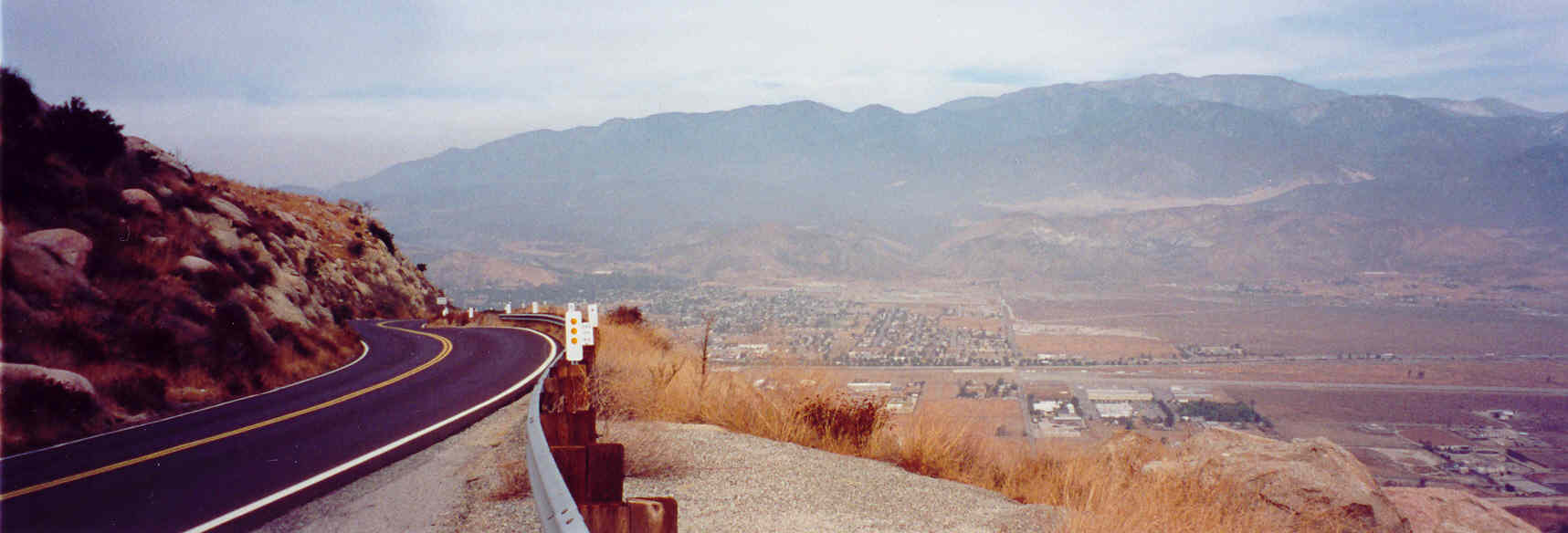
After Pine Cove Park, 243 began its descent towards the desert town of Banning. The road remained smooth and flowing but the pine trees soon gave way to low lying shrubs and chaparral terrain again--hence the name Pines to Palms Highway. The road went left then right over and over as it lost altitude quickly. I was able to stop for a minute at a small turn off to take pictures of the desert below. Up there, I was able to see a wide vista. Interstate 10 was clearly visible as it cut a swath across the landscape and went on beyond the horizon towards Palms Springs.
|