| Back to Rogue's Home |
| Go to Next Page |
| Back to Rogue's Home |
| Go to Next Page |
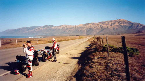
| Day 2 � Friday, September 28th, 2001 We all met at the parking lot at 8AM. Our planned ride was to take us North on Pacific Coast Highway to the Monterey Peninsula. Have lunch in Monterey, then ride Carmel Valley Road to the 101. Then, we planned to jump back on G14 and Highway 46, then back down to Cambria. It was a total distance of 260 miles. That was the plan anyway. After a satisfying breakfast at the restaurant across the street, we headed north. The sun was shining brightly, the temperature was pleasant, and the sky was a clear blue. We could not have asked for more perfect conditions as we rode our motorcycles on an empty PCH. A few miles from Piedras Blancas (Spanish for "white rocks"), we where rewarded with a beautiful view of Pacific Coast Highway. We just had to stop for pictures. |
| Pacific Coast Highway with the Santa Lucia Mountains in the background--9AM: San Luis Obispo, CA |
| After taking a few photos, we continued north towards Ragged Point. Before that however, PCH remained fairly flat with just a few sweeping turns. However, the views where always beautiful and sometimes breathtaking. I�ve driven through here many times before, and this wasn�t even my first time riding my motorcycle here, yet its beauty never ceases to inspire my feelings for it. After about 10 miles, the flat plateaus gave way to the Mountainous region. PCH started to twist and turn as it began its climb up the Santa Lucia Mountain Range. Some turns were very tight and blind with some dirt thrown in for good measure. We were very careful though and chose to enjoy the view, not the speed at which we could ride. At around 20 miles, we reached Ragged Point and stopped at the Ragged Point Inn parking lot. This place had gift shops, restrooms, and a nice restaurant. Of course, Ragged Point was the main attraction. This point of interest had a trail that lead down into the ragged beaches below, about a few hundred feet. The view was beautiful as it has always been. |
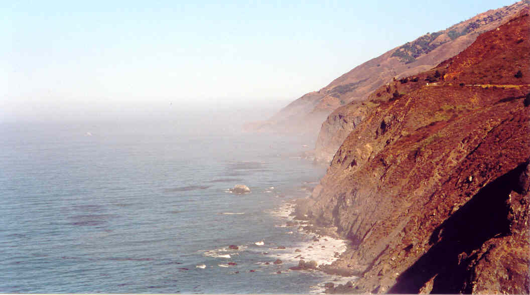 |
| Ragged Point along Pacific Coast Highway--9:30AM: San Luis Obispo, CA |
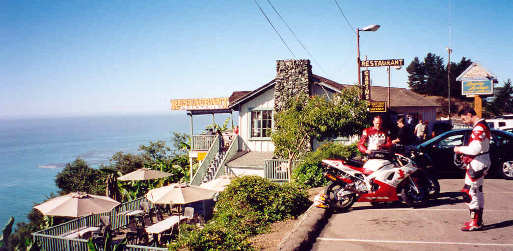
| After Ragged Point, we got back on PCH. The road north of Ragged Point was very tight and twisty, with some turns marked 10 mph. Again, we made our way cautiously for it was hard to tell what lurked on the exit of each turn, whether it was sand on the road, rocks, or an oncoming vehicle crossing over to our side. Here again, Los Padres National Forest starts up again and dominates the landscape for many miles. We rode past Naciemento-Ferguson road to our right, which lead to Fort Hunter Ligget. This was one of those roads I�ve always wanted to ride for I knew there was spectacular views at the top of it. Unfortunately, there was no time to explore this interesting road. Perhaps on another trip. We kept on riding to the small community of Lucia. Here, there was a restaurant and a 10 room Motel. The latter literally sat right on the edge of a cliff. I could imagine sleeping there at night. What a view that would be! |
 |
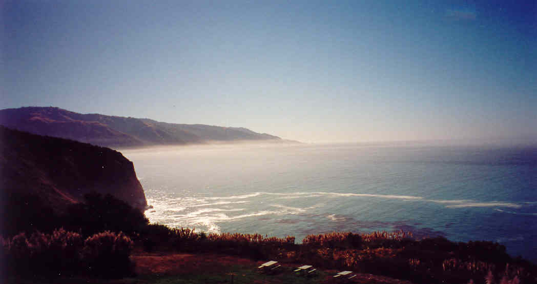 |
| Above left, the community of Lucia with restaurant and hotel on the edge of a cliff(not visible in this picture). Above right, the view off the Lucia Lodge. How would you like to wake up to this in the morning? |
 |