DAY 4
DAY 6
FINISH:
miles
Kalispell, MT
3702.6
knew I would have to leave SE
Montana well before sunrise in order to
make it to NW Montana at a reasonable
hour. I headed west on I-94 for about
50 miles, and then onto Route 12.
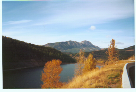
Route 12 through central Montana is a
lonely highway with little sign of life,
but is very scenic. I passed through
Roundup as I watched the sun rise, and
continued on to White Sulphur Springs.
Just before White Sulphur Springs, I
turned onto Route 89, another scenic
road, on my way toward Great Falls. I
had to drive across the entire city of
Great Falls and across the Missouri
River to get to the Interstate (I-15) and
more 75 mph driving. I actually kept a
speed of around 82, until I saw a police
70 using the cruise control. The police truck stayed right behind me, but one lane to my
left, for about 3 miles before he started flashing his lights. I started to pull over, but he
passed me and pulled over the truck ahead of me. But it wasn't much longer before I
had more issues with authorities...
I crossed the border at Sweetgrass, Montana, and was asked the usual questions by
Canadian customs. At the end of the questioning, I was given a yellow slip and told to
park my car and go inside the building for "identification." After waiting for about 10
minutes for the person who was ahead of me, I was brought inside a small room, and
asked for my ID (drivers license and Social Security card), a photocopy of which was
made and is probably somewhere on file inside that building. I was asked more detailed
questions about myself and my trip, and finally was free to head on my way. The
whole process took about a half hour.
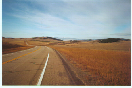
Once in Alberta, I drove to Lethbridge, and then headed west on Route 3 toward
Route 3 from Lethbridge reminded me
of the Great Plains of Saskatchewan
and Manitoba, but once I passed Fort
Macleod, the land started to get more
mountainous, as I made my way toward
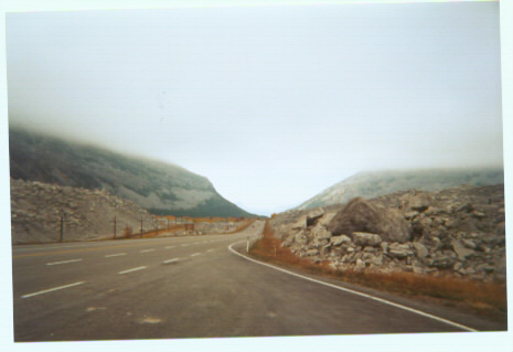
Crowsnest Pass, a town in Alberta
about 15 miles away from the B.C.
border, and toward Crowsnest Pass, the
mountain pass at the Alberta/British
Columbia border (the town and the
mountain pass have the same name).
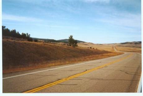
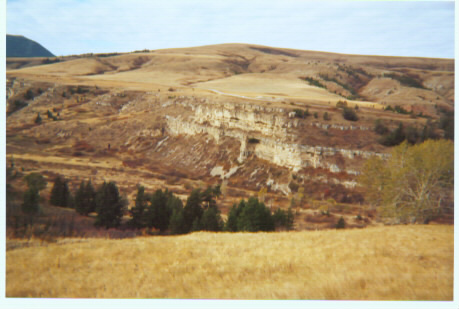
Route 3 between Pincher, Alberta and
Elko, British Columbia is particularly
scenic. But once in Elko, I headed back
south toward Montana, thus finishing
my driving in Canada for this trip. I
logged another 80 miles in Montana for
Day 5, arriving in Kalispell, where I
would spend the night.